Old Cumbria Gazetteer
 |
 |
|
||
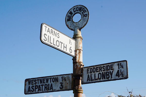
| New Cowper, Holme St Cuthbert | ||||
| New Cowper | ||||
| civil parish:- | Holme St Cuthbert (formerly Cumberland) | |||
| county:- | Cumbria | |||
| locality type:- | locality | |||
| locality type:- | buildings | |||
| coordinates:- | NY12224538 (etc) | |||
| 1Km square:- | NY1245 | |||
| 10Km square:- | NY14 | |||
|
|
||||
 BZV34.jpg Rear. (taken 7.2.2014) |
||||
|
|
||||
| evidence:- | old map:- OS County Series (Cmd 27 16) placename:- Cowper |
|||
| source data:- | Maps, County Series maps of Great Britain, scales 6 and 25
inches to 1 mile, published by the Ordnance Survey, Southampton,
Hampshire, from about 1863 to 1948. |
|||
|
|
||||
| evidence:- | old map:- Donald 1774 (Cmd) placename:- Couper |
|||
| source data:- | Map, hand coloured engraving, 3x2 sheets, The County of Cumberland, scale about 1
inch to 1 mile, by Thomas Donald, engraved and published by Joseph Hodskinson, 29
Arundel Street, Strand, London, 1774.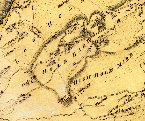 D4NY14NW.jpg "Couper" block or blocks, labelled in lowercase; a hamlet or just a house item:- Carlisle Library : Map 2 Image © Carlisle Library |
|||
|
|
||||
| evidence:- | database:- Listed Buildings 2010 placename:- New Cowper Farm |
|||
| source data:- | courtesy of English Heritage "NEW COWPER FARMHOUSE AND ADJOINING BARN / / / HOLME ST CUTHBERT / ALLERDALE / CUMBRIA / II / 411783 / NY1222345389" |
|||
|
|
||||
| places:- |
|
|||
|
||||
|
||||
 Lakes Guides menu.