 Old Cumbria Gazetteer
 |
 |
|
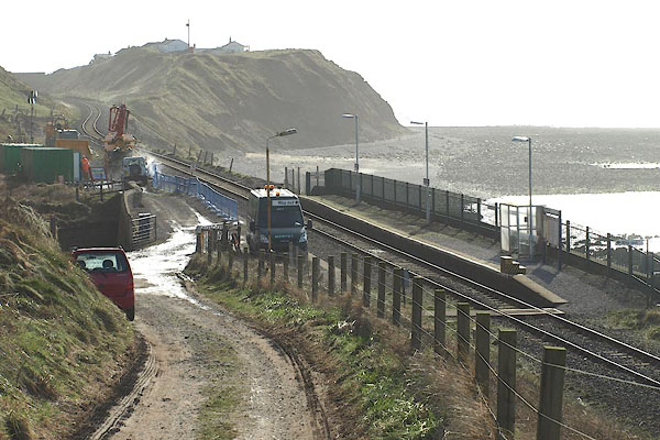
| Nethertown Station, Lowside Quarter | ||
| Nethertown Station | ||
| site name:- | Whitehaven and Furness Junction Railway | |
| locality:- | Nethertown | |
| civil parish:- | Lowside Quarter (formerly Cumberland) | |
| county:- | Cumbria | |
| locality type:- | railway station | |
| coordinates:- | NX98600789 | |
| 1Km square:- | NX9807 | |
| 10Km square:- | NX90 | |
| SummaryText:- | Opened 1849. | |
|
|
||
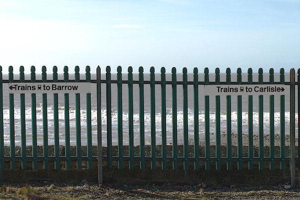
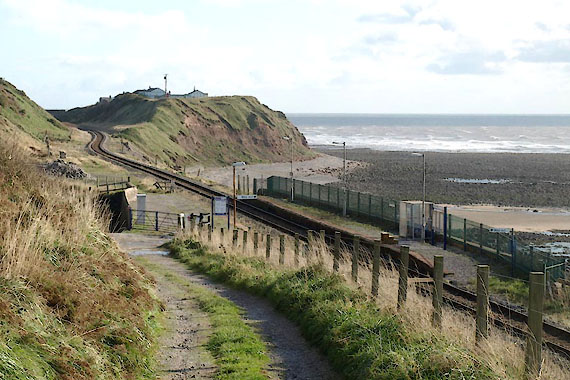 BVM23.jpg (taken 7.10.2011) 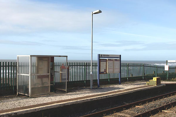 BOS46.jpg (taken 27.2.2008) |
||
|
|
||
| evidence:- | old map:- OS County Series (Cmd 72 14) placename:- Nethertown Station item:- raialway signal; railway bridge; crane |
|
| source data:- | Maps, County Series maps of Great Britain, scales 6 and 25
inches to 1 mile, published by the Ordnance Survey, Southampton,
Hampshire, from about 1863 to 1948. OS County Series (Cmd 72 15) 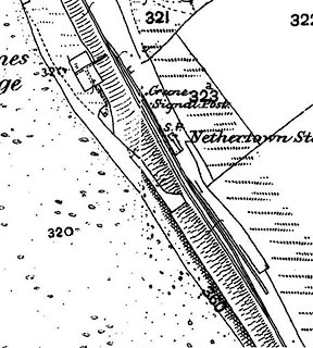 click to enlarge click to enlargeCSRY0101.jpg "Nethertown Station / Crane / Signal Post / S.P." |
|
|
|
||
| evidence:- | old map:- Garnett 1850s-60s H placename:- Nethertown Station |
|
| source data:- | Map of the English Lakes, in Cumberland, Westmorland and
Lancashire, scale about 3.5 miles to 1 inch, published by John
Garnett, Windermere, Westmorland, 1850s-60s.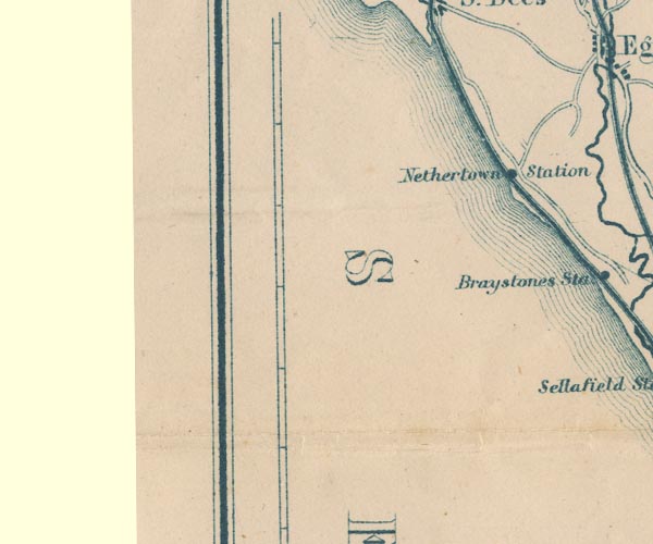 GAR2NX90.jpg "Nethertown Station" dot by railway item:- JandMN : 82.1 Image © see bottom of page |
|
|
|
||
 BOS47.jpg (taken 27.2.2008) 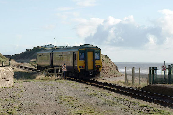 BVM27.jpg Train going S. (taken 27.2.2008) |
||
|
|
||
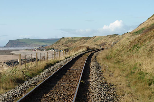 BVM25.jpg View N. (taken 7.10.2011) 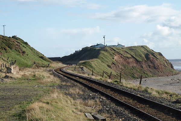 BVM26.jpg View S. (taken 7.10.2011) |
||
|
|
||
 BOS45.jpg (taken 27.2.2008) 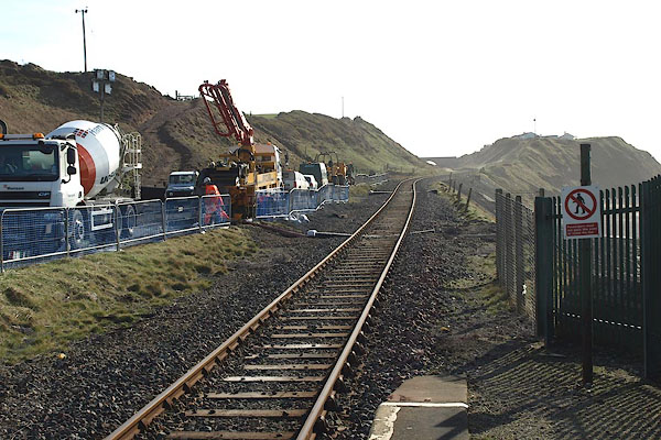 BOS48.jpg View S. (taken 27.2.2008) |
||
|
|
||
 Lakes Guides menu.