button to main menu  Old Cumbria Gazetteer
Nentsberry, Alston Moor
Nentsberry
civil parish:-   Alston Moor (formerly Cumberland)
county:-   Cumbria
locality type:-   locality
locality type:-   buildings
coordinates:-   NY76384518 (etc) 
1Km square:-   NY7645
10Km square:-   NY74

evidence:-   old map:- OS County Series (Cmd 34 15) 
placename:-  Nentsberry
source data:-   Maps, County Series maps of Great Britain, scales 6 and 25 inches to 1 mile, published by the Ordnance Survey, Southampton, Hampshire, from about 1863 to 1948.

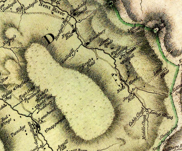
evidence:-   old map:- Donald 1774 (Cmd) 
placename:-  Nentsbury
source data:-   Map, hand coloured engraving, 3x2 sheets, The County of Cumberland, scale about 1 inch to 1 mile, by Thomas Donald, engraved and published by Joseph Hodskinson, 29 Arundel Street, Strand, London, 1774.
image
D4NY74SE.jpg
"Nentsbury"
house 
item:-  Carlisle Library : Map 2
Image © Carlisle Library

evidence:-   old map:- Hall 1820 (Cmd) 
placename:-  Nentsbury
source data:-   Map, hand coloured engraving, Cumberland, scale about 21 miles to 1 inch, engraved by Sidney Hall, published by S Leigh, 18 Strand, London, 1820-31.
image  click to enlarge
HA14.jpg
"Nentsbury"
circle, italic lowercase text; settlement 
item:-  JandMN : 91
Image © see bottom of page
places:-  
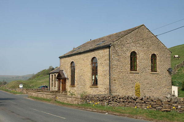
NY76334524 chapel, Nentsberry (Alston Moor)
NY76674488 Coghall (Alston Moor)
NY76504488 Croft (Alston Moor)
NY76694509 Haggs Mine (Alston Moor)
NY76564503 Hags (Alston Moor)
NY76614489 Hayring Cotts (Alston Moor)
NY76324551 High Nentsberry (Alston Moor)
NY76384515 inn, Nentsberry (Alston Moor)
NY76414546 limekiln, Nentsberry (Alston Moor)
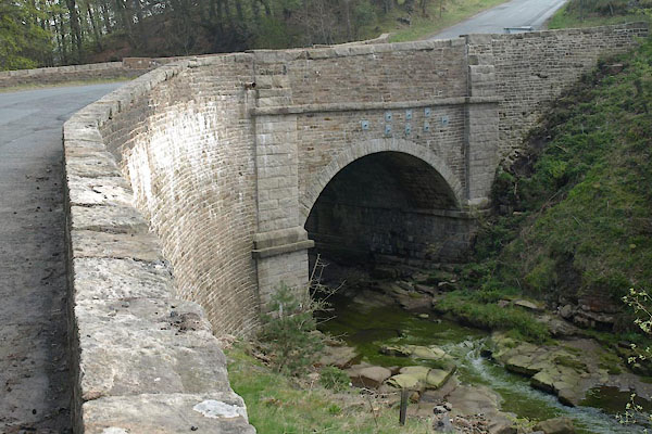
NY76764491 Nentsberry Bridge (Alston Moor)
NY76514503 Nentsberry Haggs Shaft (Alston Moor)
NY76384515 Nentsberry Hall (Alston Moor)
NY76194566 Nether Nentsberry (Alston Moor)
button to lakes menu  Lakes Guides menu.