 Old Cumbria Gazetteer
 |
 |
|
| Narrowgate Beacon, Dufton | ||
| Narrowgate Beacon | ||
| locality:- | High Cup | |
| civil parish:- | Dufton (formerly Westmorland) | |
| county:- | Cumbria | |
| locality type:- | beacon (site) | |
| coordinates:- | NY73712604 | |
| 1Km square:- | NY7326 | |
| 10Km square:- | NY72 | |
| altitude:- | 2151 feet | |
| altitude:- | 656m | |
|
|
||
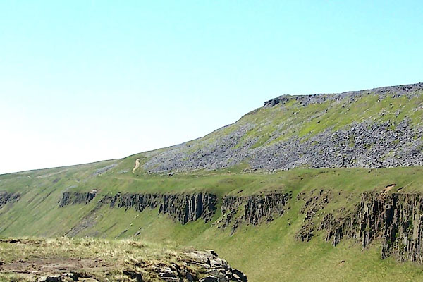 BQR92.jpg The cairn is just visible at the point. (taken 1.6.2009) |
||
|
|
||
| evidence:- | old map:- OS County Series (Wmd 10 1) placename:- Narrowgate Beacon |
|
| source data:- | Maps, County Series maps of Great Britain, scales 6 and 25
inches to 1 mile, published by the Ordnance Survey, Southampton,
Hampshire, from about 1863 to 1948. |
|
|
|
||
 Lakes Guides menu.