 |
 |
   |
|
|
|
Naddle Farm |
| locality:- |
Naddle Forest |
| civil parish:- |
Shap Rural (formerly Westmorland) |
| county:- |
Cumbria |
| locality type:- |
buildings |
| coordinates:- |
NY50951537 |
| 1Km square:- |
NY5015 |
| 10Km square:- |
NY51 |
|
|
|
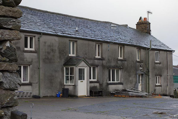
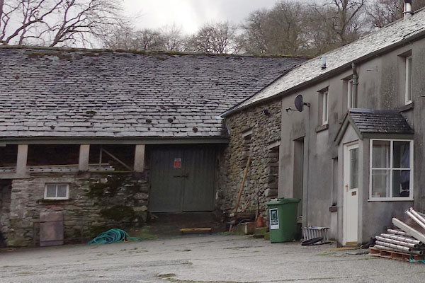
BZT30.jpg (taken 28.12.2013)
|
|
|
| evidence:- |
old map:- OS County Series (Wmd 13 16)
placename:- Naddle Forest
|
| source data:- |
Maps, County Series maps of Great Britain, scales 6 and 25
inches to 1 mile, published by the Ordnance Survey, Southampton,
Hampshire, from about 1863 to 1948.
|
|
|
| evidence:- |
old map:- Jefferys 1770 (Wmd)
placename:- Naddle
|
| source data:- |
Map, 4 sheets, The County of Westmoreland, scale 1 inch to 1
mile, surveyed 1768, and engraved and published by Thomas
Jefferys, London, 1770.
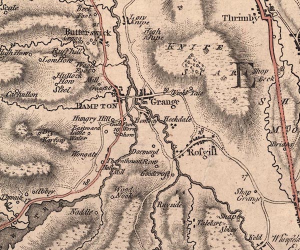
J5NY51NW.jpg
"Naddle"
circle, labelled in italic lowercase text; settlement, farm, house, or hamlet?
item:- National Library of Scotland : EME.s.47
Image © National Library of Scotland |
|
|
| evidence:- |
old map:- Cary 1789 (edn 1805)
placename:- Naddle
|
| source data:- |
Map, uncoloured engraving, Westmoreland, scale about 2.5 miles
to 1 inch, by John Cary, London, 1789; edition 1805.
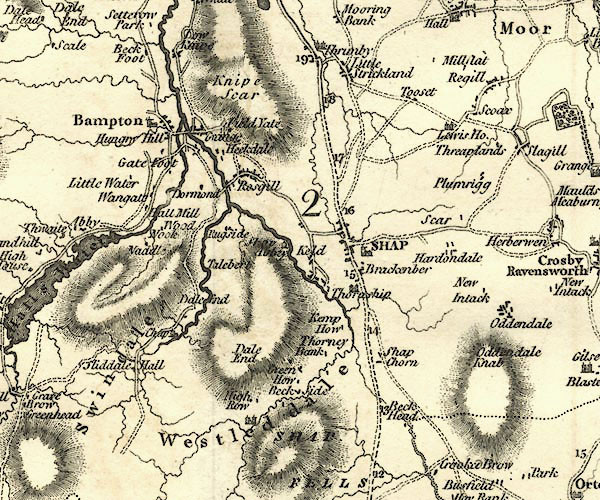
CY24NY51.jpg
"Naddle"
block/s, labelled in italic lowercase; house, or hamlet
item:- JandMN : 129
Image © see bottom of page
|
|
|
| evidence:- |
old map:- Housman 1800 map 4
placename:- Naddle
|
| source data:- |
Maps, hand coloured engraving, Lakes in Lancashire and Westmorland, 7 lakes on one
sheet, engraved by McIntyre, Edinburgh, published by F Jollie, Carlisle, Cumberland,
and C Law, Ave Maria Lane, London, 1800.
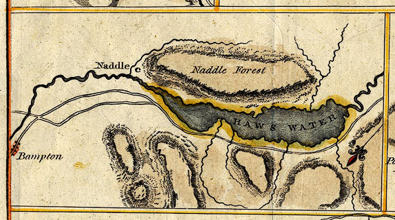 click to enlarge click to enlarge
HM02Haw.jpg
"Naddle"
item:- Dove Cottage : 2007.38.97
Image © see bottom of page
|
|
|
|
BZT37.jpg ?Gallery glimpsed in another picture of the farm.
(taken 28.12.2013)
|
|
|
hearsay:-
|
There is a stone based gallery along the side of a barn.
|
|
|


 click to enlarge

 Lakes Guides menu.