 |
 |
   |
|
|
|
Moota Hill |
| civil parish:- |
Blindcrake (formerly Cumberland) |
| county:- |
Cumbria |
| locality type:- |
hill |
| coordinates:- |
NY14443632 (etc) |
| 1Km square:- |
NY1436 |
| 10Km square:- |
NY13 |
| altitude:- |
825 feet |
| altitude:- |
250m |
|
|
| evidence:- |
old map:- OS County Series (Cmd 46 5)
placename:- Moota Hill
|
| source data:- |
Maps, County Series maps of Great Britain, scales 6 and 25
inches to 1 mile, published by the Ordnance Survey, Southampton,
Hampshire, from about 1863 to 1948.
|
|
|
| evidence:- |
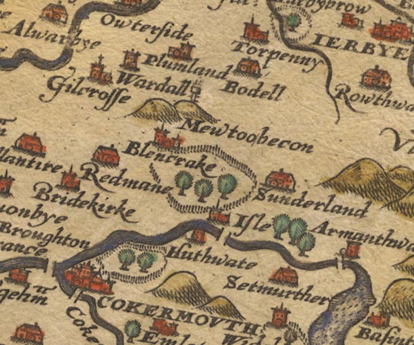
old map:- Saxton 1579
placename:- Mewtoobecon
|
| source data:- |
Map, hand coloured engraving, Westmorlandiae et Cumberlandiae Comitatus ie Westmorland
and Cumberland, scale about 5 miles to 1 inch, by Christopher Saxton, London, engraved
by Augustinus Ryther, 1576, published 1579-1645.

Sax9NY13.jpg
"Mewtoobecon"
On a hillock, post with rungs to climb to fire basket on top.
item:- private collection : 2
Image © see bottom of page
|
|
|
| evidence:- |
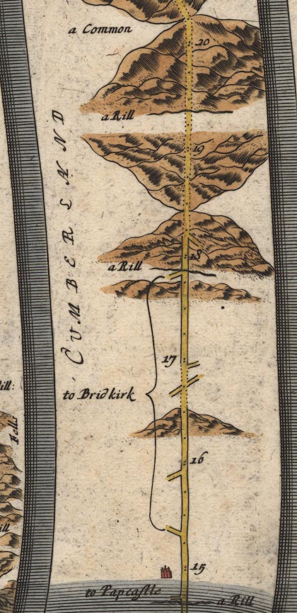
old map:- Ogilby 1675 (plate 96)
|
| source data:- |
Road strip map, hand coloured engraving, the Road from Kendal to
Cockermouth, and the Road from Egremond to Carlisle, scale about
1 inch to 1 mile, by John Ogilby, London, 1675.

OG96Bm15.jpg
In mile 18, Cumberland.
Road ascends then descends a large hill.
item:- JandMN : 22
Image © see bottom of page
|
|
|
| evidence:- |
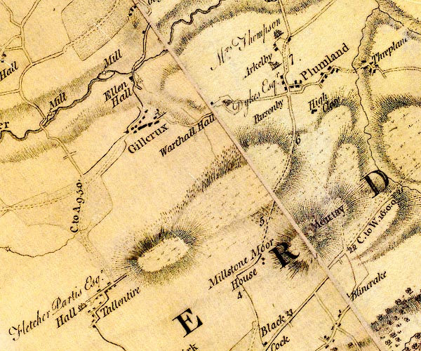
old map:- Donald 1774 (Cmd)
placename:- Moutay
|
| source data:- |
Map, hand coloured engraving, 3x2 sheets, The County of Cumberland, scale about 1
inch to 1 mile, by Thomas Donald, engraved and published by Joseph Hodskinson, 29
Arundel Street, Strand, London, 1774.

D4NY13NW.jpg
"Moutay"
hill hachuring; a hill or mountain
item:- Carlisle Library : Map 2
Image © Carlisle Library |
|
|
| evidence:- |
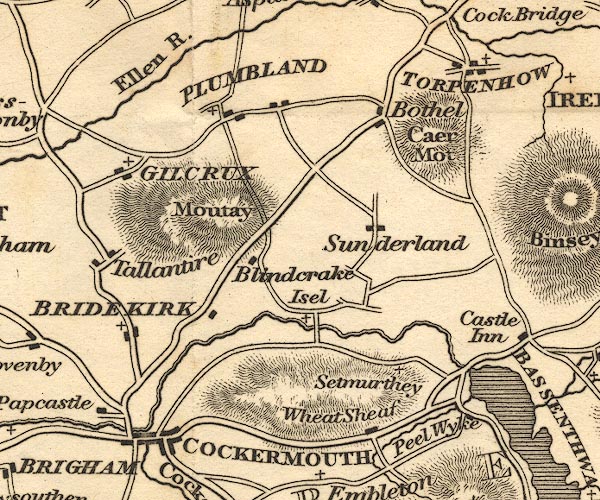
old map:- Otley 1818
placename:- Moutay
|
| source data:- |
Map, uncoloured engraving, The District of the Lakes,
Cumberland, Westmorland, and Lancashire, scale about 4 miles to
1 inch, by Jonathan Otley, 1818, engraved by J and G Menzies,
Edinburgh, Scotland, published by Jonathan Otley, Keswick,
Cumberland, et al, 1833.

OT02NY13.jpg
item:- JandMN : 48.1
Image © see bottom of page
|
|
|
hearsay:-
|
Said to be one of the assembly places for the Pilgrimage of Grace, 1536.
|
|
|


 Lakes Guides menu.