Old Cumbria Gazetteer
 |
 |
|
||
| Mill Gill | ||||
| runs into:- |  St John's Beck St John's Beck |
|||
|
|
||||
| civil parish:- | St John's Castlerigg and Wythburn (formerly Cumberland) | |||
| county:- | Cumbria | |||
| locality type:- | river | |||
| 1Km square:- | NY3219 | |||
| 10Km square:- | NY31 | |||
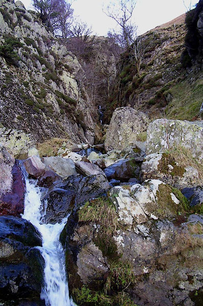
| SummaryText:- | ?water is stolen and taken by a leat to Thirlmere? | |||
|
|
||||
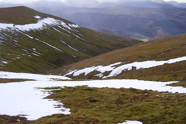 BOV25.jpg (taken 17.3.2008)  BND88.jpg (taken 5.2.2007) |
||||
|
|
||||
| evidence:- | old map:- OS County Series (Cmd 65 13) placename:- Mill Gill |
|||
| source data:- | Maps, County Series maps of Great Britain, scales 6 and 25
inches to 1 mile, published by the Ordnance Survey, Southampton,
Hampshire, from about 1863 to 1948. |
|||
|
|
||||
| evidence:- | old map:- Donald 1774 (Cmd) |
|||
| source data:- | Map, hand coloured engraving, 3x2 sheets, The County of Cumberland, scale about 1
inch to 1 mile, by Thomas Donald, engraved and published by Joseph Hodskinson, 29
Arundel Street, Strand, London, 1774.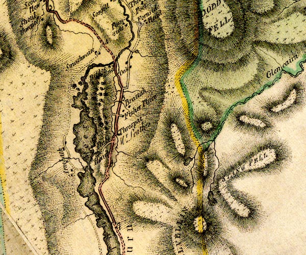 D4NY31NW.jpg single or double wiggly line; a river item:- Carlisle Library : Map 2 Image © Carlisle Library |
|||
|
|
||||
| places:- |
|
|||
|
||||
Lakes Guides menu.