


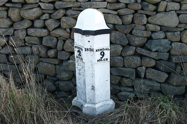
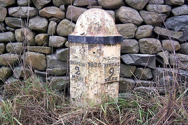
BQA85.jpg " - BURTON 2 MILES / 1826 / KENDAL 9 MILES" (taken 6.2.2009)
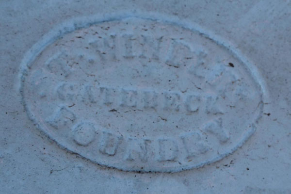
BQA86.jpg Maker's mark:-
"T. WIN[DER] / GATEBECK / FOUNDRY" (taken 6.2.2009)
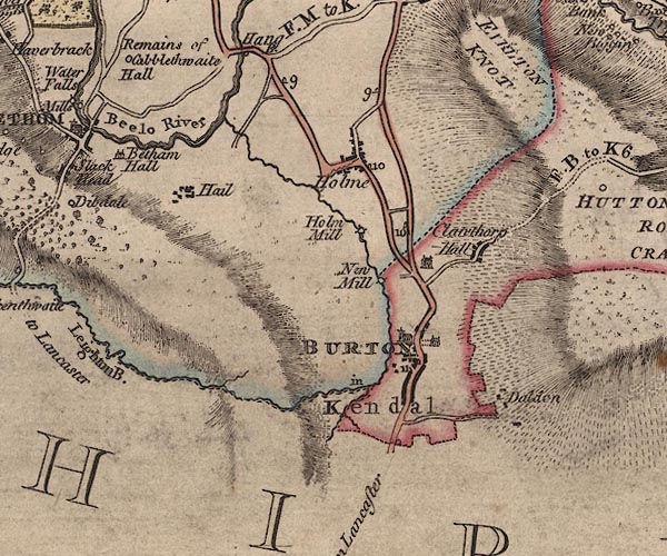
J5SD57NW.jpg
"9"
milestone marked by road
item:- National Library of Scotland : EME.s.47
Image © National Library of Scotland
courtesy of English Heritage
"MILEPOST APPROXIMATELY 300 METRES NORTH OF HOLME PARK / / A 6070 / HOLME / SOUTH LAKELAND / CUMBRIA / II / 76675 / SD5301979648"
courtesy of English Heritage
"Milepost. Dated 1826. Cast iron. Half-hexagonal with fluted faces and domed top. Painted black and white. Marked:"
"BURTON / 2 / MILES"
"on North side and"
"KENDAL / 9 / MILES"
"on South."
"One of a series of similar milestones and boundary stones on the Heronsyke Turnpike for which the work was supervised by John McAdam."
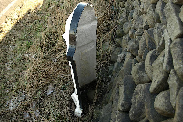
BQA87.jpg Back of the marker.
(taken 6.2.2009)
BLO21.jpg Before restoration
" - BURTON 2 MILES / 1826 / KENDAL 9 MILES" (taken 13.1.2006)

 Lakes Guides menu.