Old Cumbria Gazetteer
 |
 |
|
||
| Maize Beck | ||||
| civil parish:- | Murton (formerly Westmorland) | |||
| civil parish:- | Dufton (formerly Westmorland) | |||
| county:- | Cumbria | |||
| locality type:- | river | |||
| locality type:- | boundary | |||
| locality type:- | county boundary | |||
| 1Km square:- | NY7626 (etc) | |||
| 10Km square:- | NY72 | |||
| civil parish:- | Dufton (formerly Westmorland) | |||
| county:- | Cumbria | |||
| locality type:- | river | |||
| 10Km square:- | NY82 | |||
| county:- | Durham | |||
| current boundary | ||||
| locality:- | Cumbria boundary | |||
|
|
||||
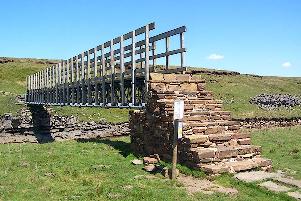
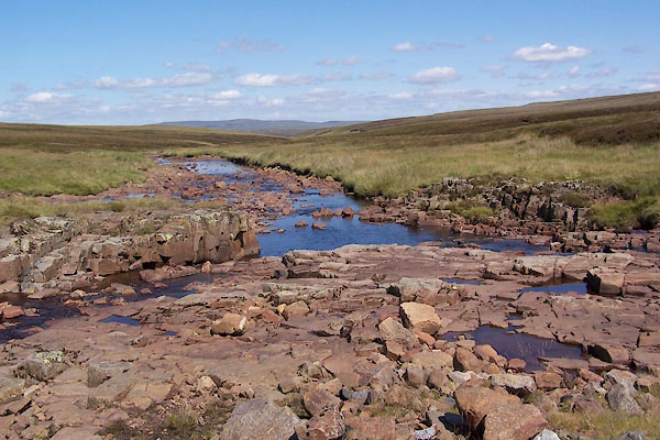
 BQS03.jpg At the footbridge, (taken 1.6.2009) 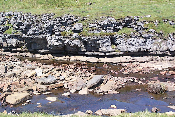 BQS04.jpg At the footbridge, (taken 1.6.2009) |
||||
|
|
||||
| evidence:- | old map:- OS County Series (Wmd 6 13) placename:- Maize Beck |
|||
| source data:- | Maps, County Series maps of Great Britain, scales 6 and 25
inches to 1 mile, published by the Ordnance Survey, Southampton,
Hampshire, from about 1863 to 1948. OS County Series (Wmd 6 14) OS County Series (Wmd 6 16) OS County Series (Wmd 10 3) |
|||
|
|
||||
| evidence:- | old map:- Morden 1695 (Wmd) |
|||
| source data:- | Map, hand coloured engraving, Westmorland, scale about 2.5 miles to 1 inch, by Robert
Morden, published by Abel Swale, the Unicorn, St Paul's Churchyard, Awnsham, and John
Churchill, the Black Swan, Paternoster Row, London, 1695. MD10NY82.jpg Running into the Tees below Birkdale; there is a deleted label by this stream. item:- JandMN : 24 Image © see bottom of page |
|||
|
|
||||
| evidence:- | old map:- Cary 1789 (edn 1805) placename:- Maize Beck |
|||
| source data:- | Map, uncoloured engraving, Westmoreland, scale about 2.5 miles
to 1 inch, by John Cary, London, 1789; edition 1805.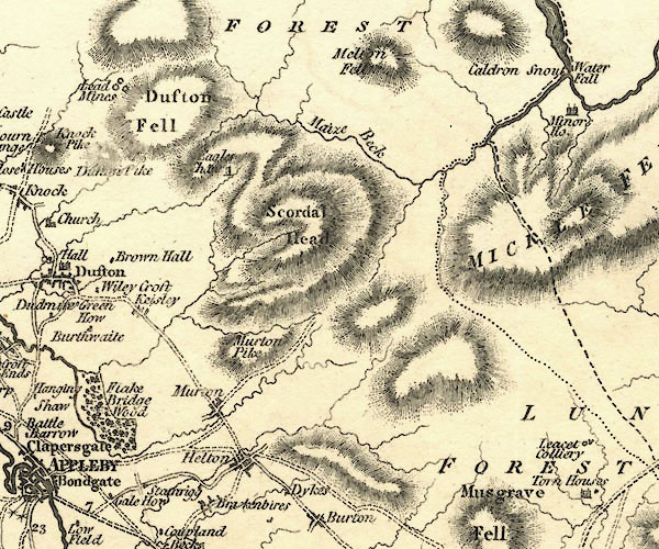 CY24NY72.jpg "Maize Beck" 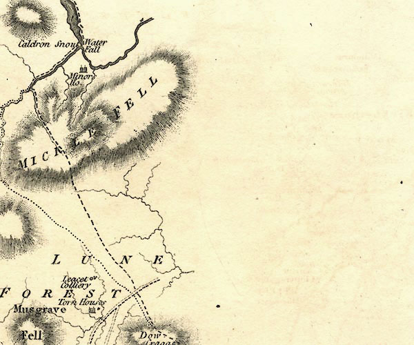 CY24NY82.jpg river running into the Tees; county boundary item:- JandMN : 129 Image © see bottom of page |
|||
|
|
||||
| evidence:- | old map:- Cooper 1808 |
|||
| source data:- | Map, hand coloured engraving, Westmoreland ie Westmorland, scale
about 9 miles to 1 inch, by H Cooper, 1808, published by R
Phillips, Bridge Street, Blackfriars, London, 1808. click to enlarge click to enlargeCOP4.jpg tapering wiggly line; river; county boundary item:- Dove Cottage : 2007.38.53 Image © see bottom of page |
|||
|
|
||||
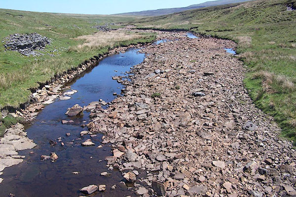
 BVB76.jpg (taken 24.7.2011) 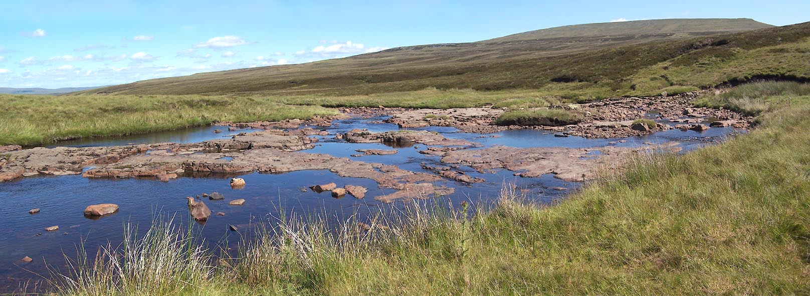 Click to enlarge BVB77.jpg (taken 24.7.2011) 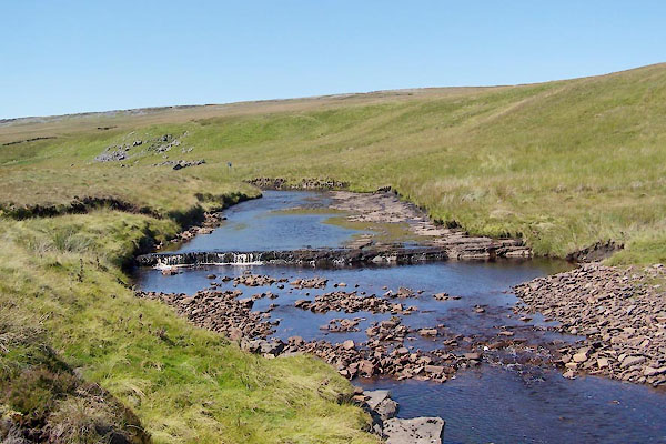 BVB78.jpg Waterfall, (taken 24.7.2011) 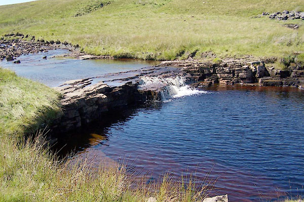 BVB79.jpg Waterfall, (taken 24.7.2011) 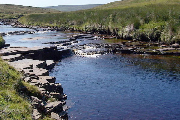 BVB80.jpg Waterfall, (taken 24.7.2011) |
||||
|
|
||||
| places:- |
|
|||
|
||||
|
||||
 Lakes Guides menu.