 |
 |
   |
|
|
|
Lane End |
| locality:- |
Waberthwaite |
| civil parish:- |
Waberthwaite (formerly Cumberland) |
| county:- |
Cumbria |
| locality type:- |
locality |
| locality type:- |
buildings |
| coordinates:- |
SD10529338 (etc) |
| 1Km square:- |
SD1093 |
| 10Km square:- |
SD19 |
|
|
| evidence:- |
old map:- Donald 1774 (Cmd)
placename:- Loning End
|
| source data:- |
Map, hand coloured engraving, 3x2 sheets, The County of Cumberland, scale about 1
inch to 1 mile, by Thomas Donald, engraved and published by Joseph Hodskinson, 29
Arundel Street, Strand, London, 1774.
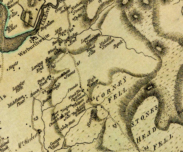
D4SD19SW.jpg
"Loning End"
block or blocks, labelled in lowercase; a hamlet or just a house
item:- Carlisle Library : Map 2
Image © Carlisle Library |
|
|
| evidence:- |
old map:- Ford 1839 map
placename:- Lane End
|
| source data:- |
Map, uncoloured engraving, Map of the Lake District of
Cumberland, Westmoreland and Lancashire, scale about 3.5 miles
to 1 inch, published by Charles Thurnam, Carlisle, and by R
Groombridge, 5 Paternoster Row, London, 3rd edn 1843.
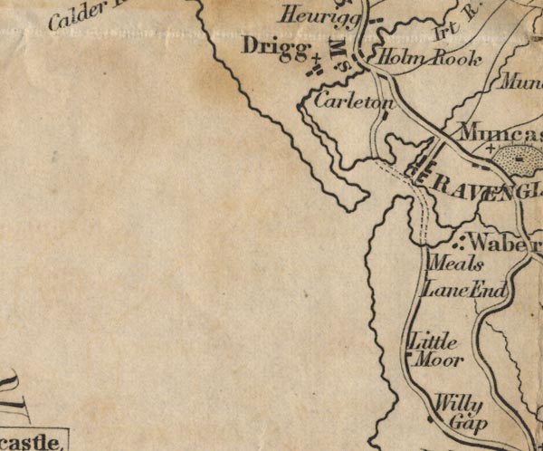
FD02SD09.jpg
"Lane End"
item:- JandMN : 100.1
Image © see bottom of page
|
|
|
| places:- |
 |
SD10449352 post box, Waberthwaite (Waberthwaite) |
|
|
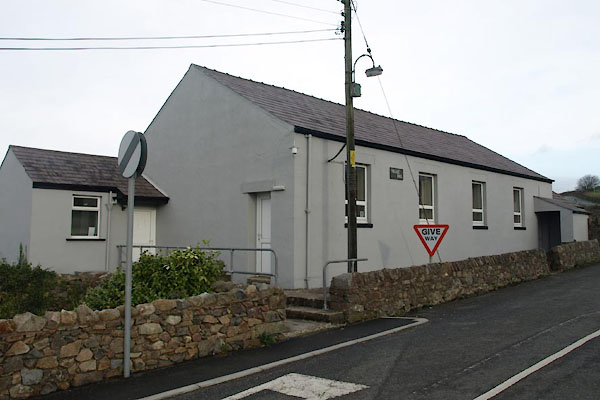 |
SD10569340 Village Hall (Waberthwaite) |
|
|
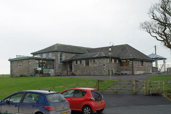 |
SD10489331 Waberthwaite CofE Primary School (Waberthwaite) |
|
|
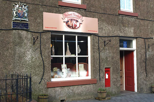 |
SD10439352 Woodall's Cumberland Sausages (Waberthwaite) |
|
|
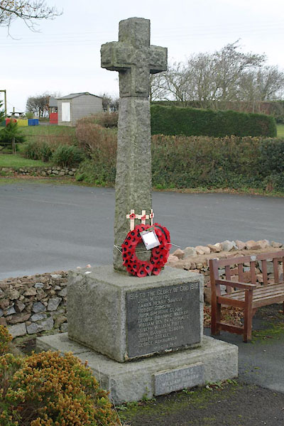 |
SD10539334 war memorial, Waberthwaite (Waberthwaite) |
|


