 |
 |
|
|
|
|
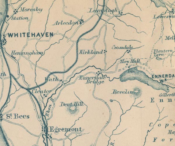
Kirkland |
| civil parish:- |
Lamplugh (formerly Cumberland) |
| county:- |
Cumbria |
| locality type:- |
locality |
| locality type:- |
buildings |
| coordinates:- |
NY07211796 (etc) |
| 1Km square:- |
NY0717 |
| 10Km square:- |
NY01 |
|
|
|
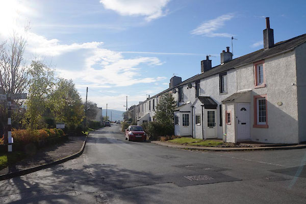
CEE25.jpg (taken 27.10.2015)
|
|
|
| evidence:- |
old map:- OS County Series (Cmd 68 2)
placename:- Kirkland
|
| source data:- |
Maps, County Series maps of Great Britain, scales 6 and 25
inches to 1 mile, published by the Ordnance Survey, Southampton,
Hampshire, from about 1863 to 1948.
|
|
|
| evidence:- |
old map:- Ogilby 1675 (plate 96)
|
| source data:- |
Road strip map, hand coloured engraving, the Road from Kendal to
Cockermouth, and the Road from Egremond to Carlisle, scale about
1 inch to 1 mile, by John Ogilby, London, 1675.
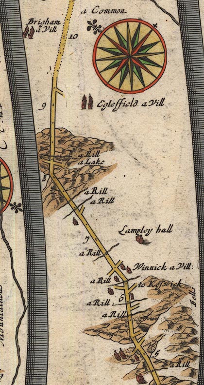
OG96Bm05.jpg
In mile 5, Cumberland.
Houses on the left of the road.
item:- JandMN : 22
Image © see bottom of page
|
|
|
| evidence:- |
old map:- Donald 1774 (Cmd)
placename:- Kirkland
|
| source data:- |
Map, hand coloured engraving, 3x2 sheets, The County of Cumberland, scale about 1
inch to 1 mile, by Thomas Donald, engraved and published by Joseph Hodskinson, 29
Arundel Street, Strand, London, 1774.
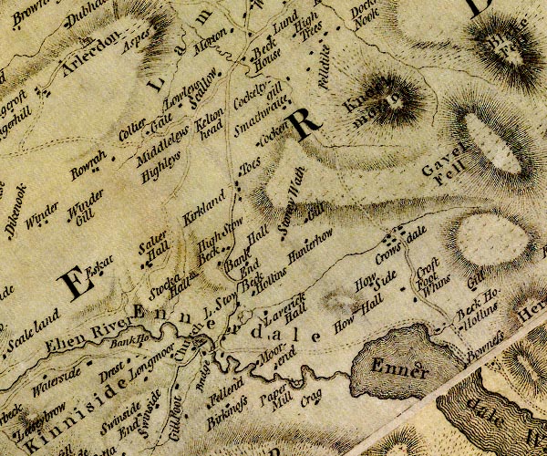
D4NY01NE.jpg
"Kirkland"
block or blocks, labelled in lowercase; a hamlet or just a house
item:- Carlisle Library : Map 2
Image © Carlisle Library |
|
|
| evidence:- |
old map:- Otley 1818
placename:- Kirkland
|
| source data:- |
Map, uncoloured engraving, The District of the Lakes,
Cumberland, Westmorland, and Lancashire, scale about 4 miles to
1 inch, by Jonathan Otley, 1818, engraved by J and G Menzies,
Edinburgh, Scotland, published by Jonathan Otley, Keswick,
Cumberland, et al, 1833.
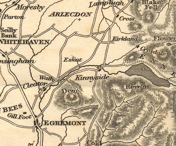
OT02NY01.jpg
item:- JandMN : 48.1
Image © see bottom of page
|
|
|
| evidence:- |
old map:- Garnett 1850s-60s H
placename:- Kirkland
|
| source data:- |
Map of the English Lakes, in Cumberland, Westmorland and
Lancashire, scale about 3.5 miles to 1 inch, published by John
Garnett, Windermere, Westmorland, 1850s-60s.
GAR2NY01.jpg
"Kirkland"
blocks, settlement
item:- JandMN : 82.1
Image © see bottom of page
|
|
|
| places:- |
 |
SD51399195 Anchorite Mill (Kendal) |
|
|
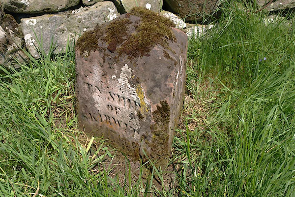 |
NY64443256 boundary stone, Culgaith (2) (Culgaith) L |
|
|
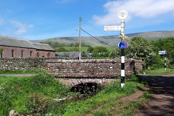 |
NY64583248 bridge, Kirkland (Culgaith) |
|
|
|
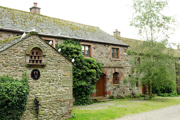
NY07351792 Carr Cottage (Lamplugh) |
|
|
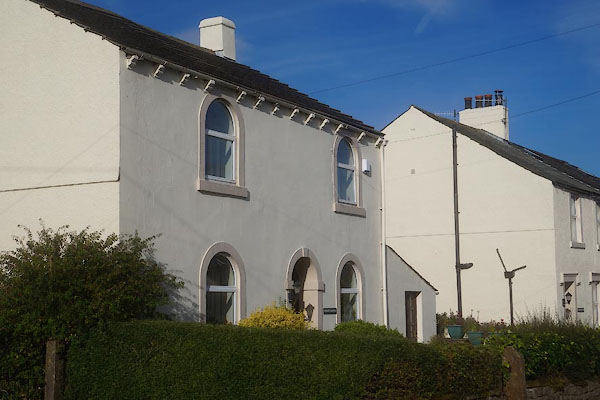 |
NY07201791 Chapel House (Lamplugh) |
|
|
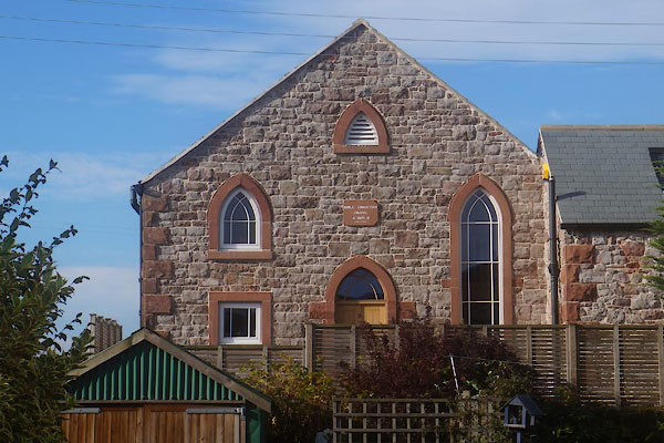 |
NY07171790 Bible Christian Chapel (Lamplugh) |
|
|
 |
NY66263462 corpse road, Kirkland (Culgaith) |
|
|
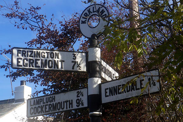 |
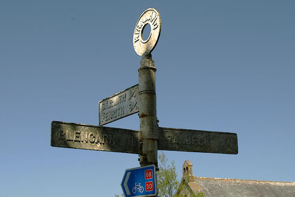
NY07221802 fingerpost, Kirkland (2) (Lamplugh) |
|
|
|
NY64233258 Flosh (Culgaith) |
|
|
 |
NY65203217 Hanging Walls of Mark Anthony (Culgaith) |
|
|
|
NY27804860 Hazel Head (Woodside) |
|
|
|
NY27374826 Kirkland Cottage (Woodside) |
|
|
|
NY0718 Kirkland Goods Sidings (Lamplugh) |
|
|
 |
NY65063256 Kirkland Hall Cottages (Culgaith) |
|
|
|
NY27564841 Kirkland Hall (Woodside) L |
|
|
|
NY27274844 Kirkland House (Woodside) |
|
|
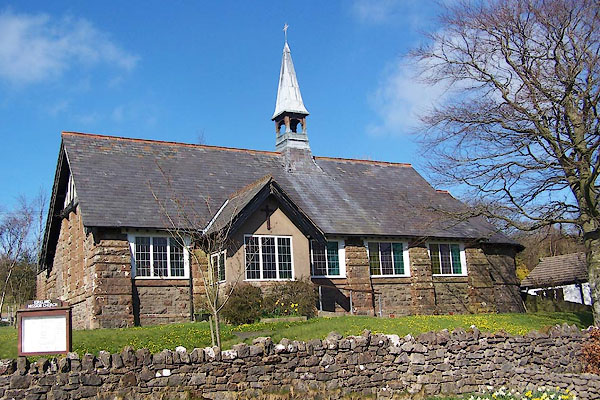 |
NY07281805 Kirkland Mission Church (Lamplugh) |
|
|
|
NY27594836 Kirkland Villa (Woodside) L |
|
|
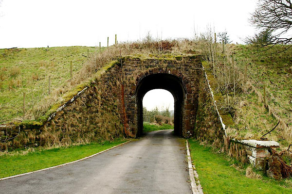 |
NY07381808 railway bridge, Kirkland (Lamplugh) |
|
|
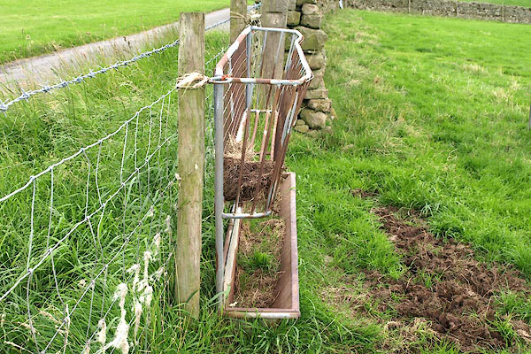 |
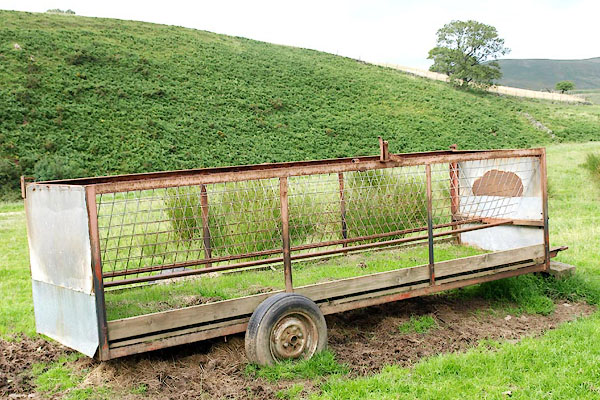
NY65083234 sheep feeder, Kirkland (Culgaith) |
|
|
 |
NY65363273 sheep feeder, Kirkland (2) (Culgaith) |
|
|
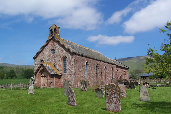 |
NY64603253 St Lawrence's Church (Culgaith) L |
|
|
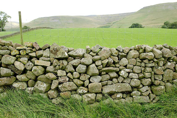 |
NY65263249 stone wall, Kirkland (Culgaith) |
|
|
|
NY07411813 Teathes (Lamplugh) |
|
|
 |
NY64583246 fingerpost, Kirkland (Culgaith) |
|
