 Old Cumbria Gazetteer
 |
 |
|
| Kirkbride Station, Kirkbride | ||
| Kirkbride Station | ||
| Old Station House | ||
| site name:- | Carlisle and Silloth Bay Railway | |
| site name:- | Solway Junction Railway | |
| locality:- | Kirkbride | |
| civil parish:- | Kirkbride (formerly Cumberland) | |
| county:- | Cumbria | |
| locality type:- | railway station | |
| coordinates:- | NY22935672 | |
| 1Km square:- | NY2256 | |
| 10Km square:- | NY25 | |
| SummaryText:- | Opened 1856; closed 1964. | |
|
|
||
| evidence:- | old map:- OS County Series (Cmd 21 4) |
|
| source data:- | Maps, County Series maps of Great Britain, scales 6 and 25
inches to 1 mile, published by the Ordnance Survey, Southampton,
Hampshire, from about 1863 to 1948.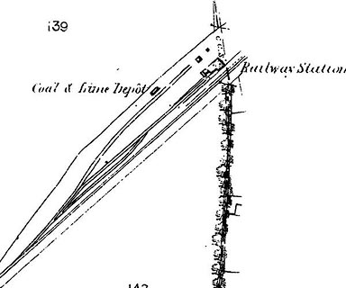 click to enlarge click to enlargeCSRY0022.jpg "Railway Station / Coal & Lime Depot" |
|
|
|
||
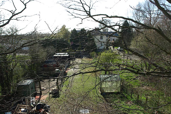 BUI29.jpg All you can see from the railway bridge. (taken 3.4.2011) |
||
|
|
||
 Lakes Guides menu.