 Old Cumbria Gazetteer
 |
 |
|
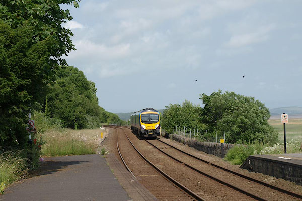
| Kents Bank Station, Kents Bank | ||
| Kents Bank Station | ||
| site name:- | Ulverstone and Lancaster Railway | |
| locality:- | Kents Bank | |
| civil parish:- | Grange-over-Sands (formerly Lancashire) | |
| county:- | Cumbria | |
| locality type:- | railway station | |
| coordinates:- | SD39717562 | |
| 1Km square:- | SD3975 | |
| 10Km square:- | SD37 | |
| SummaryText:- | Opened 1857. | |
|
|
||
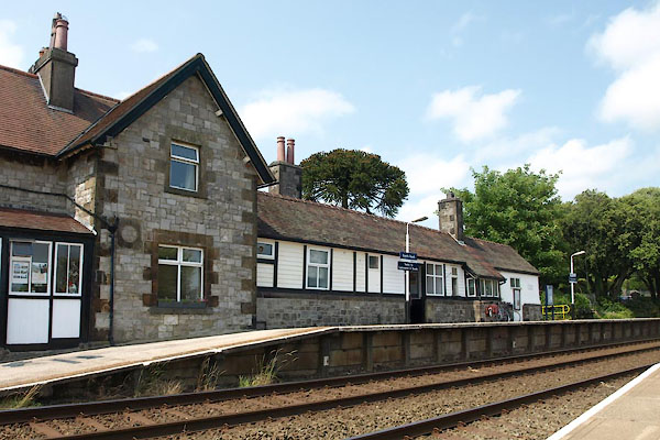 BYS37.jpg (taken 5.7.2013) 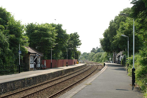 BYS36.jpg (taken 5.7.2013) |
||
|
|
||
| evidence:- | old map:- OS County Series (Lan 17 12) placename:- Kents Bank Station item:- railway signal |
|
| source data:- | Maps, County Series maps of Great Britain, scales 6 and 25
inches to 1 mile, published by the Ordnance Survey, Southampton,
Hampshire, from about 1863 to 1948.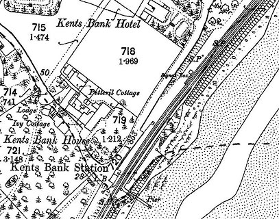 click to enlarge click to enlargeCSRY0162.jpg "Kents Bank Station / Signal Box / S.P." |
|
|
|
||
| evidence:- | probably old map:- Postlethwaite 1877 (3rd edn 1913) |
|
| source data:- | Map, uncoloured engraving, Map of the Lake District Mining Field, Westmorland, Cumberland,
Lancashire, scale about 5 miles to 1 inch, by John Postlethwaite, published by W H
Moss and Sons, 13 Lowther Street, Whitehaven, Cumberland, 1877 edn 1913.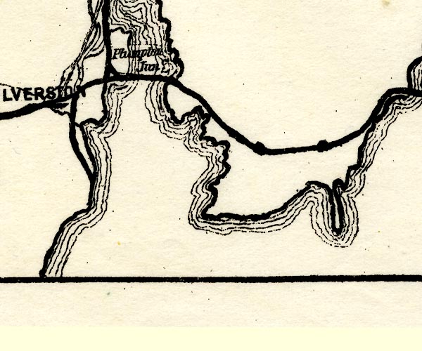 PST2SD37.jpg station on railway item:- JandMN : 162.2 Image © see bottom of page |
|
|
|
||
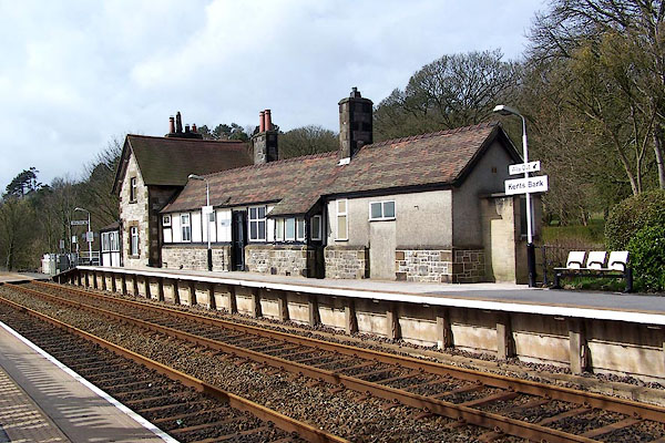 BLU07.jpg (taken 7.4.2006) 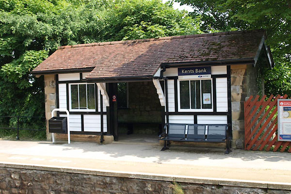 BYS35.jpg (taken 5.7.2013) 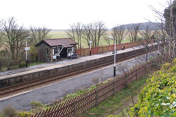 BLU08.jpg (taken 7.4.2006) 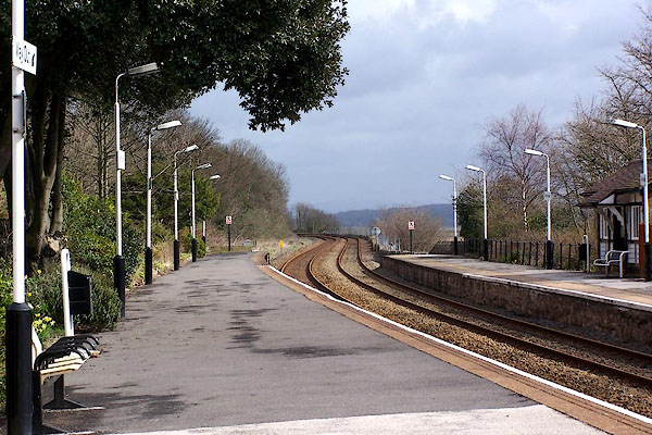 BLU11.jpg (taken 7.4.2006) |
||
|
|
||
 BYS38.jpg view E. (taken 5.7.2013) 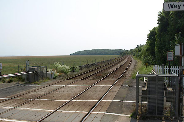 BYS39.jpg view W. (taken 5.7.2013) |
||
|
|
||
| hearsay:- |
In this area a combination of wet weather, winds, and high tides tore holes in the
stone pitching that protect the railway line, October 1954; 20 feet wide and 10 feet
deep. |
|
|
|
||
| Paley and Austin series | ||
| person:- | architect : Paley, Edward G |
|
| person:- | architect : Austin, Hubert J |
|
| date:- | 1865 |
|
| New building. |
||
|
|
||
 Lakes Guides menu.