 Old Cumbria Gazetteer
 |
 |
|
| Little Isle, Rydal Water | ||
| site name:- | Rydal Water | |
| civil parish:- | Lakes (formerly Westmorland) | |
| county:- | Cumbria | |
| locality type:- | island (small) | |
| coordinates:- | NY35870601 | |
| 1Km square:- | NY3506 | |
| 10Km square:- | NY30 | |
|
|
||
| evidence:- | old map:- Clarke 1787 map (Ambleside to Keswick) |
|
| source data:- | Map, A Map of the Roads Lakes etc between Keswick and Ambleside,
scale about 2.5 ins to 1 mile, by James Clarke, engraved by S J
Neele, 352 Strand, published by James Clarke, Penrith,
Cumberland and in London etc, 1787.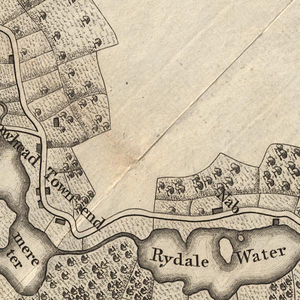 CL9NY30N.jpg In Rydal Water. item:- private collection : 10.9 Image © see bottom of page |
|
|
|
||
| evidence:- | old photograph:- Bell 1880s-1940s |
|
| source data:- | Photograph, b/w, Rydal Water, Rydal, Westmorland, by Herbert Bell, Ambleside, Westmorland,
1890s?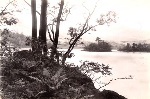 click to enlarge click to enlargeHB0267.jpg item:- Armitt Library : ALPS621 Image © see bottom of page |
|
|
|
||
 Lakes Guides menu.