 |
 |
|
|
|
|
How |
| civil parish:- |
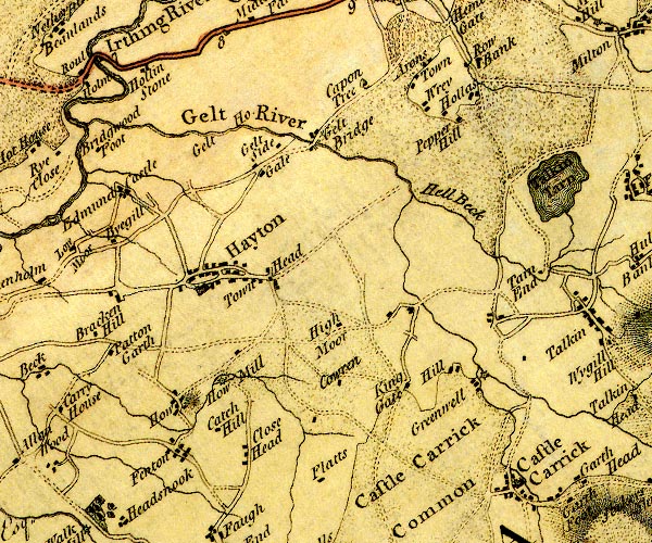
Hayton (formerly Cumberland) |
| county:- |
Cumbria |
| locality type:- |
locality |
| locality type:- |
buildings |
| coordinates:- |
NY50665640 (etc) |
| 1Km square:- |
NY5056 |
| 10Km square:- |
NY55 |
|
|
| evidence:- |
old map:- OS County Series (Cmd 24 4)
placename:- How
|
| source data:- |
Maps, County Series maps of Great Britain, scales 6 and 25
inches to 1 mile, published by the Ordnance Survey, Southampton,
Hampshire, from about 1863 to 1948.
|
|
|
| evidence:- |
old map:- Donald 1774 (Cmd)
placename:- How
|
| source data:- |
Map, hand coloured engraving, 3x2 sheets, The County of Cumberland, scale about 1
inch to 1 mile, by Thomas Donald, engraved and published by Joseph Hodskinson, 29
Arundel Street, Strand, London, 1774.
D4NY55NW.jpg
"How"
block or blocks, labelled in lowercase; a hamlet or just a house
item:- Carlisle Library : Map 2
Image © Carlisle Library |
|
|
| places:- |
 |
NY24682436 How Farm (Above Derwent) |
|
|
|
NY2424 How Hill (Above Derwent) |
|
|
|
NY50655632 How Hill (Hayton) |
|
|
|
NY50285667 How lane (Hayton) |
|
|
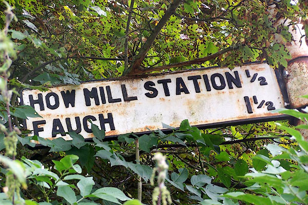 |
NY50995654 How Mill Station (Hayton) gone |
|
|
|
NY51005651 How Mill (Hayton) |
|
|
 |
NY34350678 How Top (Lakes) L |
|
|
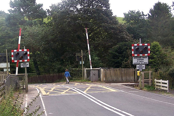 |
NY51035658 level crossing, How (Hayton) |
|
|
|
NY50745626 railway milepost, How (Hayton) |
|
|
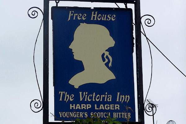 |
NY50965655 Victoria Inn, The (Hayton) |
|
|
|
NY51375617 Watch Hill (Hayton) |
|
