button to main menu  Old Cumbria Gazetteer
Hilton, Murton
Hilton
Hilton Bacon
civil parish:-   Murton (formerly Westmorland)
county:-   Cumbria
locality type:-   locality
locality type:-   buildings
coordinates:-   NY73372067 (etc) 
1Km square:-   NY7320
10Km square:-   NY72


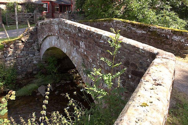
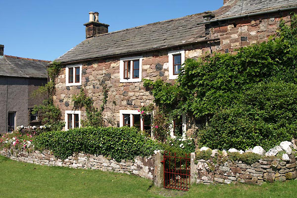
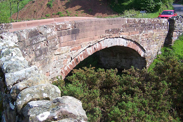
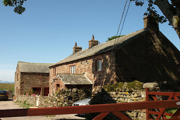
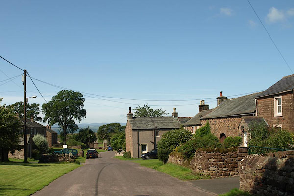
photograph
BVA47.jpg (taken 24.7.2011)  

evidence:-   old map:- OS County Series (Wmd 10 13) 
placename:-  Hilton
source data:-   Maps, County Series maps of Great Britain, scales 6 and 25 inches to 1 mile, published by the Ordnance Survey, Southampton, Hampshire, from about 1863 to 1948.

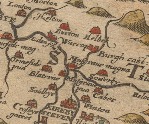
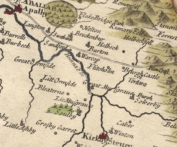
evidence:-   old map:- Saxton 1579
placename:-  Helton
source data:-   Map, hand coloured engraving, Westmorlandiae et Cumberlandiae Comitatus ie Westmorland and Cumberland, scale about 5 miles to 1 inch, by Christopher Saxton, London, engraved by Augustinus Ryther, 1576, published 1579-1645.
image
Sax9NY71.jpg
Building, symbol for a hamlet, which may or may not have a nucleus.  "Helton"
item:-  private collection : 2
Image © see bottom of page

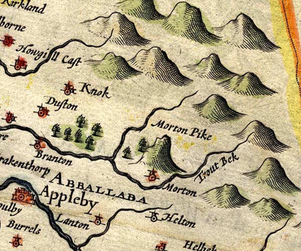
evidence:-   old map:- Speed 1611 (Wmd) 
placename:-  Helton
source data:-   Map, hand coloured engraving, The Countie Westmorland and Kendale the Cheif Towne, scale about 2.5 miles to 1 inch, by John Speed, 1610, published by George Humble, Popes Head Alley, London, 1611-12.
image
SP14NY72.jpg
"Helton"
circle, tower 
item:-  Armitt Library : 2008.14.5
Image © see bottom of page

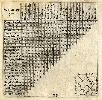
evidence:-   table of distances:- Simons 1635
placename:-  Helton
source data:-   Table of distances, uncoloured engraving, Westmerland ie Westmorland, with a thumbnail map, scale about 42 miles to 1 inch, by Mathew Simons, published in A Direction for the English Traviller, 1635.
image  click to enlarge
SIM3.jpg
"Helton N"
and tabulated distances; H on thumbnail map 
item:-  private collection : 50.39
Image © see bottom of page

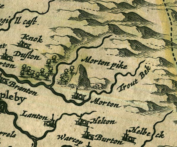
evidence:-   old map:- Jansson 1646
placename:-  Helton
source data:-   Map, hand coloured engraving, Cumbria and Westmoria, ie Cumberland and Westmorland, scale about 3.5 miles to 1 inch, by John Jansson, Amsterdam, Netherlands, 1646.
image
JAN3NY72.jpg
"Helton"
Buildings and tower. 
item:-  JandMN : 88
Image © see bottom of page

evidence:-   probably hearth tax returns:- Hearth Tax 1675
placename:-  Hilton Bacon
source data:-   Records, hearth tax survey returns, Westmorland, 1674/75.
"Hilton Bacon"

evidence:-   hearth tax returns:- Hearth Tax 1670
placename:-  Hilton
source data:-   Records, hearth tax returns, exchequer duplicates, Westmorland, 1670.
"Hilton"

evidence:-   old map:- Morden 1695 (Wmd) 
source data:-   Map, hand coloured engraving, Westmorland, scale about 2.5 miles to 1 inch, by Robert Morden, published by Abel Swale, the Unicorn, St Paul's Churchyard, Awnsham, and John Churchill, the Black Swan, Paternoster Row, London, 1695.
image
MD10NY71.jpg
"Helton"
Circle. 
item:-  JandMN : 24
Image © see bottom of page

evidence:-   old map:- Jefferys 1770 (Wmd) 
placename:-  Helton
source data:-   Map, 4 sheets, The County of Westmoreland, scale 1 inch to 1 mile, surveyed 1768, and engraved and published by Thomas Jefferys, London, 1770.
image
J5NY72SW.jpg
"Helton"
blocks, labelled in upright lowercase text; settlement; town? 
item:-  National Library of Scotland : EME.s.47
Image © National Library of Scotland

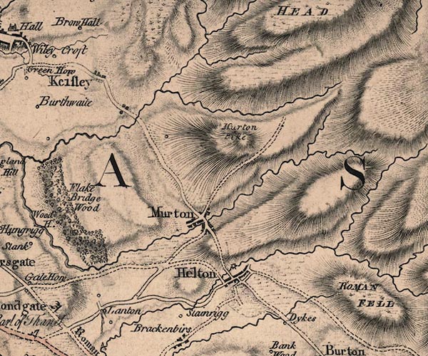
evidence:-   old map:- Cary 1789 (edn 1805) 
placename:-  Helton
source data:-   Map, uncoloured engraving, Westmoreland, scale about 2.5 miles to 1 inch, by John Cary, London, 1789; edition 1805.
image
CY24NY72.jpg
"Helton"
block/s, labelled in italic lowercase; house, or hamlet 
item:-  JandMN : 129
Image © see bottom of page

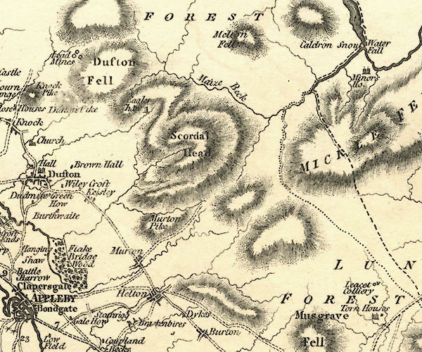
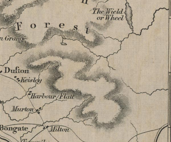
evidence:-   old map:- Ford 1839 map
placename:-  Milton
source data:-   Map, uncoloured engraving, Map of the Lake District of Cumberland, Westmoreland and Lancashire, scale about 3.5 miles to 1 inch, published by Charles Thurnam, Carlisle, and by R Groombridge, 5 Paternoster Row, London, 3rd edn 1843.
image
FD02NY72.jpg
"Milton"
item:-  JandMN : 100.1
Image © see bottom of page

evidence:-   old map:- Post Office 1850s-1900s
placename:-  Hilton
source data:-   Post road maps, General Post Office Circulation Map for England and Wales, for the General Post Office, London, 1850s-1900s.
image  click to enlarge
POF7Cm.jpg
"Hilton"
map date 1909 

:-  
images courtesy of the British Postal Museum and Hampshire CC Museums

places:-  
NY73322083 bridge, Hilton (Murton) L
NY73502052 Cross Keys (Murton)
NY73412070 Helm House (Murton)
NY732207 Hilton Beacon (Murton) gone
NY73172078 Hilton Bridge (Murton)
NY73232062 Hilton Hall (Murton) L
NY73332085 Hilton Mill (Murton)
NY7428 Hilton Sike (Murton)
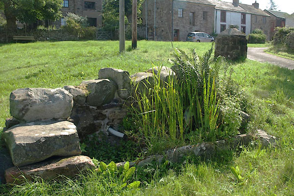
NY7320 Hilton water supply (Murton)
NY73522069 Castle Street (Murton)
NY73352069 Kings Arms (Murton)
NY733206 King's Arms (Murton) gone
NY73282054 Leagarth Lane (Murton)
NY73342074 Mill Lane (Murton)
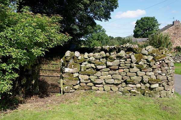
NY73242063 pinfold, Hilton (Murton)
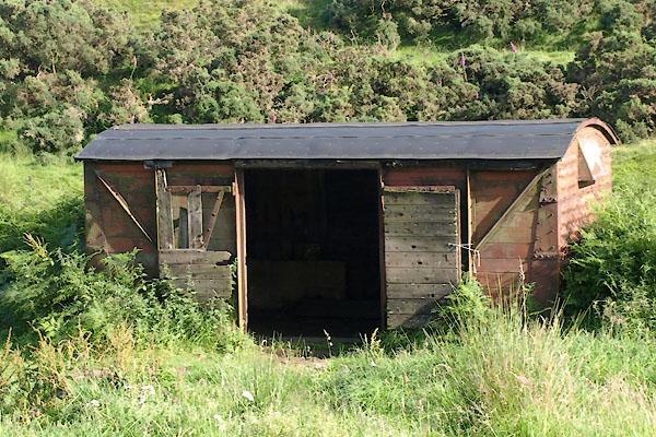
NY72892054 shed, Hilton (Murton)
NY73632087 smelt mill, Hilton (Murton)
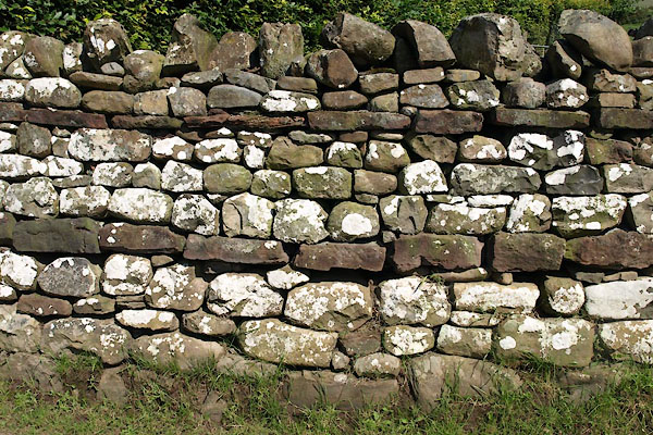
NY73312084 stone wall, Hilton (Murton)
NY72762030 Thornless Hill (Murton)
NY72872051 Thornless Quarry (Murton)
NY73382123 Thwaites Pasture (Murton)
NY73502074 Town Head (Murton)
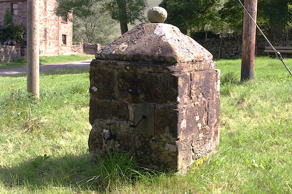
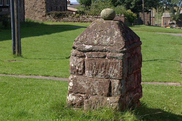
NY73492071 pump, Hilton (2) (Murton) L
NY73472071 water trough, Hilton (Murton)
NY73392067 pump, Hilton (Murton) L
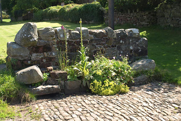
NY73362068 water trough, Hilton (3) (Murton)
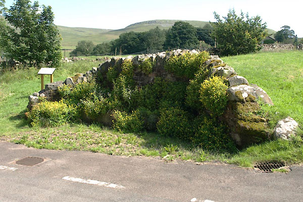
NY73242063 water trough, Hilton (2) (Murton)
button to lakes menu  Lakes Guides menu.