 Old Cumbria Gazetteer
 |
 |
|
| High Tilberthwaite, Tilberthwaite | ||
| High Tilberthwaite | ||
| locality:- | Tilberthwaite | |
| civil parish:- | Coniston (formerly Lancashire) | |
| county:- | Cumbria | |
| locality type:- | buildings | |
| coordinates:- | NY30820140 | |
| 1Km square:- | NY3001 | |
| 10Km square:- | NY30 | |
|
|
||
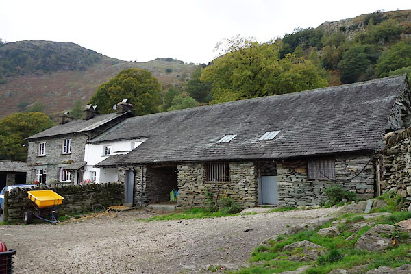 BZN63.jpg (taken 15.10.2013) 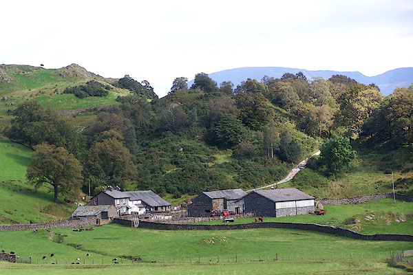 BOB75.jpg (taken 3.9.2007) |
||
|
|
||
| evidence:- | old map:- OS County Series (Lan 1 12) placename:- High Tilberthwaite placename:- Tilberthwaite, High |
|
| source data:- | Maps, County Series maps of Great Britain, scales 6 and 25
inches to 1 mile, published by the Ordnance Survey, Southampton,
Hampshire, from about 1863 to 1948. |
|
|
|
||
| evidence:- | database:- Listed Buildings 2010 placename:- High Tilberthwaite Farm |
|
| source data:- | courtesy of English Heritage "HIGH TILBERTHWAITE FARMHOUSE AND OUTBUILDING / / / CONISTON / SOUTH LAKELAND / CUMBRIA / II / 76763 / NY3081201404" |
|
|
|
||
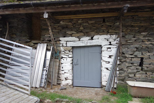 BZN64.jpg Barn, door. (taken 15.10.2013) 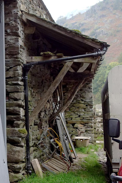 BZN65.jpg Barn, pentice. (taken 15.10.2013) 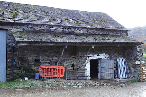 CBZ98.jpg Barn, pentice. (taken 29.10.2014) |
||
|
|
||
 Lakes Guides menu.