 Old Cumbria Gazetteer
 |
 |
|
| High Close, Hayton | ||
| High Close | ||
| civil parish:- | Hayton (formerly Cumberland) | |
| county:- | Cumbria | |
| locality type:- | buildings | |
| coordinates:- | NY55845726 | |
| 1Km square:- | NY5557 | |
| 10Km square:- | NY55 | |
|
|
||
| evidence:- | possibly descriptive text:- Simpson 1746 placename:- High Close |
|
| source data:- | Atlas, three volumes of maps and descriptive text published as
'The Agreeable Historian, or the Compleat English Traveller
...', by Samuel Simpson, 1746. goto source goto source"... High Close, Sir Wilfrid Lawson's. ..." |
|
|
|
||
| evidence:- | old map:- Donald 1774 (Cmd) placename:- High Close placename:- Close, High |
|
| source data:- | Map, hand coloured engraving, 3x2 sheets, The County of Cumberland, scale about 1
inch to 1 mile, by Thomas Donald, engraved and published by Joseph Hodskinson, 29
Arundel Street, Strand, London, 1774.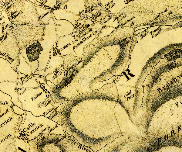 D4NY55NE.jpg "High Close" block or blocks, labelled in lowercase; a hamlet or just a house item:- Carlisle Library : Map 2 Image © Carlisle Library |
|
|
|
||
Lakes Guides menu.