button to main menu  Old Cumbria Gazetteer
Hayton
civil parish:-   Hayton (formerly Cumberland)
county:-   Cumbria
locality type:-   locality
locality type:-   buildings
coordinates:-   NY50765773 (etc) 
1Km square:-   NY5057
10Km square:-   NY55


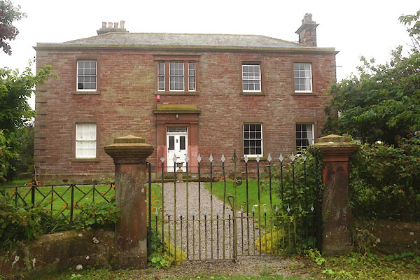
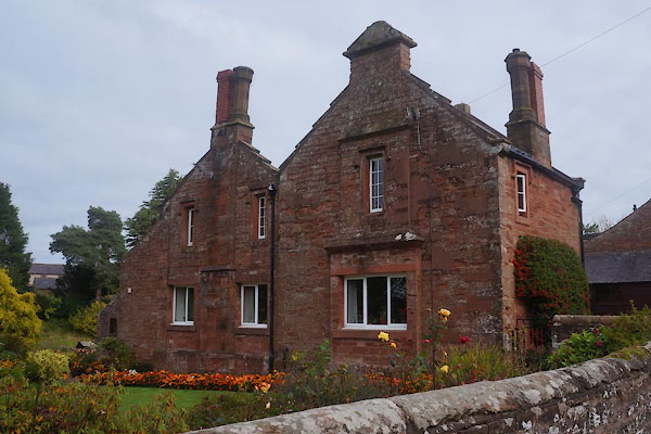
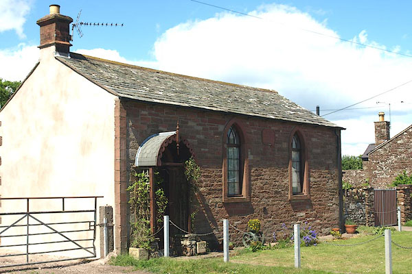
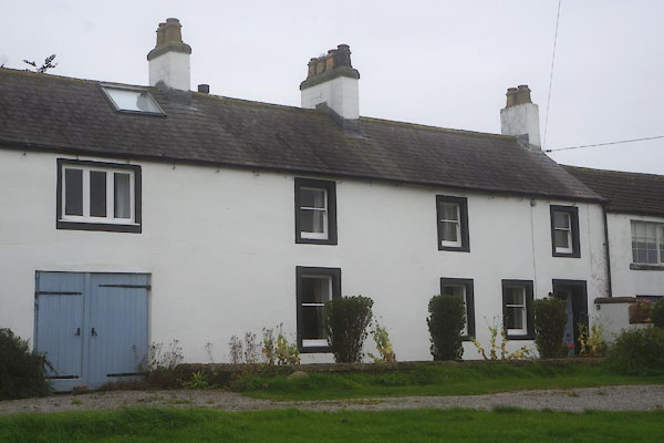
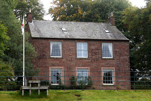
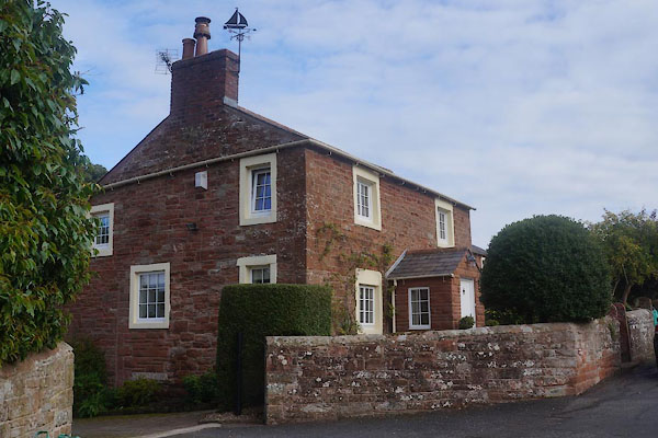
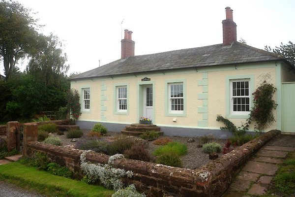
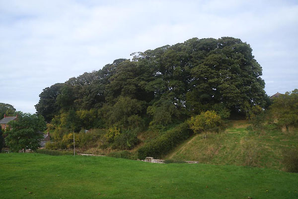
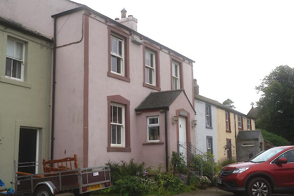
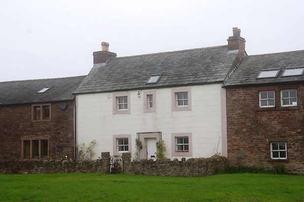
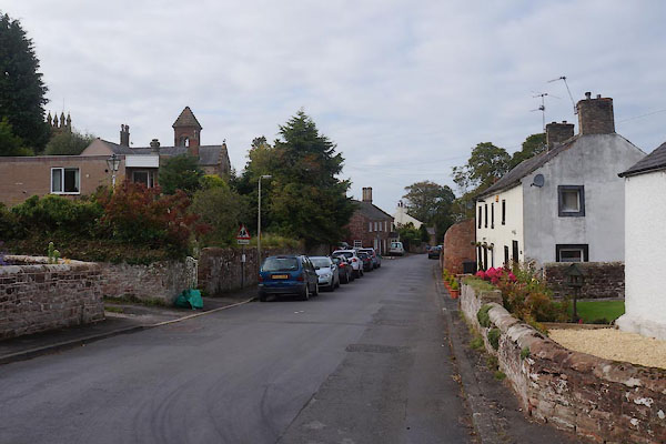
photograph
CEA83.jpg (taken 9.10.2015)  

evidence:-   old map:- OS County Series (Cmd 17 16) 
placename:-  Hayton
source data:-   Maps, County Series maps of Great Britain, scales 6 and 25 inches to 1 mile, published by the Ordnance Survey, Southampton, Hampshire, from about 1863 to 1948.

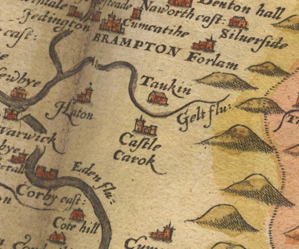
evidence:-   old map:- Saxton 1579
placename:-  Haton
source data:-   Map, hand coloured engraving, Westmorlandiae et Cumberlandiae Comitatus ie Westmorland and Cumberland, scale about 5 miles to 1 inch, by Christopher Saxton, London, engraved by Augustinus Ryther, 1576, published 1579-1645.
image
Sax9NY55.jpg
Church, symbol for a parish or village, with a parish church.  "Haton"
item:-  private collection : 2
Image © see bottom of page

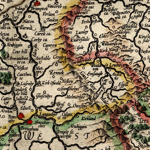
evidence:-   old map:- Mercator 1595 (edn?) 
placename:-  Haton
source data:-   Map, hand coloured engraving, Northumbria, Cumberlandia, et Dunelmensis Episcopatus, ie Northumberland, Cumberland and Durham etc, scale about 6.5 miles to 1 inch, by Gerard Mercator, Duisberg, Germany, about 1595.
image
MER8CumD.jpg
"Haton"
circle 
item:-  JandMN : 169
Image © see bottom of page

evidence:-   old map:- Keer 1605
placename:-  Haton
source data:-   Map, hand coloured engraving, Westmorland and Cumberland, scale about 16 miles to 1 inch, probably by Pieter van den Keere, or Peter Keer, about 1605 edition perhaps 1676.
image  click to enlarge
KER8.jpg
"Haton"
dot, circle and tower; village 
item:-  Dove Cottage : 2007.38.110
Image © see bottom of page

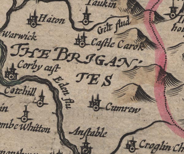
evidence:-   old map:- Speed 1611 (Cmd) 
placename:-  Haiton
source data:-   Map, hand coloured engraving, Cumberland and the Ancient Citie Carlile Described, scale about 4 miles to 1 inch, by John Speed, 1610, published by J Sudbury and George Humble, Popes Head Alley, London, 1611-12.
image
SP11NY55.jpg
"Haiton"
circle, building, tower 
item:-  private collection : 16
Image © see bottom of page

evidence:-   possibly old map:- Jenner 1643
placename:-  Hutton
source data:-   Tables of distances with a maps, Westmerland, scale about 16 miles to 1 inch, and Cumberland, scale about 21 miles to 1 inch, published by Thomas Jenner, London, 1643; published 1643-80.
image
JEN4Sq.jpg
"Hutton"
circle 

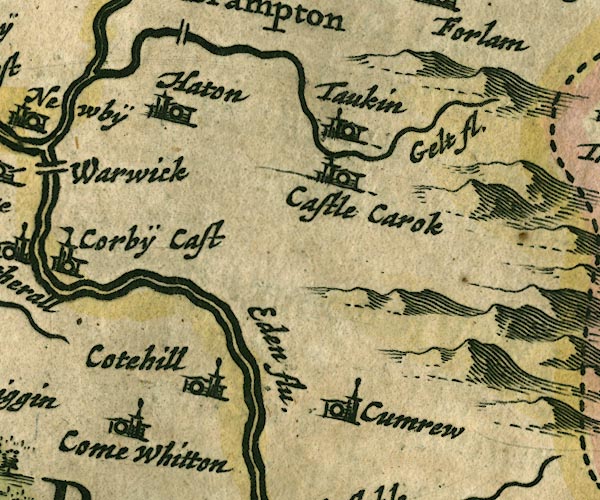
evidence:-   old map:- Jansson 1646
placename:-  Haton
source data:-   Map, hand coloured engraving, Cumbria and Westmoria, ie Cumberland and Westmorland, scale about 3.5 miles to 1 inch, by John Jansson, Amsterdam, Netherlands, 1646.
image
JAN3NY55.jpg
"Haton"
Buildings and tower. 
item:-  JandMN : 88
Image © see bottom of page

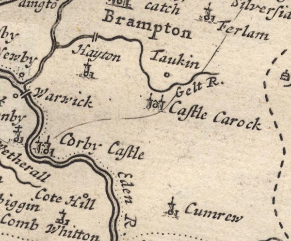
evidence:-   old map:- Morden 1695 (Cmd) 
placename:-  Hayton
source data:-   Map, uncoloured engraving, Cumberland, scale about 4 miles to 1 inch, by Robert Morden, 1695, published by Abel Swale, the Unicorn, St Paul's Churchyard, Awnsham, and John Churchill, the Black Swan, Paternoster Row, London, 1695-1715.
image
MD12NY55.jpg
"Hayton"
Circle, building and tower. 
item:-  JandMN : 90
Image © see bottom of page

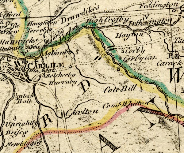
evidence:-   old map:- Bowen and Kitchin 1760
placename:-  Hayton
source data:-   Map, hand coloured engraving, A New Map of the Counties of Cumberland and Westmoreland Divided into their Respective Wards, scale about 4 miles to 1 inch, by Emanuel Bowen and Thomas Kitchin et al, published by T Bowles, Robert Sayer, and John Bowles, London, 1760.
image
BO18NY45.jpg
"Hayton"
circle, tower 
item:-  Armitt Library : 2008.14.10
Image © see bottom of page

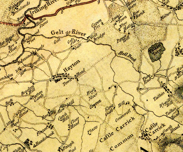
evidence:-   old map:- Donald 1774 (Cmd) 
placename:-  Hayton
source data:-   Map, hand coloured engraving, 3x2 sheets, The County of Cumberland, scale about 1 inch to 1 mile, by Thomas Donald, engraved and published by Joseph Hodskinson, 29 Arundel Street, Strand, London, 1774.
image
D4NY55NW.jpg
"Hayton"
blocks, and usually a church, labelled in upright lowercase; a village 
item:-  Carlisle Library : Map 2
Image © Carlisle Library

evidence:-   old map:- Cooper 1808
placename:-  Hayton
source data:-   Map, uncoloured engraving, Cumberland, scale about 10.5 miles to 1 inch, drawn and engraved by Cooper, published by R Phillips, Bridge Street, Blackfriars, London, 1808.
image  click to enlarge
COP3.jpg
"Hayton"
circle; village or hamlet 
item:-  JandMN : 86
Image © see bottom of page

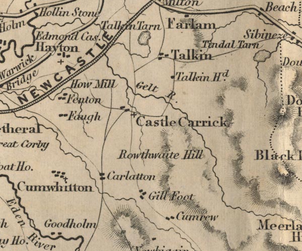
evidence:-   old map:- Ford 1839 map
placename:-  Hayton
source data:-   Map, uncoloured engraving, Map of the Lake District of Cumberland, Westmoreland and Lancashire, scale about 3.5 miles to 1 inch, published by Charles Thurnam, Carlisle, and by R Groombridge, 5 Paternoster Row, London, 3rd edn 1843.
image
FD02NY55.jpg
"Hayton"
item:-  JandMN : 100.1
Image © see bottom of page

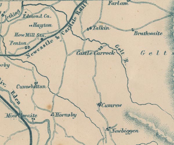
evidence:-   old map:- Garnett 1850s-60s H
placename:-  Hayton
source data:-   Map of the English Lakes, in Cumberland, Westmorland and Lancashire, scale about 3.5 miles to 1 inch, published by John Garnett, Windermere, Westmorland, 1850s-60s.
image
GAR2NY55.jpg
"Hayton"
blocks, settlement 
item:-  JandMN : 82.1
Image © see bottom of page

evidence:-   market notes:- 
placename:-  Hayton
item:-  market
source data:-   www.history.ac.uk/cmh/gaz/gazweb2.htmPalmer's Index No.93:: Public Record Office

evidence:-   old map:- Post Office 1850s-1900s
placename:-  Hayton
source data:-   Post road maps, General Post Office Circulation Map for England and Wales, for the General Post Office, London, 1850s-1900s.
image  click to enlarge
POF7Cm.jpg
"Hayton"
map date 1909 

:-  
images courtesy of the British Postal Museum and Hampshire CC Museums

 sundial, Castle Hill

hearsay:-  
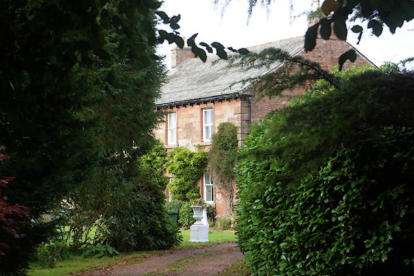
The house next the church is the Norman House. This was the 'Sunday House' of the Graham Family; all the family and servants spent Sundays here, so that they could attend church.
The village once got its water from three pumps; at Townhead, Martha's Well in the middle of the village, and at Townfoot.

places:-  
NY11224170 Beckbottom (Hayton and Mealo)
NY10704141 Blackburn House (Hayton and Mealo) L
NY50515813 Brier Lonning (Hayton)
NY50805776 Bunkers Hill (Hayton)
NY10494137 chapel, Hayton (Hayton and Mealo) L
NY10974174 chapel, Hayton Castle (Hayton and Mealo) gone
NY10674141 Dufton Cottage (Hayton and Mealo)
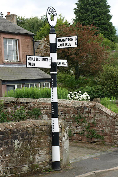
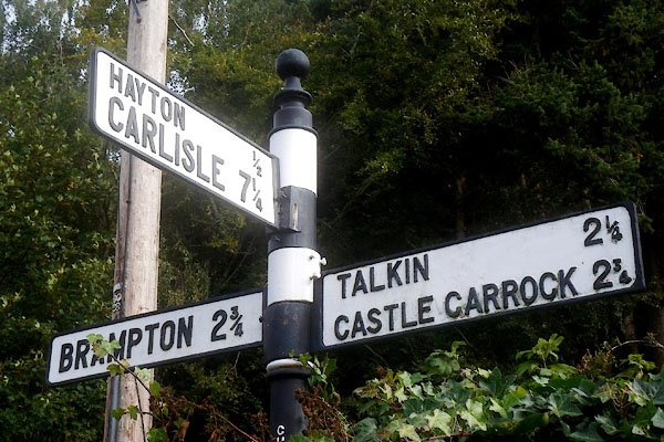
NY50865775 fingerpost, Hayton (2) (Hayton)
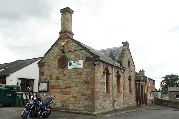
NY50745771 Hayton CofE Primary School (Hayton) L
NY10764152 Hayton House (Hayton and Mealo)
NY12024163 Hayton Tile Works (Hayton and Mealo)
NY50825759 Hayton Vicarage (Hayton) L
NY50705774 Hempgarth (Hayton)
NY10854149 Hope Cottage (Hayton and Mealo)
NY50945778 Hope Cottage (Hayton)
NY50685784 Castle Hill (Hayton)
NY50775784 Nook Farm (Hayton) L
NY50865786 Nook, The (Hayton)
NY50795771 Norman House (Hayton) L
NY10594139 Old Post Office (Hayton and Mealo) L
NY50815776 Old Store (Hayton)
NY10864147 Old Sun Inn (Hayton and Mealo)
NY50885782 Orchard Bank (Hayton)
NY11194166 Ryegarth Cottage (Hayton and Mealo)
NY10774145 school, Hayton (Hayton and Mealo) gone?
NY09964100 school, Hayton (2) (Hayton and Mealo)
NY10784143 St James's Church (Hayton and Mealo)
NY51285788 Stone House (Hayton)
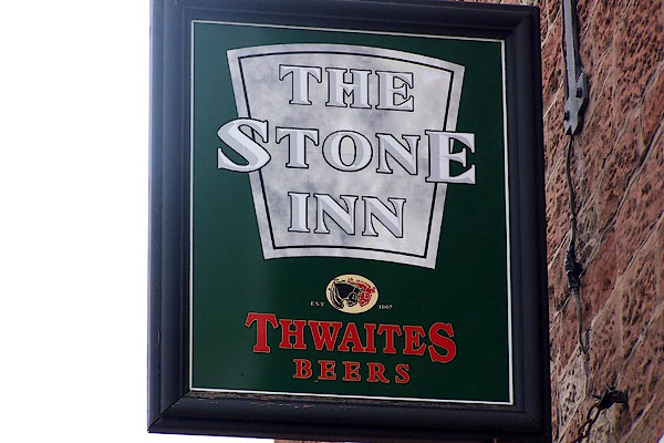
NY50715772 Stone Inn, The (Hayton) L
NY10534140 Town Head Farm (Hayton and Mealo)
NY50675771 Townfoot Farm (Hayton)
NY50805763 Vicarage (Hayton) L
NY50565799 village hall, Hayton (Hayton)
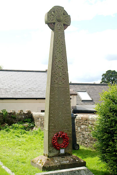
NY50755768 war memorial, Hayton (Hayton)
NY50595774 West Garth (Hayton)
NY10634140 White Swan (Hayton and Mealo)
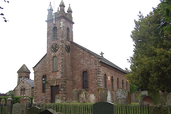
NY50775769 St Mary's Church (Hayton) L
NY11004175 Hayton Castle (Hayton and Mealo) L
NY51635776 fingerpost, Hayton (4) (Hayton)
button to lakes menu  Lakes Guides menu.