 Old Cumbria Gazetteer
 |
 |
|
| Haltcliff View, Caldbeck | ||
| Haltcliff View | ||
| civil parish:- | Caldbeck (formerly Cumberland) | |
| county:- | Cumbria | |
| locality type:- | buildings | |
| coordinates:- | NY35133585 | |
| 1Km square:- | NY3535 | |
| 10Km square:- | NY33 | |
|
|
||
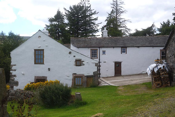 CDQ59.jpg (taken 12.8.2015) 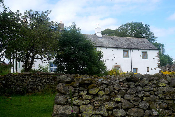 CDQ58.jpg (taken 12.8.2015) |
||
|
|
||
| evidence:- | old map:- OS County Series (Cmd 48 5) placename:- Haltcliff |
|
| source data:- | Maps, County Series maps of Great Britain, scales 6 and 25
inches to 1 mile, published by the Ordnance Survey, Southampton,
Hampshire, from about 1863 to 1948. |
|
|
|
||
| evidence:- | old map:- Donald 1774 (Cmd) placename:- Haltcliff |
|
| source data:- | Map, hand coloured engraving, 3x2 sheets, The County of Cumberland, scale about 1
inch to 1 mile, by Thomas Donald, engraved and published by Joseph Hodskinson, 29
Arundel Street, Strand, London, 1774.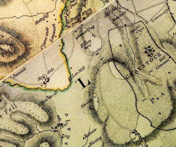 D4NY33SE.jpg "Haltcliff" block or blocks, labelled in lowercase; a hamlet or just a house item:- Carlisle Library : Map 2 Image © Carlisle Library |
|
|
|
||
| evidence:- | database:- Listed Buildings 2010 placename:- Haltcliff View item:- date stone (1664) |
|
| source data:- | courtesy of English Heritage "HALTCLIFF VIEW AND ADJOINING BYRE / / / CALDBECK / ALLERDALE / CUMBRIA / II / 72385 / NY3513235851" |
|
|
|
||
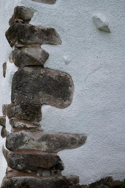 CDQ60.jpg Quoins. (taken 12.8.2015) |
||
|
|
||
 Lakes Guides menu.