 Old Cumbria Gazetteer
 |
 |
|
| Bridekirk Hall, Bridekirk | ||
| Bridekirk Hall | ||
| locality:- | Bridekirk | |
| civil parish:- | Bridekirk (formerly Cumberland) | |
| county:- | Cumbria | |
| locality type:- | buildings | |
| locality type:- | topiary | |
| coordinates:- | NY11783369 | |
| 1Km square:- | NY1133 | |
| 10Km square:- | NY13 | |
|
|
||
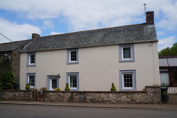 CAU75.jpg (taken 30.5.2014) |
||
|
|
||
| evidence:- | old map:- OS County Series (Cmd 45 12) placename:- Bridekirk Hall |
|
| source data:- | Maps, County Series maps of Great Britain, scales 6 and 25
inches to 1 mile, published by the Ordnance Survey, Southampton,
Hampshire, from about 1863 to 1948. |
|
|
|
||
 CAU76.jpg Topiary, cat. (taken 30.5.2014) 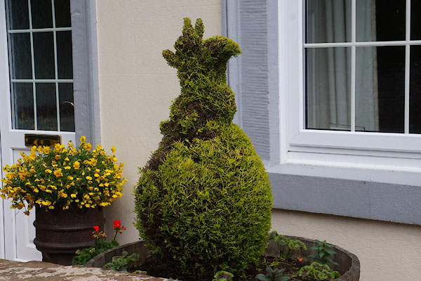 CAU77.jpg Topiary, squirrel. (taken 30.5.2014) 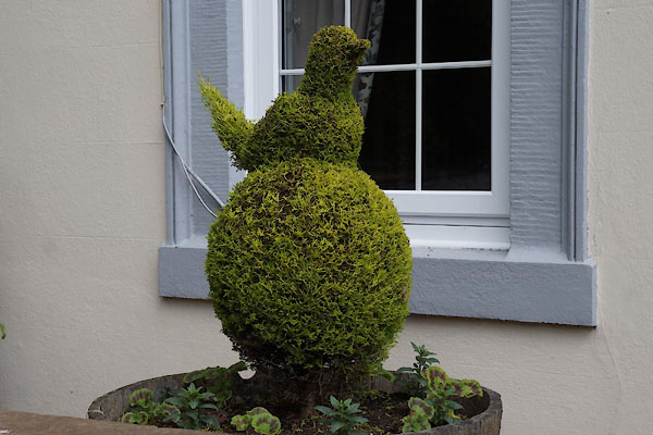 CAU78.jpg Topiary, bird. (taken 30.5.2014) |
||
|
|
||
 Lakes Guides menu.