


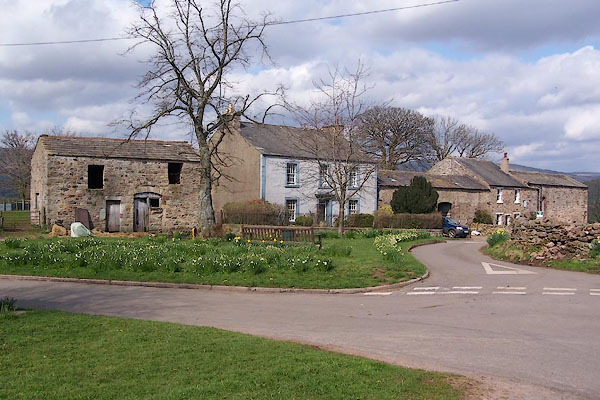
BLX56.jpg (taken 21.4.2006)
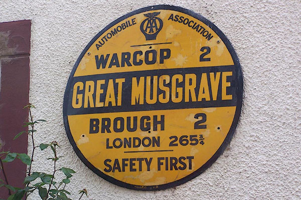
BMI23.jpg AA village sign:-
"AUTOMOBILE ASSOCIATION / WARCOP 2 / GREAT MUSGRAVE / BROUGH 2 / LONDON 265¾/ SAFETY FIRST" (taken 7.7.2006)
placename:- Great Musgrave
placename:- Musgrave, Great
placename:- Musgrave Magna
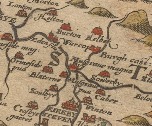
Sax9NY71.jpg
Church, symbol for a parish or village, with a parish church. "Musgrave magna"
item:- private collection : 2
Image © see bottom of page
placename:- Great Musgrave
 click to enlarge
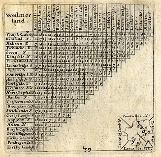
SIM3.jpg
"Great Musgrave N"
and tabulated distances
item:- private collection : 50.39
Image © see bottom of page
placename:- Great Musgrave
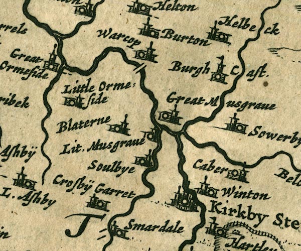
JAN3NY71.jpg
"Great Musgrave"
Buildings and tower.
item:- JandMN : 88
Image © see bottom of page
placename:- Great Musgrave
"Great Musgrave"
placename:- Greatt Musgrave
"Greatt Musgrave"
placename:- Great Musgrave
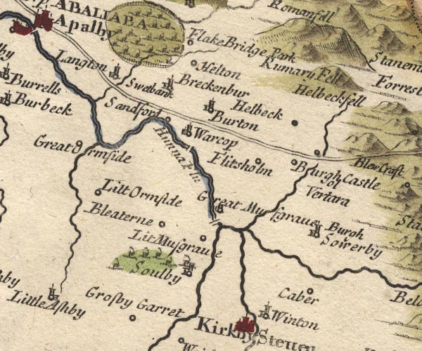
MD10NY71.jpg
"Great Musgrave"
Circle, building and tower.
item:- JandMN : 24
Image © see bottom of page
placename:- Musgrave
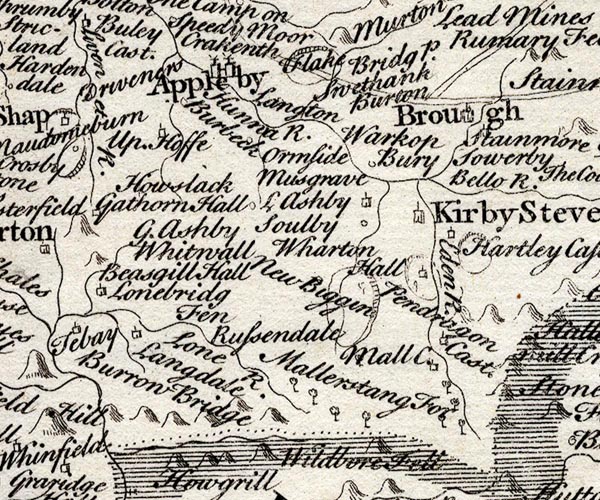
SMP2NYQ.jpg
"Musgrave"
item:- Dove Cottage : 2007.38.59
Image © see bottom of page
placename:- Great Musgrave
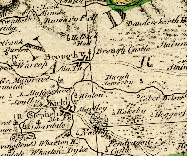
BO18NY71.jpg
"Gr. Musgrave"
circle, building and tower
item:- Armitt Library : 2008.14.10
Image © see bottom of page
placename:- Great Musgrave
placename:- Musgrave, Great
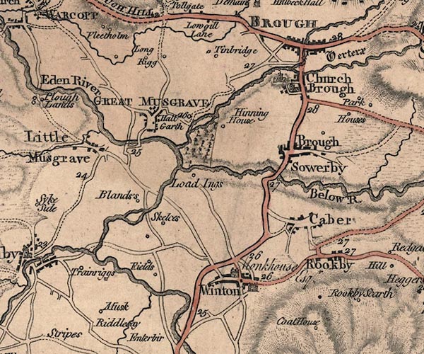
J5NY71SE.jpg
"GREAT MUSGRAVE"
blocks, labelled in block caps; village or parish?
item:- National Library of Scotland : EME.s.47
Image © National Library of Scotland
placename:- Musgrave
 goto source
Page 147:- "... It [River Eden] afterwards runs by ... two villages of the name Musgrave which give name to the warlike family of Musgrave, of whom t. Edward III. Thomas Musgrave had summons to parliament among the barons; Heartly castle in this neighbourhood was their residence."
placename:- Great Musgrave
item:- march warden
Page 156:- "..."
"The villages of Great and Little Musgrave may seem rather to derive their name from the family, their name being taken from their office Musgrave or Mosgreve equivalent to Warden of the Marches, which office they held, and not improbably the same with Markgrave. They are as old here as Peter Musgrave in the reign of Stephen. Richard Musgrave his lineal descendant was created knight of the bath, and a baronet by James I. His son Philip distinguished himself on the king's side in the civil war, and defended the Isle of Man for the countess of Derby, and, at the Restoration, had a warrant for creating him baron Musgrave of Hartley castle, but never took out the patent. The present baronet Philip is the 5th in lineal descent from him. The family burial-place is at Eden-hall, repaired and beautified by sir Richard Musgrave the 1st baronet, who died and was buried at Naples 13 James I. The late sir Christopher Musgrave in a great measure demolished the noble pile, and employed the materials on his seat at Eden-hall."
placename:- Great Musgrave
placename:- Musgrave, Great
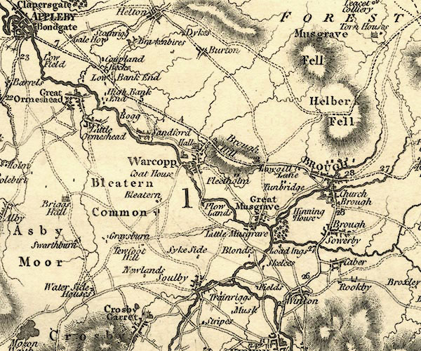
CY24NY71.jpg
"Great Musgrave"
blocks, no church symbol, labelled in upright lowercase; village
item:- JandMN : 129
Image © see bottom of page
placename:- Musgrave
 click to enlarge
COP4.jpg
"Musgrave"
circle; village or hamlet
item:- Dove Cottage : 2007.38.53
Image © see bottom of page
placename:- Great Musgrave
 click to enlarge
HA18.jpg
"Gt. Musgrave"
circle, italic lowercase text; settlement
item:- Armitt Library : 2008.14.58
Image © see bottom of page
placename:- Great Musgrave
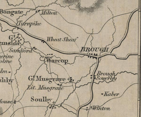
FD02NY71.jpg
"Gt. Musgrave"
item:- JandMN : 100.1
Image © see bottom of page
 sundial
 |
NY76751319 bridge, Great Musgrave (Musgrave) suggested |
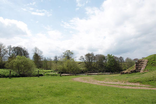 |
NY76501310 Eden Bridge (Musgrave) |
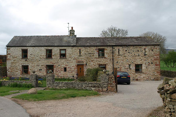 |
NY77031361 Edenholme (Musgrave) |
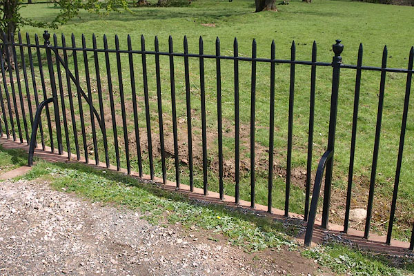 |
NY76571317 fence, Great Musgrave (Musgrave) |
 |
NY76841351 Green, The (Musgrave) |
 |
NY76891342 High Green, Great Musgrave (Musgrave) |
 |
NY773135 house, Great Musgrave (Musgrave) gone |
 |
NY76741326 Lane Foot (Musgrave) |
 |
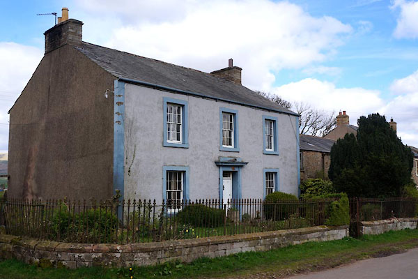
NY76761344 Lane Head (Musgrave) |
 |
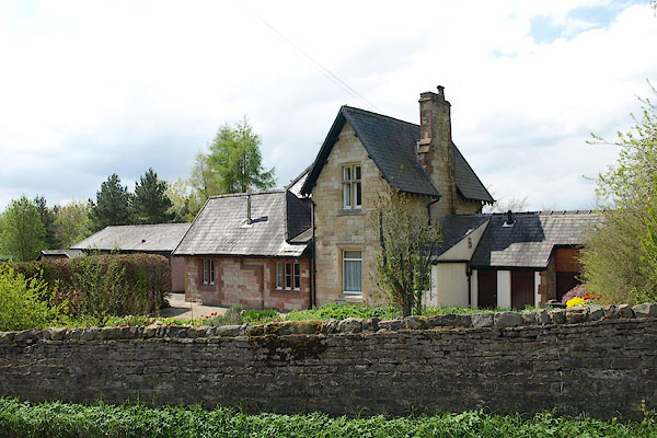
NY76811356 Musgrave House (Musgrave) L |
 |
NY76491345 Musgrave Station (Musgrave) |
 |
NY76491352 New Inn (Musgrave) |
 |
NY76791349 pinfold, Great Musgrave (Musgrave) |
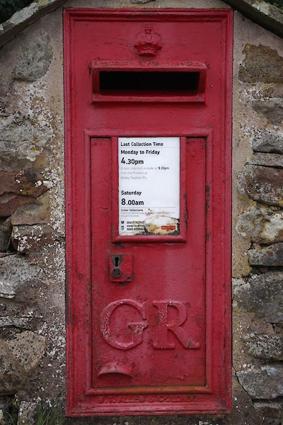 |
NY76781352 post box, Great Musgrave (Musgrave) |
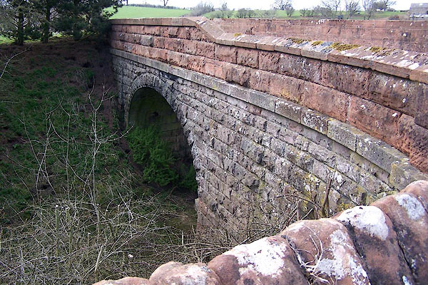 |
NY76471360 railway bridge, Musgrave (Musgrave) |
 |
NY76721323 Rectory, The (Musgrave) |
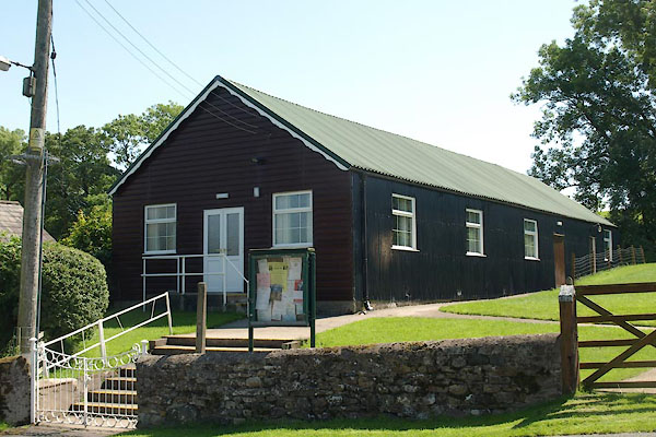 |
NY76911358 village hall, Great Musgrave (Musgrave) |
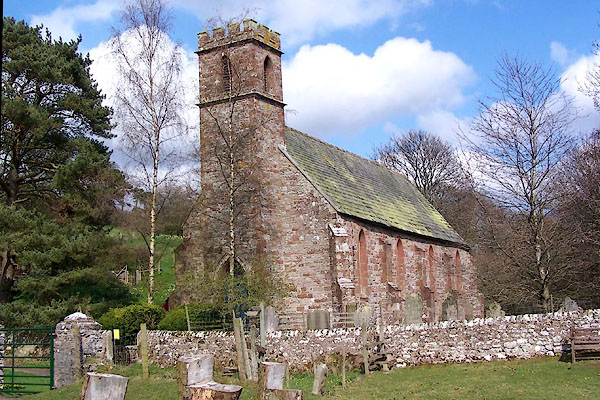 |
NY76761322 St Theobald's Church (Musgrave) |
