


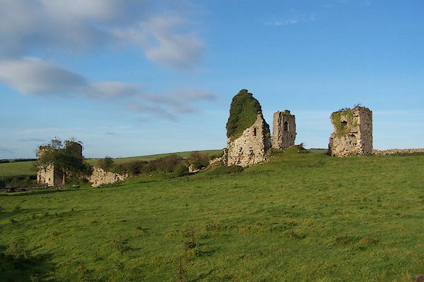
BOG20.jpg (taken 10.10.2007)
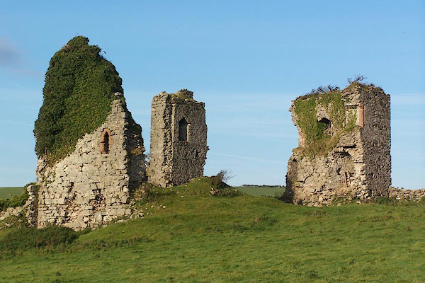
BOG21.jpg (taken 10.10.2007)
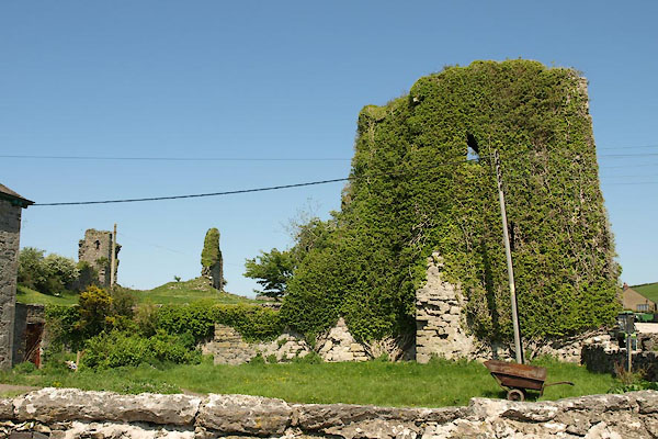
placename:- Gleaston Castle
placename:- Glaston Castle
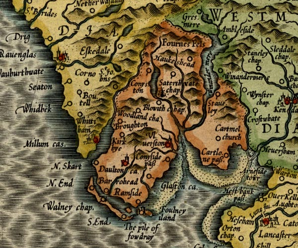
MER5LanA.jpg
"Glaston ca."
circle
item:- Armitt Library : 2008.14.3
Image © see bottom of page
placename:- Glayston Castle
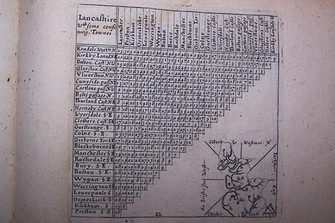 click to enlarge
SIM522.jpg
"Glayston Cast N.W."
and tabulated distances; G on thumbnail map?
item:- private collection : 50.22
Image © see bottom of page
 goto source
Page 41:- "... a view of the ruins of Gleaston-castle, the seat of the Flemings soon after the conquest, which by a succession of marriages, went to Cansfield, then to Harrington, who enjoyed it six decents (sic), after that to Bonville, and lastly to Gray; and was forfeited by Henry Gray, Duke of Suffolk, A.D. 1559."
placename:- Gleaston Castle
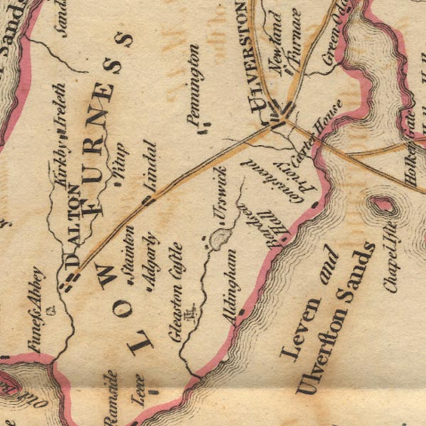
Ws02SD27.jpg
item:- Armitt Library : A1221.1
Image © see bottom of page
placename:- Gleaston Castle
item:- celt
 goto source
Page 143:- "Gleaston castle in this parish, now belonging to lord George Cavendish, has been very large, having four high towers besides many other buildings with thick mud walls. It stands in a fertile vale among rich meadows sheltered from the sea by fruitful hills. In the ruins of this castle was found a brass celt 9 inches long and 5 at its broad end, finely polished and covered with a beautiful patina. ..."
placename:- Gleaston Castle
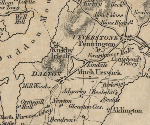
FD02SD27.jpg
"Gleaston Cas."
item:- JandMN : 100.1
Image © see bottom of page
placename:- Gleaston Castle
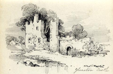 click to enlarge
AS0289.jpg
"Gleaston Castle"
page number "77"
Opposite page "Gleaston is believed to have been built by the Lords of Aldingham, in consequence of the lower portion of the coast in wh they originaly resided having been swept away by the sea. The date of its erection is not known It was formerly the property of the Duke of Suffolk, father of Lady Jane Grey."
item:- Armitt Library : 1958.488.89
Image © see bottom of page
placename:- Gleaston Castle
item:- picnic
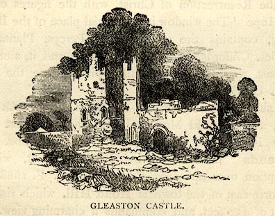 click to enlarge
BEM103.jpg
On p.9 of a Handy Guide to the English Lakes and Shap Spa.
printed at bottom:- "GLEASTON CASTLE."
item:- JandMN : 455.5
Image © see bottom of page
placename:- Muchland Castle
placename:- Gleaston Castle
courtesy of English Heritage
"GLEASTON CASTLE / / / ALDINGHAM / SOUTH LAKELAND / CUMBRIA / I / 75785 / SD2611871396"
courtesy of English Heritage
"Ruins of castle. Probably early C14, abandoned late C15. Dressed stone with some ashlar dressings. Rectangular plan with rectangular towers to angles, 3 having substantial remains. No signs of wall to north, that to east now part of farm buildings. South-east tower has pointed entrance to west elevation some pointed windows to 1st floor, interior has stair within wall and ground floor and lst floor fireplaces; remains of garderobe. South-west tower has steps to 1st floor entrance to north side, pointed lights; low undercroft, lst and 2nd floor fireplaces and garderobes. Substantial remains of west wall, possibly had mid-wall tower; blocked entrance to north end adjoining north west tower, of which 3 parts remain, to north-west, south- west and east. Pointed windows remain, some with cusped ogee heads. Remains of mural passage and fireplace to north-west part. A manorial castle built for defensive purposes. A Scheduled Ancient Monument."
placename:- Gleaston Castle
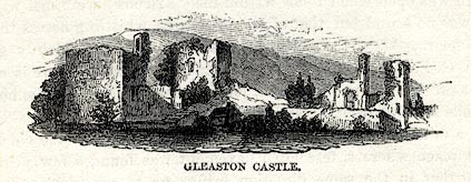 click to enlarge
WU0110.jpg
On p.34 of Over Sands to the Lakes, by Edwin Waugh.
printed at bottom:- "GLEASTON CASTLE."
item:- Armitt Library : A1082.10
Image © see bottom of page
placename:- Gleaston Castle
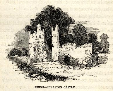 click to enlarge
SYL133.jpg
On p.120 of Sylvan's Pictorial Guide to the English Lakes.
printed at bottom:- "RUINS - GLEASTON CASTLE."
item:- Armitt Library : A1201.33
Image © see bottom of page
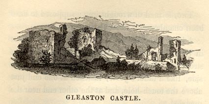 click to enlarge
JP1E26.jpg
On p.168 of a Sketch of Furness and Cartmel, by Charles M Jopling.
item:- Armitt Library : A1636.26
Image © see bottom of page
placename:- Gleaston Castle
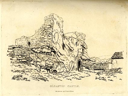 click to enlarge
GN0329.jpg
Plate 29 in Seventy Eight Studies from Nature.
printed in introductory pages to set of prints:- "Number 29. A view of one of the Towers of Gleaston Castle."
printed at bottom:- "GLEASTON CASTLE. / Pub. Ambleside, Augst. 1st. 1809, by W. Green."
item:- Armitt Library : A6637.29
Image © see bottom of page
placename:- Gleaston Castle
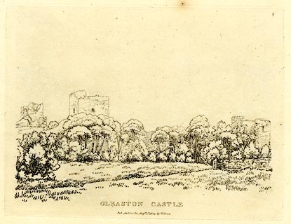 click to enlarge
GN0308.jpg
Plate 8 in Seventy Eight Studies from Nature.
printed in introductory pages to set of prints:- "Number 8. The ruins of Furness Abbey lie about three miles west of Gleaston Castle, which is south from Ulverstone five or six miles. Some useful drawing may be got at Gleaston Castle; and Peel Castle, a few miles south of it, is not undeserving the attention of an artist."
printed at bottom:- "GLEASTON CASTLE. / Pub. Ambleside, Augst. 1st. 1809, by W. Green."
item:- Armitt Library : A6637.8
Image © see bottom of page
placename:- Gleaston Castle
item:-
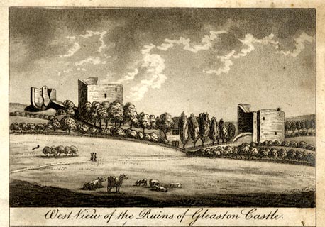 click to enlarge
WS2705.jpg
Tipped in opposite p.346 in The Antiquities of Furness, by Thomas West, 2nd edn edited by William Close.
printed at bottom:- "West View of the Ruins of Gleaston Castle."
printed at bottom of page, left, right:- "Drawn by W. Close."
item:- private collection : 202.6
Image © see bottom of page
placename:- Gleaston Castle
item:-
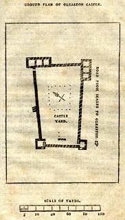 click to enlarge
WS2711.jpg
On p.387 in The Antiquities of Furness, by Thomas West, 2nd edn edited by William Close.
printed at top:- "GROUND PLAN OF GLEASTON CASTLE."
printed at with scale line:- "SCALE OF YARDS."
item:- private collection : 202.10
Image © see bottom of page
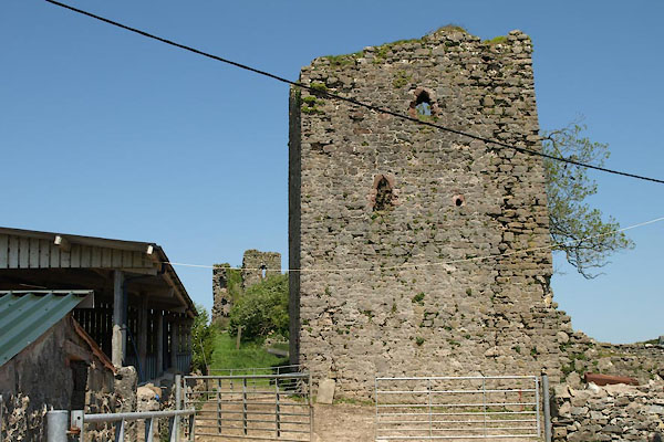
BWM88.jpg (taken 22.5.2012)
BWM89.jpg (taken 22.5.2012)
 click to enlarge
PR0751.jpg
 click to enlarge
PR0752.jpg
BTO28.jpg (taken 24.9.2010)
BTO29.jpg (taken 24.9.2010)
