Old Cumbria Gazetteer
 |
 |
|
||
| Gastack Beck | ||||
| runs into:- |  Deepdale Beck Deepdale Beck |
|||
|
|
||||
| civil parish:- | Dent (formerly Yorkshire) | |||
| county:- | Cumbria | |||
| locality type:- | river | |||
| 1Km square:- | SD7183 (etc) | |||
| 10Km square:- | SD78 | |||
|
|
||||
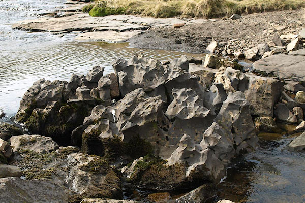
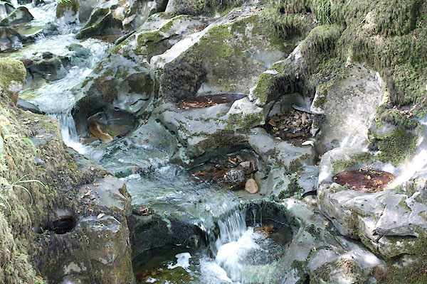 BQY40.jpg Churn pots in the stream above the waterfall, (taken 1.7.2009) 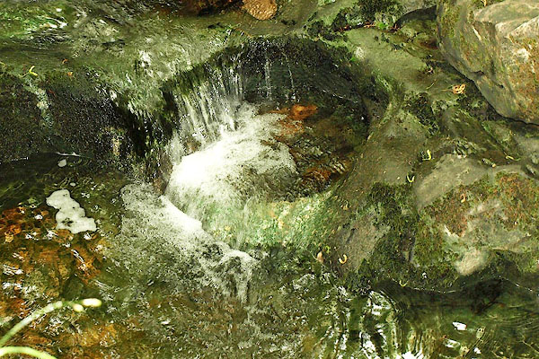 BQY41.jpg Churn pots in the stream above the waterfall, (taken 1.7.2009) |
||||
|
|
||||
| evidence:- | old map:- Balderston c1890 map placename:- Gastack Beck |
|||
| source data:- | Map, the hills in the Ingleton area, probably by Robert R
Balderston, engraved by Goodall and Suddick, Leeds, West
Yorkshire, about 1890.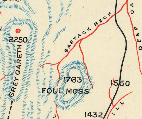 BS1SD78B.jpg "GASTACK BECK" item:- private collection : 27.1 Image © see bottom of page |
|||
|
|
||||
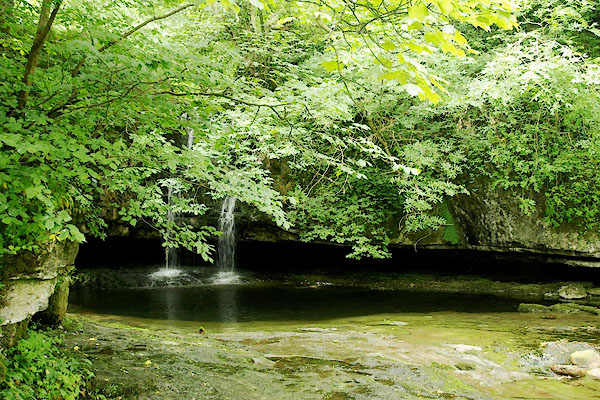
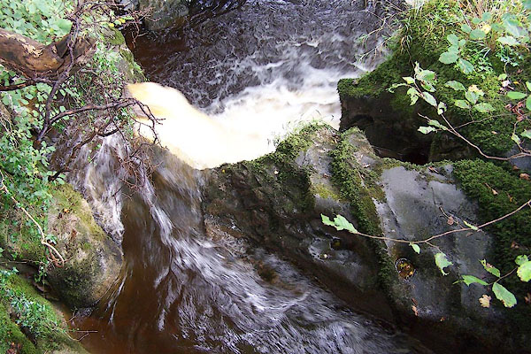 BJW27.jpg Below the road bridge below waterfall, (taken 23.9.2005) |
||||
|
|
||||
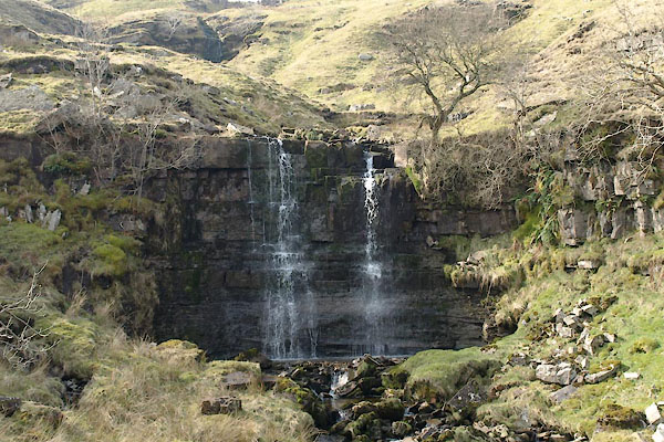
 BUG15.jpg (taken 24.3.2011) 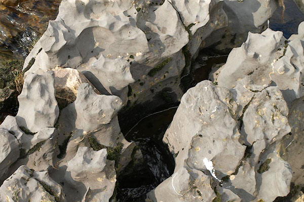 BUG16.jpg (taken 24.3.2011) 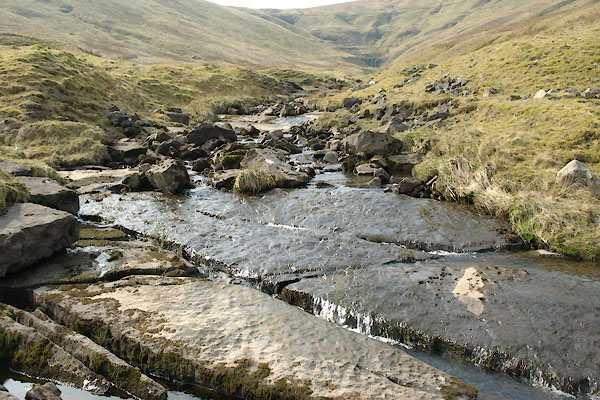 BUG17.jpg (taken 24.3.2011) 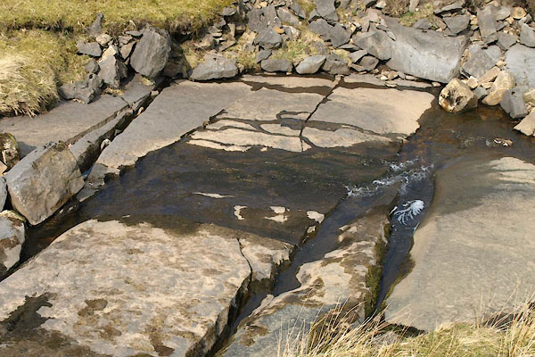 BUG18.jpg (taken 24.3.2011) |
||||
|
|
||||
| places:- |
|
|||
|
||||
|
||||
Lakes Guides menu.