Old Cumbria Gazetteer
 |
 |
|
||
| Deepdale Beck | ||||
| runs into:- |  Goldrill Beck Goldrill Beck |
|||
|
|
||||
| civil parish:- | Patterdale (formerly Westmorland) | |||
| county:- | Cumbria | |||
| locality type:- | river | |||
| 1Km square:- | NY3813 (etc) | |||
| 10Km square:- | NY31 | |||
|
|
||||
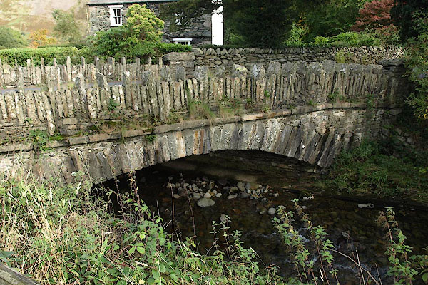
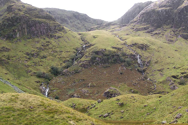
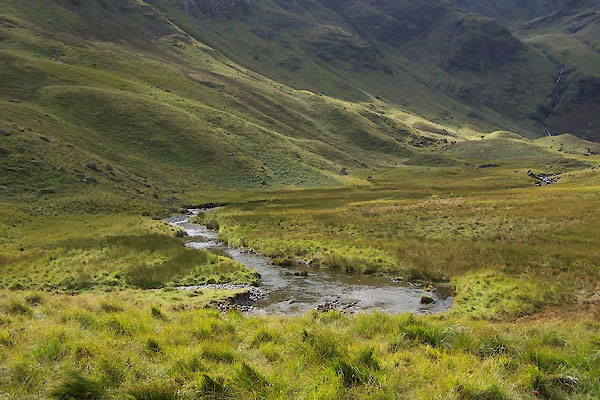 BXI60.jpg (taken 18.9.2012) 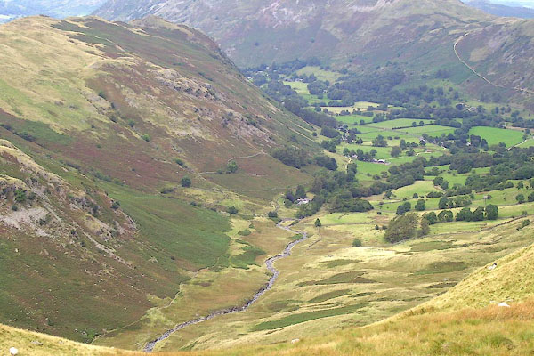 BOE60.jpg (taken 11.9.2007) |
||||
|
|
||||
| evidence:- | old map:- OS County Series (Wmd 19 3) placename:- Deepdale Beck |
|||
| source data:- | Maps, County Series maps of Great Britain, scales 6 and 25
inches to 1 mile, published by the Ordnance Survey, Southampton,
Hampshire, from about 1863 to 1948. |
|||
|
|
||||
| evidence:- | old map:- Jefferys 1770 (Wmd) |
|||
| source data:- | Map, 4 sheets, The County of Westmoreland, scale 1 inch to 1
mile, surveyed 1768, and engraved and published by Thomas
Jefferys, London, 1770.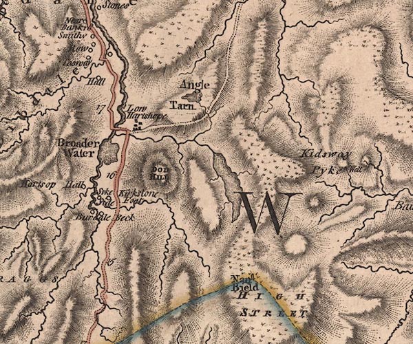 J5NY41SW.jpg single or double wiggly line; river item:- National Library of Scotland : EME.s.47 Image © National Library of Scotland |
|||
|
|
||||
| evidence:- | old map:- Cary 1789 (edn 1805) |
|||
| source data:- | Map, uncoloured engraving, Westmoreland, scale about 2.5 miles
to 1 inch, by John Cary, London, 1789; edition 1805.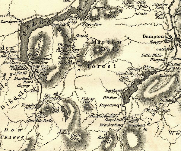 CY24NY41.jpg river running into the Goldrill item:- JandMN : 129 Image © see bottom of page |
|||
|
|
||||
| evidence:- | old text:- Wordsworth 1810 |
|||
| source data:- | Guide book, A Description of the Scenery of the Lakes, later A
Guide through the District of The Lakes, by William Wordsworth,
1810-35. goto source page xxi "... the next considerable steam would, if ascending in the same manner, conduct to Deep-dale, the character of which Valley may be conjectured from its name. It is terminated by a cove, a craggy and gloomy abyss, with precipitous sides; a faithful receptacle of the snows that are driven into it, by the west wind, from the summit of Fairfield. ..." |
|||
|
|
||||
| places:- |
|
|||
|
||||
|
||||
Lakes Guides menu.