button to main menu  Old Cumbria Gazetteer
Forest Head, Farlam
Forest Head
civil parish:-   Farlam (formerly Cumberland)
civil parish:-   Midgeholme (formerly Cumberland)
county:-   Cumbria
locality type:-   locality
locality type:-   buildings
coordinates:-   NY58255749 (etc) 
1Km square:-   NY5857
10Km square:-   NY55

evidence:-   old map:- OS County Series (Cmd 18 15) 
placename:-  Forest Head
source data:-   Maps, County Series maps of Great Britain, scales 6 and 25 inches to 1 mile, published by the Ordnance Survey, Southampton, Hampshire, from about 1863 to 1948.

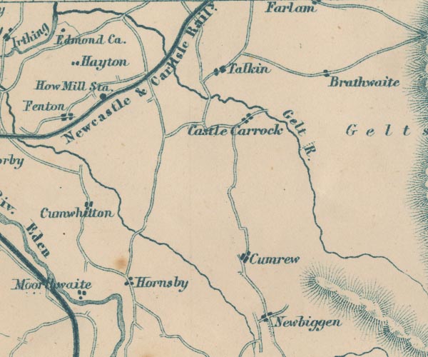
evidence:-   possibly old map:- Garnett 1850s-60s H
placename:-  Brathwaite
source data:-   Map of the English Lakes, in Cumberland, Westmorland and Lancashire, scale about 3.5 miles to 1 inch, published by John Garnett, Windermere, Westmorland, 1850s-60s.
image
GAR2NY55.jpg
"Brathwaite"
blocks, settlement 
item:-  JandMN : 82.1
Image © see bottom of page
places:-  
NY57805746 Clesket Holme (Farlam)
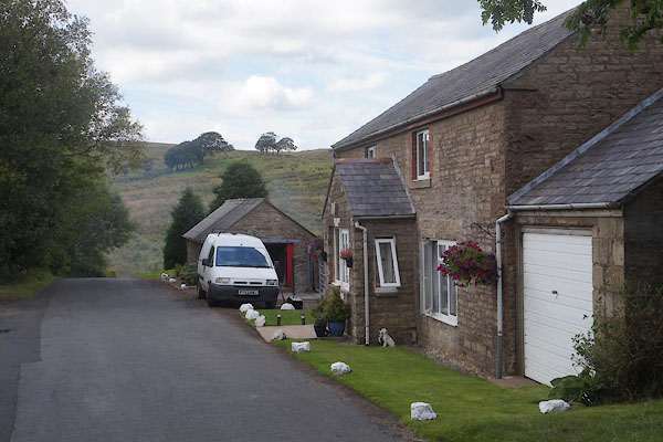
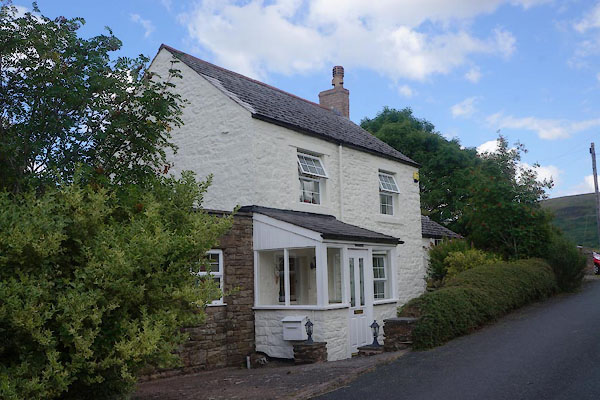
NY58195755 Forest Head Cottage (Farlam)
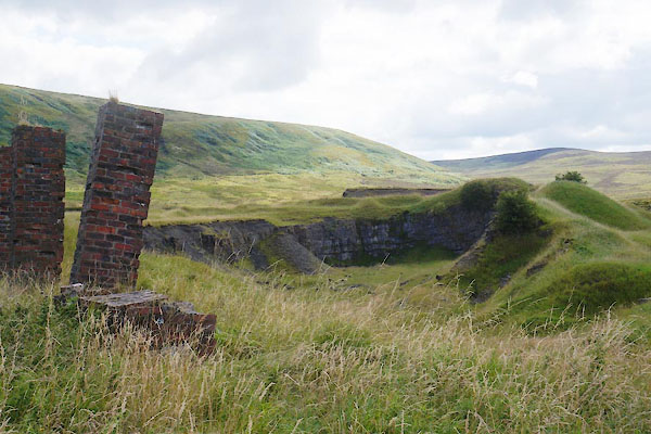
NY58455741 Foresthead Quarries (Midgeholme)
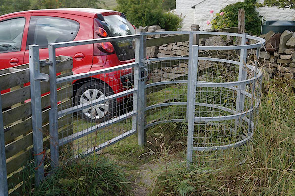
NY58285753 gate, Forest Head (Midgeholme)
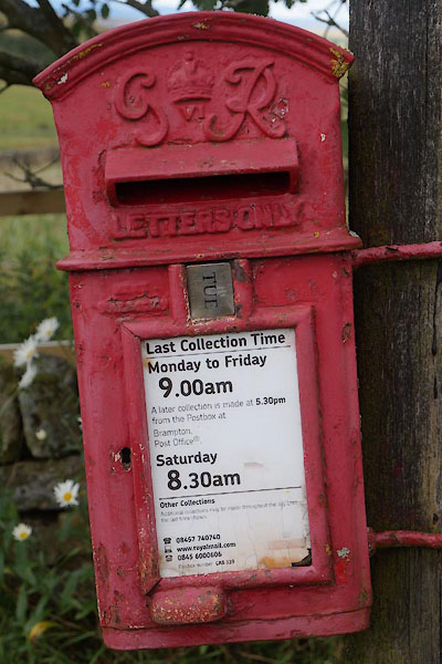
NY58205754 post box, Forest Head (Midgeholme)
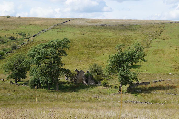
NY58265733 Starling Castle (Midgeholme)
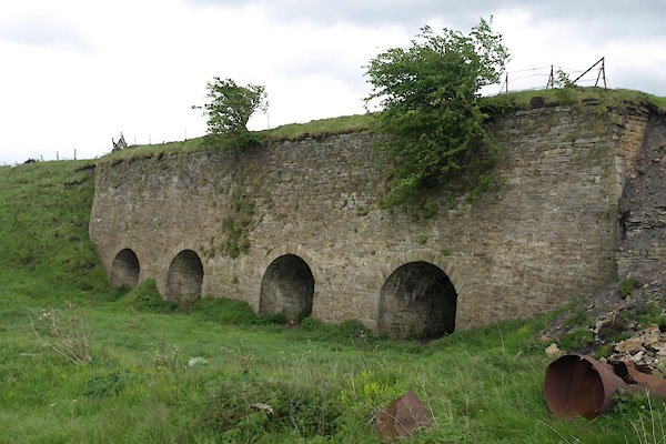
NY58555774 Foresthead Limekilns (Midgeholme)
button to lakes menu  Lakes Guides menu.