 Old Cumbria Gazetteer
 |
 |
|
| Foresthead Limekilns, Forest Head | ||
| Foresthead Limekilns | ||
| site name:- | Foresthead Quarries | |
| locality:- | Forest Head | |
| civil parish:- | Midgeholme (formerly Cumberland) | |
| county:- | Cumbria | |
| locality type:- | limekiln (etc) | |
| coordinates:- | NY58555774 (etc) | |
| 1Km square:- | NY5857 | |
| 10Km square:- | NY55 | |
|
|
||
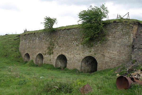 BUP05.jpg (taken 21.5.2011) 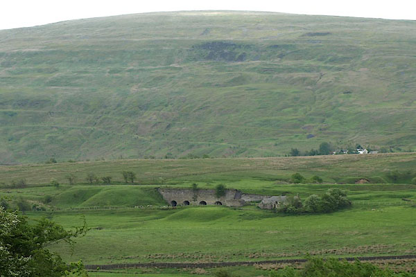 BUP04.jpg (taken 21.5.2011) |
||
|
|
||
| evidence:- | old map:- OS County Series (Cmd 18) placename:- Foresthead Limekilns |
|
| source data:- | Maps, County Series maps of Great Britain, scales 6 and 25
inches to 1 mile, published by the Ordnance Survey, Southampton,
Hampshire, from about 1863 to 1948. "Foresthead Limekilns" and quarry, railway sidings, etc |
|
|
|
||
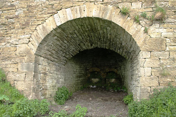 BUP06.jpg (taken 21.5.2011) 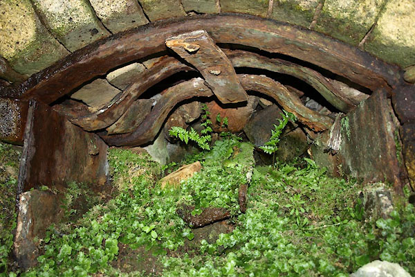 BUP07.jpg (taken 21.5.2011) 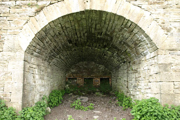 BUP08.jpg (taken 21.5.2011) 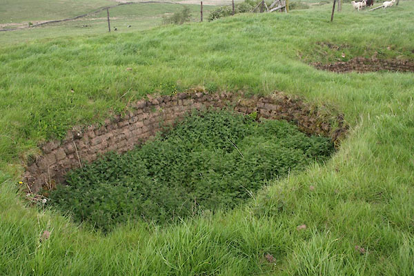 BUP09.jpg (taken 21.5.2011) 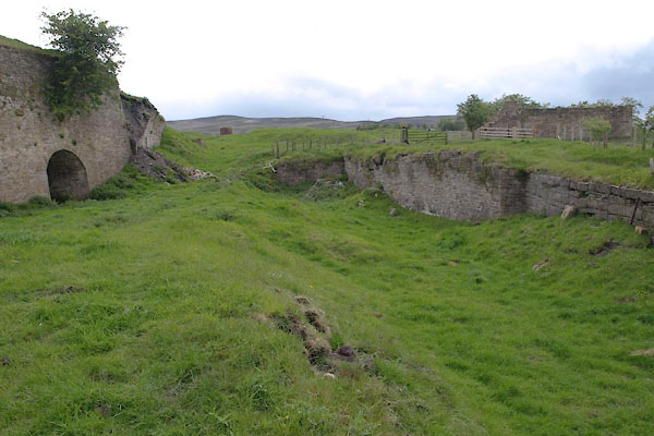 BUP10.jpg Head of tramroad from the limekilns. (taken 21.5.2011) 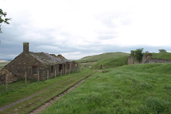 BUP11.jpg Looking NE. (taken 21.5.2011) |
||
|
|
||
| MN photo:- |
A ruined house at the site shows building construction. |
|
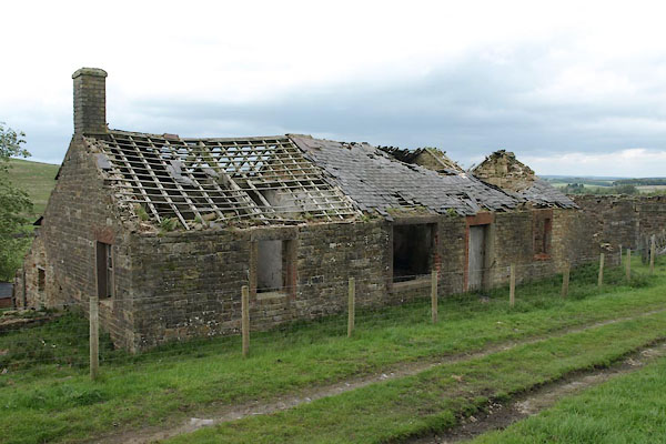 BUP12.jpg (taken 21.5.2011) 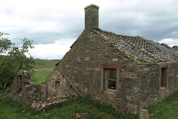 BUP19.jpg Gable end. (taken 21.5.2011) 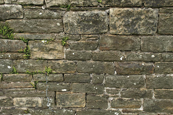 BUP13.jpg Walling. (taken 21.5.2011) 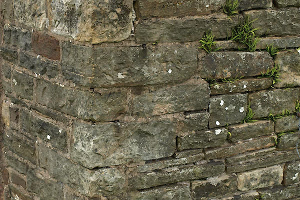 BUP14.jpg Quoins. (taken 21.5.2011) 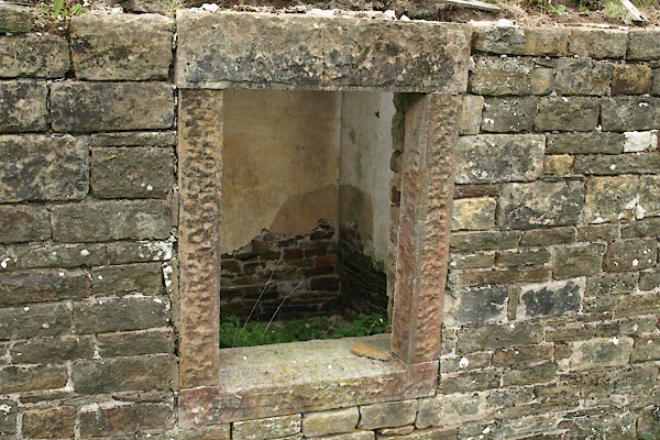 BUP15.jpg Window. (taken 21.5.2011) 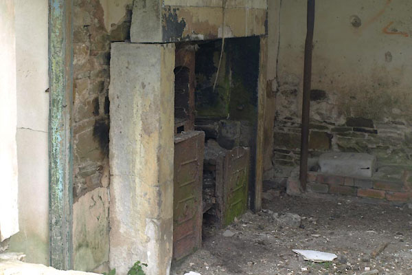 BUP16.jpg Cooking range. (taken 21.5.2011) 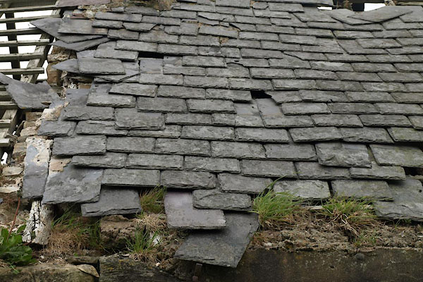 BUP17.jpg Roof, slates. (taken 21.5.2011) 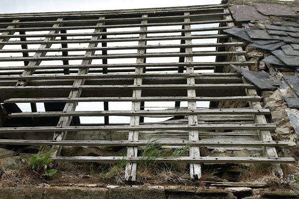 BUP18.jpg Rafters. (taken 21.5.2011) |
||
|
|
||
 Lakes Guides menu.