 Old Cumbria Gazetteer
 |
 |
|
| Fir Island, Coniston Water | ||
| Fir Island | ||
| site name:- | Coniston Water | |
| civil parish:- | Satterthwaite (formerly Lancashire) | |
| county:- | Cumbria | |
| locality type:- | island | |
| coordinates:- | SD30589420 | |
| 1Km square:- | SD3094 | |
| 10Km square:- | SD39 | |
|
|
||
| evidence:- | old map:- Crosthwaite 1783-94 (Con) placename:- Knott's Island |
|
| source data:- | Map, uncoloured engraving, An Accurate Map of Coniston Lake,
scale about 3 inches to 1 mile, by Peter Crosthwaite, Keswick,
Cumberland, 1788, version published 1809.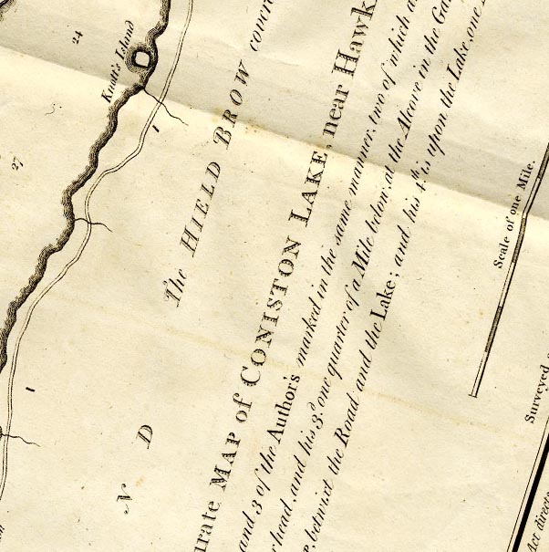 CTESD39B.jpg "Knott's Island" island item:- JandMN : 182.5 Image © see bottom of page |
|
|
|
||
| evidence:- | old photograph:- Bell 1880s-1940s |
|
| source data:- | Photograph, black and white, Fir Island, Coniston Water, Satterthwaite, Lancashire,
by Herbert Bell, Ambleside, Westmorland, 1890s.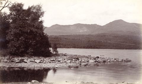 click to enlarge click to enlargeHB0445.jpg internegative at lower right:- "H. Bell" item:- Armitt Library : ALPS100 Image © see bottom of page |
|
|
|
||
 Lakes Guides menu.