 Old Cumbria Gazetteer
 |
 |
|
| Egremont Station, Egremont | ||
| Egremont Station | ||
| site name:- | Egremont and Sellafield branch railway | |
| site name:- | Whitehaven, Cleator and Egremont Railway | |
| locality:- | Egremont | |
| civil parish:- | Egremont (formerly Cumberland) | |
| county:- | Cumbria | |
| locality type:- | railway station | |
| locality type:- | railway junction | |
| coordinates:- | NY01041116 | |
| 1Km square:- | NY0111 | |
| 10Km square:- | NY01 | |
| SummaryText:- | Opened 1857; closed 1935; reopened 1946; closed 1947. | |
|
|
||
| evidence:- | old map, old map, old map:- OS County Series (Cmd 72 3) |
|
| source data:- | Maps, County Series maps of Great Britain, scales 6 and 25
inches to 1 mile, published by the Ordnance Survey, Southampton,
Hampshire, from about 1863 to 1948. OS County Series (Cmd 72 4) OS County Series (Cmd 72 8) 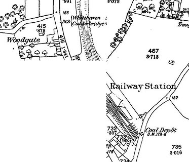 click to enlarge click to enlargeCSRY0094.jpg "Railway Station / Coal Depot / [ ]" |
|
|
|
||
| evidence:- | old map:- Postlethwaite 1877 (3rd edn 1913) |
|
| source data:- | Map, uncoloured engraving, Map of the Lake District Mining Field, Westmorland, Cumberland,
Lancashire, scale about 5 miles to 1 inch, by John Postlethwaite, published by W H
Moss and Sons, 13 Lowther Street, Whitehaven, Cumberland, 1877 edn 1913.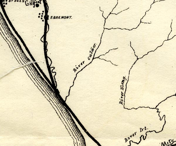 PST2Ny00.jpg "EGREMONT" station on railway item:- JandMN : 162.2 Image © see bottom of page |
|
|
|
||
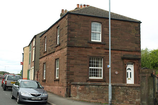 BWK69.jpg Station House at, (taken 16.5.2012) |
||
|
|
||
 Lakes Guides menu.