 Old Cumbria Gazetteer
 |
 |
|
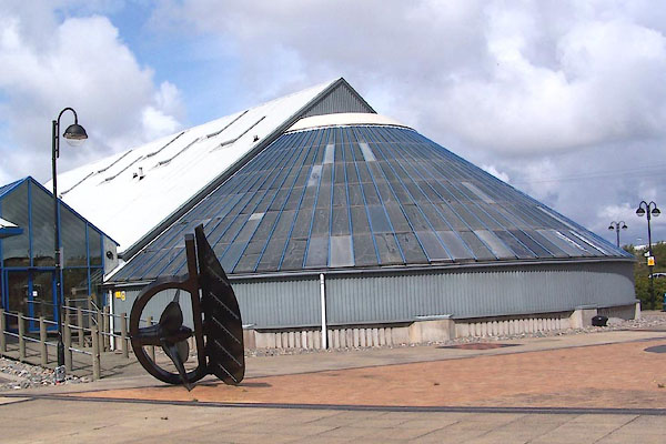
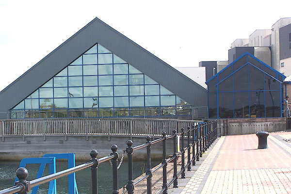
| Dock Museum, Barrow-in-Furness | ||
| Dock Museum | ||
| Furness Museum and the Dock | ||
| Street:- | North Road | |
| locality:- | Barrow Island | |
| locality:- | Barrow-in-Furness | |
| civil parish:- | Barrow-in-Furness (formerly Lancashire) | |
| county:- | Cumbria | |
| locality type:- | museum | |
| coordinates:- | SD190691 | |
| 1Km square:- | SD1969 | |
| 10Km square:- | SD16 | |
|
|
||
 BMO77.jpg (taken 30.8.2006) 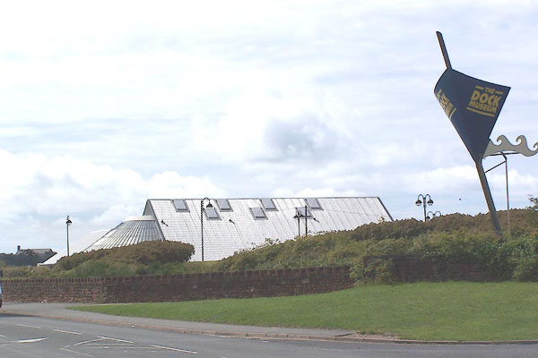 BMO76.jpg (taken 30.8.2006) |
||
|
|
||
| evidence:- | database:- Listed Buildings 2010 |
|
| source data:- | courtesy of English Heritage "GRAVING DOCK / / NORTH ROAD / BARROW IN FURNESS / BARROW IN FURNESS / CUMBRIA / II / 388542 / SD1900069208" |
|
| source data:- | courtesy of English Heritage "Graving dock. Opened 1.8.1872 (Barnes). Red sandstone. Round-ended inlet measuring 500x60 feet (approx 150x18m) with entrance from Walney Channel at north-west end. Entrance has battered walls and limestone slot for caisson. The remainder has tiered sides with steps near the entrance and with intermediate buttresses. Rounded end has steps formed over inlet hole and Roman numerals marking water depth. Now forms part of Maritime Museum site; the south-east end of the dock now within museum building. Shown in use in engravings of 1886 (Almanack). (Barnes F: Barrow and District: Barrow in Furness: 1968-: 91 &COVER ILLUST.; The Barrow in Furness Almanack and Tide Tables: Barrow in Furness: 1886-: FOLD-OUT ENGRAVINGS)." |
|
|
|
||
 BMO78.jpg (taken 30.8.2006) 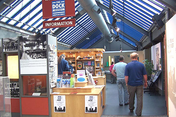 BMO79.jpg (taken 30.8.2006) 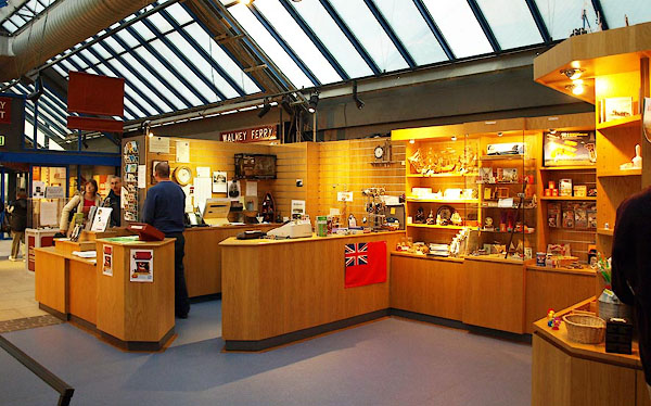 BPS80.jpg (taken 14.10.2008) 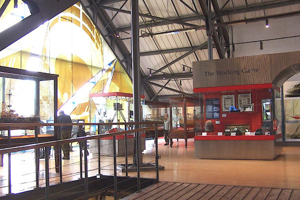 BMO80.jpg (taken 30.8.2006) 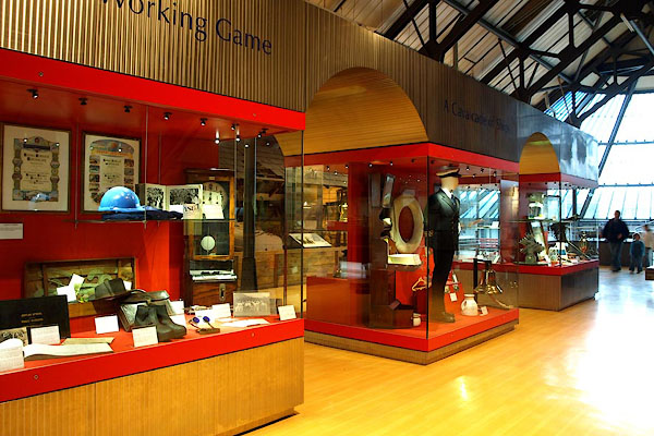 BPS76.jpg (taken 14.10.2008) 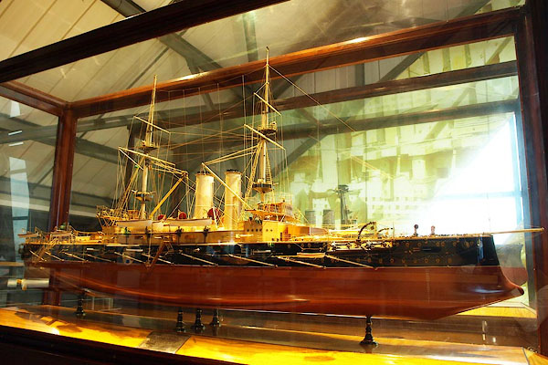 BPS77.jpg (taken 14.10.2008) 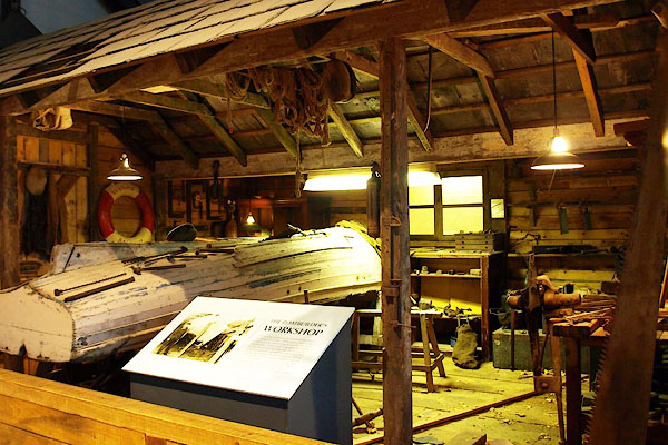 BPS78.jpg (taken 14.10.2008) 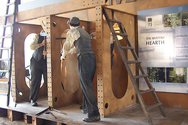 BMO81.jpg (taken 30.8.2006)  BPS79.jpg (taken 14.10.2008) |
||
|
|
||
 Lakes Guides menu.