 Old Cumbria Gazetteer
 |
 |
|
| Dalton Station, Dalton-in-Furness | ||
| Dalton Station | ||
| site name:- | Furness Railway | |
| locality:- | Dalton-in-Furness | |
| civil parish:- | Dalton Town with Newton (formerly Lancashire) | |
| county:- | Cumbria | |
| locality type:- | railway station | |
| coordinates:- | SD23127380 | |
| 1Km square:- | SD2373 | |
| 10Km square:- | SD27 | |
| SummaryText:- | Opened 1846. | |
|
|
||
 BMJ41.jpg (taken 10.7.2006) 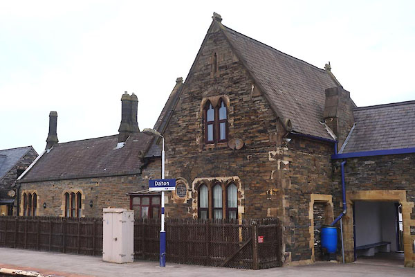 CCV98.jpg (taken 17.4.2015) |
||
|
|
||
| evidence:- | old map:- OS County Series (Lan 16 13) placename:- Dalton Station item:- railway bridge; weighing machine; railway signal; crane; railway milepost |
|
| source data:- | Maps, County Series maps of Great Britain, scales 6 and 25
inches to 1 mile, published by the Ordnance Survey, Southampton,
Hampshire, from about 1863 to 1948.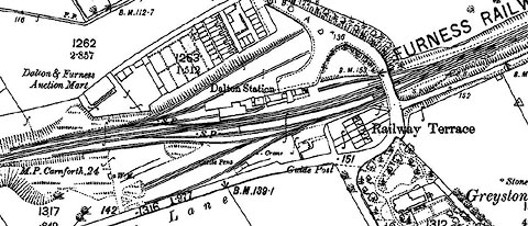 click to enlarge click to enlargeCSRY0143.jpg "Dalton Station / S.P. / Crane / W.M. / Catlle Pens / M.P. Carnforth 24 / ... / Railway Terrace / ..." |
|
|
|
||
| evidence:- | old map:- Garnett 1850s-60s H |
|
| source data:- | Map of the English Lakes, in Cumberland, Westmorland and
Lancashire, scale about 3.5 miles to 1 inch, published by John
Garnett, Windermere, Westmorland, 1850s-60s.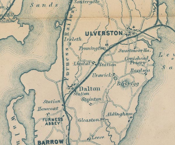 GAR2SD27.jpg "Station" dot by railway item:- JandMN : 82.1 Image © see bottom of page |
|
|
|
||
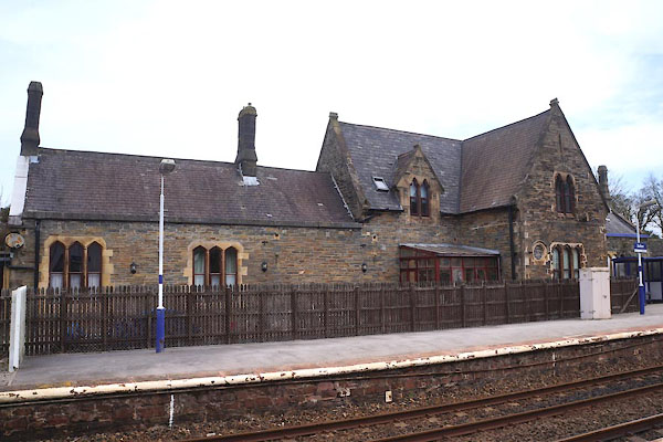 CCV97.jpg (taken 17.4.2015) 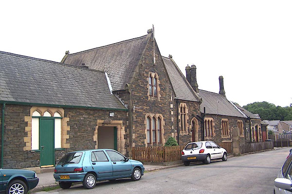 BMJ43.jpg (taken 10.7.2006) 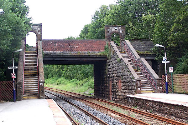 BMJ42.jpg Footbridge and road bridge. (taken 10.7.2006) 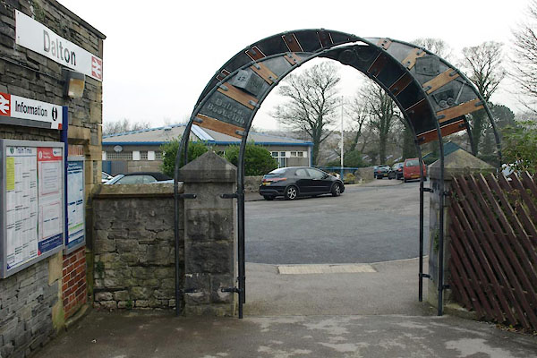 BVQ30.jpg Station entrance. (taken 11.11.2011) 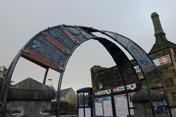 BVQ31.jpg Station entrance. (taken 11.11.2011) 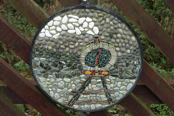 BVQ32.jpg Mosaic decoration. (taken 11.11.2011) 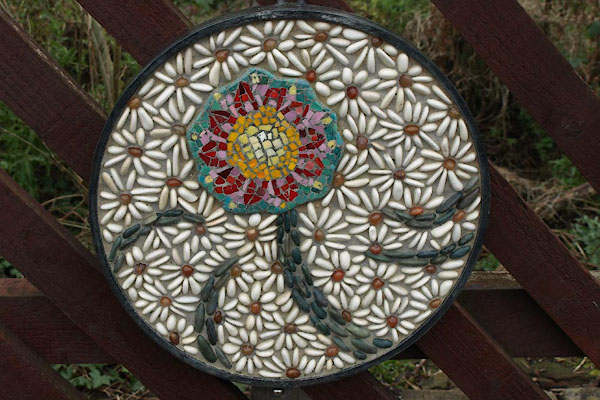 BVQ33.jpg Mosaic decoration. (taken 11.11.2011) 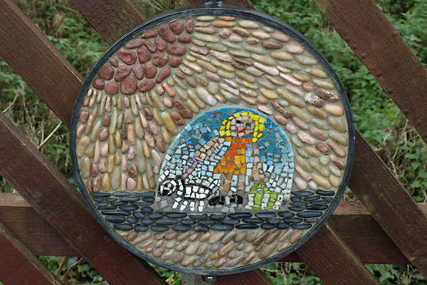 BVQ34.jpg Mosaic decoration. (taken 11.11.2011) 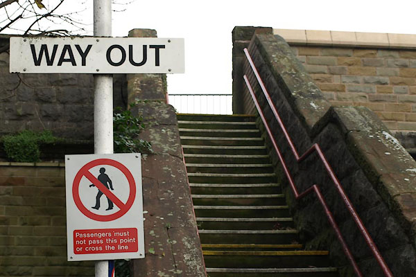 BVQ35.jpg Exit or No exit sign? (taken 11.11.2011) |
||
|
|
||
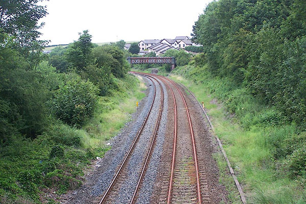 BMJ40.jpg View E. (taken 10.7.2006) 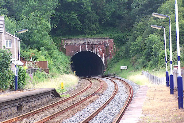 BMJ44.jpg View W. (taken 10.7.2006) |
||
|
|
||
 Lakes Guides menu.