 |
 |
|
|
|
|
Currock |
| locality:- |
Carlisle |
| civil parish:- |
Carlisle (formerly Cumberland) |
| county:- |
Cumbria |
| locality type:- |
locality |
| locality type:- |
buildings |
| coordinates:- |
NY40165422 (etc) |
| 1Km square:- |
NY4054 |
| 10Km square:- |
NY45 |
|
|
| evidence:- |
old map:- OS County Series (Cmd 23 7)
placename:- Currock
|
| source data:- |
Maps, County Series maps of Great Britain, scales 6 and 25
inches to 1 mile, published by the Ordnance Survey, Southampton,
Hampshire, from about 1863 to 1948.
|
|
|
| places:- |
 |
NY40425443 bone manure works, Carlisle (2) (Carlisle) gone |
|
|
|
NY40885449 Hasell Street (Carlisle) |
|
|
|
NY40825464 Regent Street (Carlisle) |
|
|
|
NY40185467 Currock Engine Shed (Carlisle) |
|
|
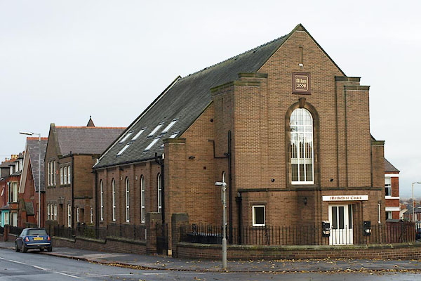 |
NY40305424 Methodist Court (Carlisle) |
|
|
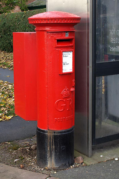 |
NY40295423 post box, Carlisle (Carlisle) |
|
|
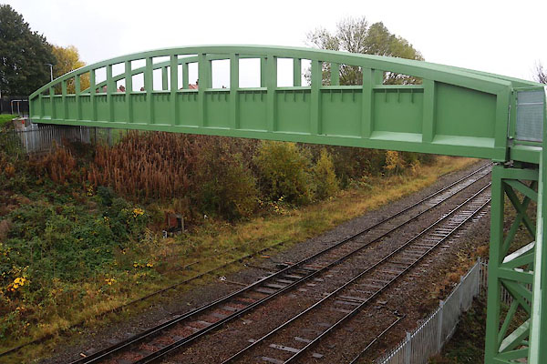 |
NY39945437 railway footbridge, Carlisle (Carlisle) |
|
|
|
NY40845470 Sammy's Barn (Carlisle) gone? |
|
|
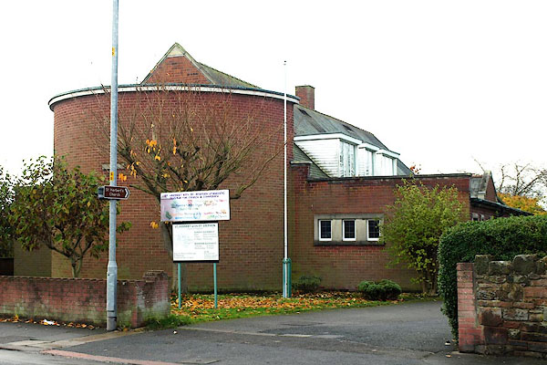 |
NY40285396 St Herbert with St Stephen's Church (Carlisle) |
|
