 |
 |
|
|
|
|
Corby Hill |
| civil parish:- |
Hayton (formerly Cumberland) |
| county:- |
Cumbria |
| locality type:- |
locality |
| locality type:- |
buildings |
| coordinates:- |
NY47735722 (etc) |
| 1Km square:- |
NY4757 |
| 10Km square:- |
NY45 |
| SummaryText:- |
the old small locality name is now used for the larger area and includes Little Corby |
|
|
| evidence:- |
old map:- OS County Series (Cmd 17 15)
placename:- Corby Hill
|
| source data:- |
Maps, County Series maps of Great Britain, scales 6 and 25
inches to 1 mile, published by the Ordnance Survey, Southampton,
Hampshire, from about 1863 to 1948.
OS County Series (Cmd 24 3)
|
|
|
| evidence:- |
old map:- Ogilby 1675 (plate 86)
placename:- Corbey
|
| source data:- |
Road strip map, uncoloured engraving, the Road from Tinmouth ...
to Carlisle, scale about 1 inch to 1 mile, by John Ogilby,
London, 1675.
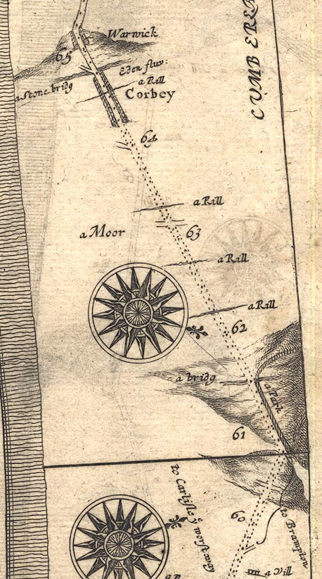
OG86m060.jpg
In mile 64, Cumberland. "Corbey"
houses each side of the road.
item:- JandMN : 73
Image © see bottom of page
|
|
|
| places:- |
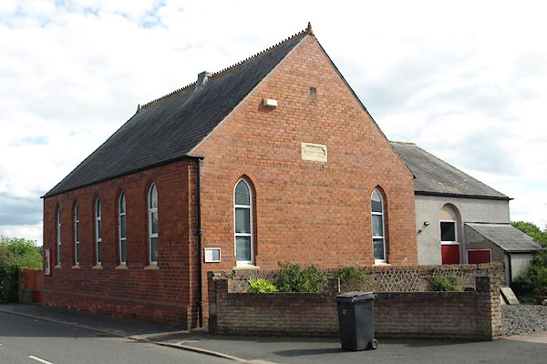 |
NY47985703 Corby Wesleyan Chapel (Hayton) |
|
|
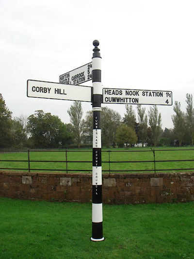 |
NY48025700 fingerpost, Corby Hill (Hayton) |
|
|
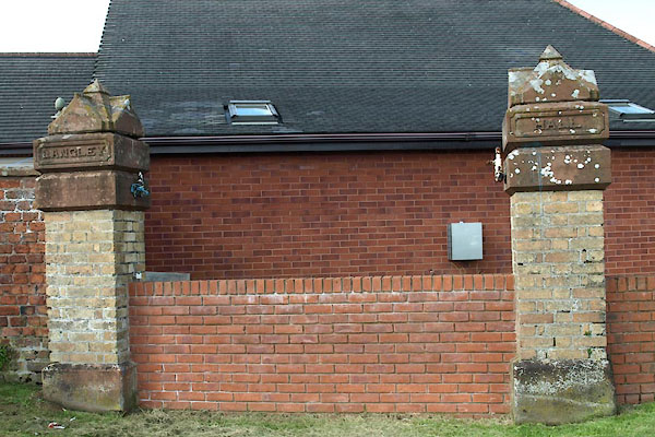 |
NY480570 Langley Hall (Hayton) gone |
|
|
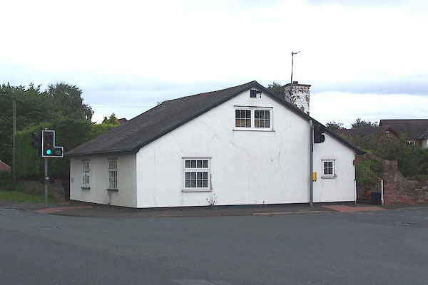 |
NY47935711 Langley Toll Cottage (Hayton) |
|
|
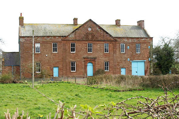 |
NY47755753 Little Corby Hall (Hayton) L |
|
|
 |
NY47405707 Little Corby (Hayton) |
|
|
|
NY47685723 Plough Inn (Hayton) |
|
|
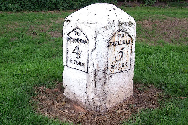 |
NY47865702 milestone, Hayton (3) (Hayton) L |
|
