 |
 |
|
|
|
|
Common End |
| locality:- |
Distington |
| civil parish:- |
Distington (formerly Cumberland) |
| county:- |
Cumbria |
| locality type:- |
locality |
| locality type:- |
buildings |
| coordinates:- |
NY00482270 (etc) |
| 1Km square:- |
NY0022 |
| 10Km square:- |
NY02 |
|
|
| evidence:- |
old map:- OS County Series (Cmd 61 7)
placename:- Common End
|
| source data:- |
Maps, County Series maps of Great Britain, scales 6 and 25
inches to 1 mile, published by the Ordnance Survey, Southampton,
Hampshire, from about 1863 to 1948.
|
|
|
| places:- |
 |
NY00562257 Belle Vue (Distington) |
|
|
|
NY00512279 Boot Bridge (Distington) |
|
|
|
NY00532278 brewery, Distington (Distington) gone |
|
|
|
NY00182247 Castle Mill (Distington) |
|
|
|
NY00592243 Common Side (Distington) |
|
|
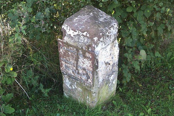 |
NY00522290 milestone, Distington (2) (Distington) L |
|
|
|
NY00372257 Distington Museum (Distington) gone |
|
|
|
NY00322248 pinfold, Distington (Distington) |
|
|
|
NY00382241 school, Common End (Distington) |
|
