 Old Cumbria Gazetteer
 |
 |
|
| Clough Head, St John's Castlerigg etc | ||
| Clough Head | ||
| civil parish:- | St John's Castlerigg and Wythburn (formerly Cumberland) | |
| county:- | Cumbria | |
| coordinates:- | NY33392255 | |
| 1Km square:- | NY3322 | |
| 10Km square:- | NY32 | |
| altitude:- | 2382 feet | |
| altitude:- | 726m | |
|
|
||
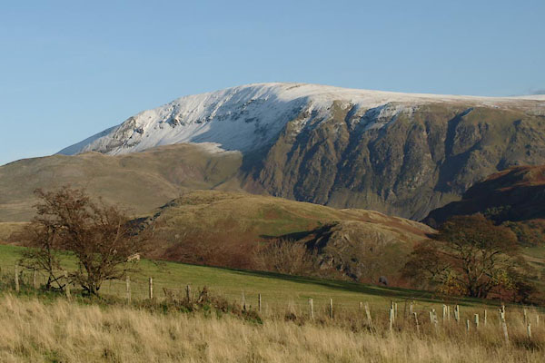 BXP69.jpg (taken 4.11.2012) 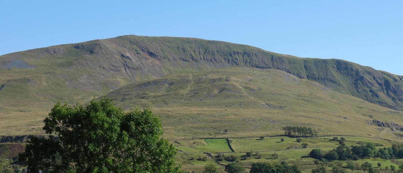 Click to enlarge CBO25.jpg (taken 26.8.2014) |
||
|
|
||
| evidence:- | probably descriptive text:- West 1778 (11th edn 1821) placename:- Threlkeld Fell |
|
| source data:- | Guide book, A Guide to the Lakes, by Thomas West, published by
William Pennington, Kendal, Cumbria once Westmorland, and in
London, 1778 to 1821. goto source goto sourcePage 85:- "... Threlkeld-fell, a gloomy mountain of dark dun rocks, that shuts up the view of the wide spreading vale of St. John." |
|
|
|
||
 BOV24.jpg (taken 17.3.2008) |
||
|
|
||
Lakes Guides menu.