 |
 |
   |
|
|
|
Clappersgate |
| civil parish:- |
Lakes (formerly Westmorland) |
| county:- |
Cumbria |
| locality type:- |
buildings |
| coordinates:- |
NY36660348 (etc) |
| 1Km square:- |
NY3603 |
| 10Km square:- |
NY30 |
|
|
| evidence:- |
old map:- Saxton 1579
placename:- Claperyate
|
| source data:- |
Map, hand coloured engraving, Westmorlandiae et Cumberlandiae Comitatus ie Westmorland
and Cumberland, scale about 5 miles to 1 inch, by Christopher Saxton, London, engraved
by Augustinus Ryther, 1576, published 1579-1645.
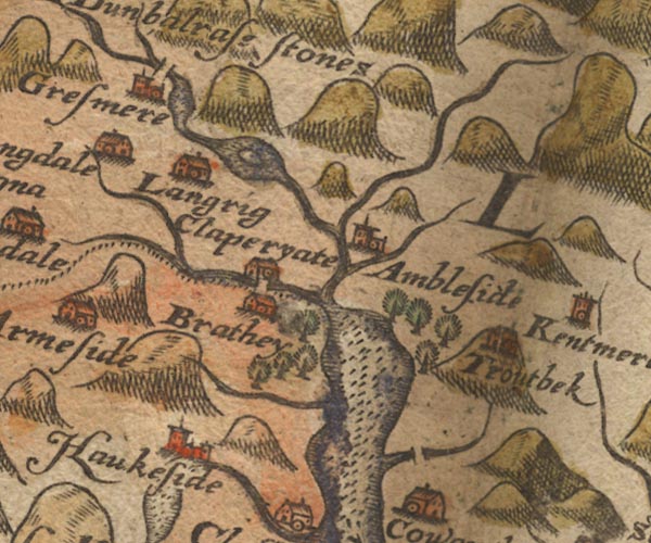
Sax9NY30.jpg
Building, symbol for a hamlet, which may or may not have a nucleus. "Claperyate"
item:- private collection : 2
Image © see bottom of page
|
|
|
| evidence:- |
old map:- Speed 1611 (Wmd)
placename:- Claperyate
|
| source data:- |
Map, hand coloured engraving, The Countie Westmorland and
Kendale the Cheif Towne, scale about 2.5 miles to 1 inch, by
John Speed, 1610, published by George Humble, Popes Head Alley,
London, 1611-12.
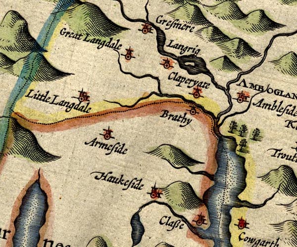
SP14NY30.jpg
"Claperyate"
circle, tower
item:- Armitt Library : 2008.14.5
Image © see bottom of page
|
|
|
| evidence:- |
old map:- Jansson 1646
placename:- Claperyate
|
| source data:- |
Map, hand coloured engraving, Cumbria and Westmoria, ie
Cumberland and Westmorland, scale about 3.5 miles to 1 inch, by
John Jansson, Amsterdam, Netherlands, 1646.
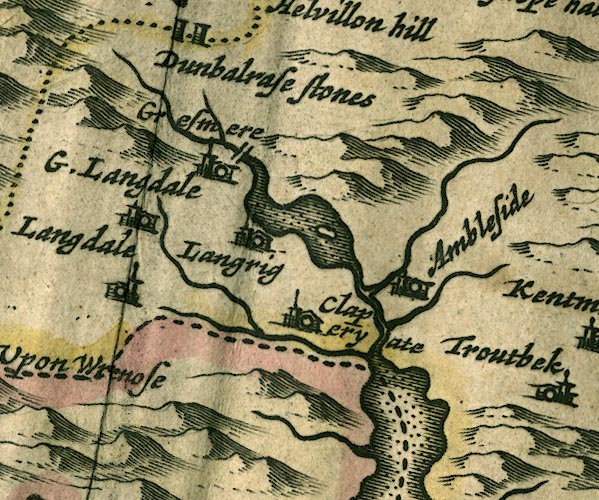
JAN3NY30.jpg
"Claperyate"
Buildings and tower.
item:- JandMN : 88
Image © see bottom of page
|
|
|
| evidence:- |
hearth tax returns:- Hearth Tax 1675
placename:- Clappersgate
|
| source data:- |
Records, hearth tax survey returns, Westmorland, 1674/75.
"Clappersgate"
in "Loughrigge and Rydall"
|
|
|
| evidence:- |
old map:- Morden 1695 (Wmd)
placename:- Clapperyate
|
| source data:- |
Map, hand coloured engraving, Westmorland, scale about 2.5 miles to 1 inch, by Robert
Morden, published by Abel Swale, the Unicorn, St Paul's Churchyard, Awnsham, and John
Churchill, the Black Swan, Paternoster Row, London, 1695.
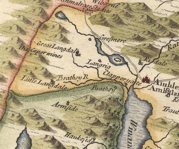
MD10NY30.jpg
"Clapperyate"
Circle.
item:- JandMN : 24
Image © see bottom of page
|
|
|
| evidence:- |
old map:- Bowen and Kitchin 1760
placename:- Clapersgate
|
| source data:- |
Map, hand coloured engraving, A New Map of the Counties of
Cumberland and Westmoreland Divided into their Respective Wards,
scale about 4 miles to 1 inch, by Emanuel Bowen and Thomas
Kitchin et al, published by T Bowles, Robert Sayer, and John
Bowles, London, 1760.
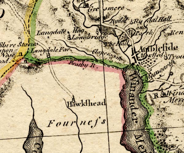
BO18SD29.jpg
"Clapersgate"
circle, tower
item:- Armitt Library : 2008.14.10
Image © see bottom of page
|
|
|
| evidence:- |
old map:- Jefferys 1770 (Wmd)
placename:- Clapersgate
|
| source data:- |
Map, 4 sheets, The County of Westmoreland, scale 1 inch to 1
mile, surveyed 1768, and engraved and published by Thomas
Jefferys, London, 1770.
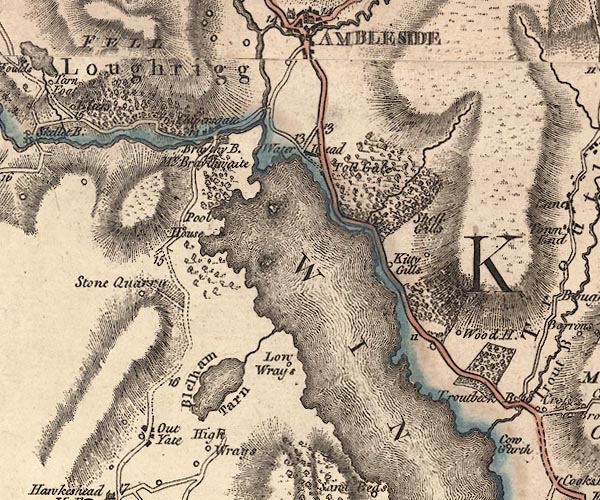
J5NY30SE.jpg
"Clapersgate"
blocks, labelled in italic lowercase text; settlement, village?
item:- National Library of Scotland : EME.s.47
Image © National Library of Scotland |
|
|
| evidence:- |
old map:- Crosthwaite 1783-94 (Win/Ble)
placename:- Clappersgate
|
| source data:- |
Map, uncoloured engraving, An Accurate Map of the Grand Lake of
Windermere, scale about 2 inches to 1 mile, by Peter
Crosthwaite, Keswick, Cumberland, 1783, version published 1819.
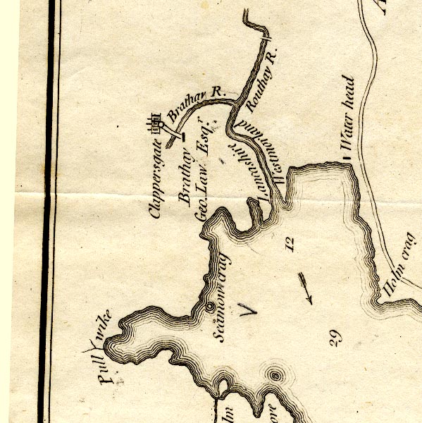
CT9NY30R.jpg
"Clappersgate"
circle and buildings, town or village
item:- Armitt Library : 2008.14.102
Image © see bottom of page
|
|
|
| evidence:- |
old map:- West 1784 map
placename:- Clappers gate
|
| source data:- |
Map, hand coloured engraving, A Map of the Lakes in Cumberland,
Westmorland and Lancashire, scale about 3.5 miles to 1 inch,
engraved by Paas, 53 Holborn, London, about 1784.
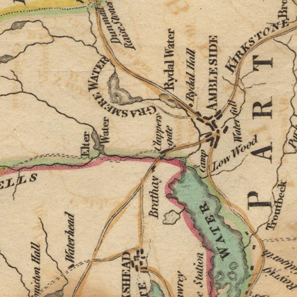
Ws02NY30.jpg
item:- Armitt Library : A1221.1
Image © see bottom of page
|
|
|
| evidence:- |
old map:- Clarke 1787 map (Windermere N)
placename:- Clappersgate
|
| source data:- |
Map, A Map of the Northern Part of the Lake Winandermere and its
Environs, scale about 6.5 ins to 1 mile, by James Clarke,
engraved by Samuel John Neele, 352 Strand, published by James
Clarke, Penrith, Cumberland and in London etc, 1787.
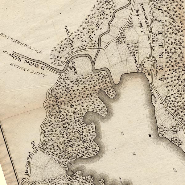
CLANY30R.jpg
"Clappersgate"
item:- private collection : 10.10
Image © see bottom of page
|
|
|
| evidence:- |
old map:- Cary 1789 (edn 1805)
placename:- Clapersgate
|
| source data:- |
Map, uncoloured engraving, Westmoreland, scale about 2.5 miles
to 1 inch, by John Cary, London, 1789; edition 1805.
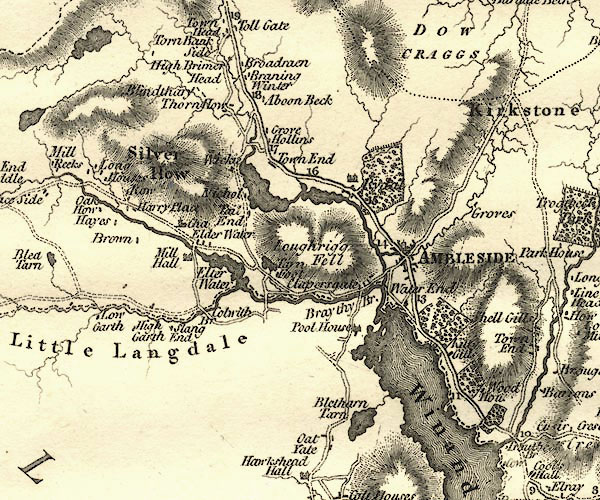
CY24NY30.jpg
"Clapersgate"
block/s, labelled in italic lowercase; house, or hamlet
item:- JandMN : 129
Image © see bottom of page
|
|
|
| evidence:- |
old map:- Otley 1818
placename:- Clappersgate
|
| source data:- |
Map, uncoloured engraving, The District of the Lakes,
Cumberland, Westmorland, and Lancashire, scale about 4 miles to
1 inch, by Jonathan Otley, 1818, engraved by J and G Menzies,
Edinburgh, Scotland, published by Jonathan Otley, Keswick,
Cumberland, et al, 1833.
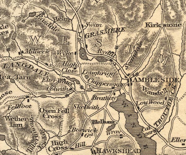
OT02NY30.jpg
item:- JandMN : 48.1
Image © see bottom of page
|
|
|
| evidence:- |
old print:- Green 1822 (plate 8)
placename:- Clappersgate
item:- fingerpost
|
| source data:- |
Print, uncoloured soft ground etching, Clappersgate, Westmorland, by William Green,
Ambleside, Westmorland, 1822.
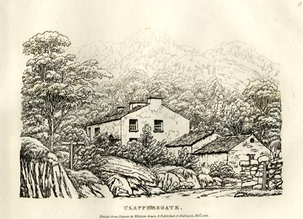 click to enlarge click to enlarge
GN0808.jpg
Plate 8 in Forty Etchings from Nature.
printed at bottom:- "CLAPPERSGATE. / Etched from Nature by William Green, &Published at Ambleside, Feby.
1, 1822."
item:- Armitt Library : A6644.8
Image © see bottom of page
|
|
|
| evidence:- |
old drawing:- Flower 1830s
item:- Crag Head Cottage
|
| source data:- |
Drawing, pencil, cottage, Clappersgate? Westmorland, by John Flower, 1830s?
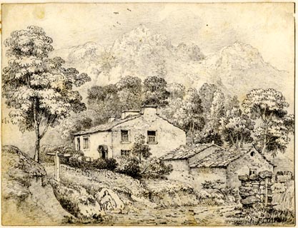 click to enlarge click to enlarge
PR1858.jpg
ms, lower right "[J. FLOWER]"
item:- Armitt Library : 1959.66.1
Image © see bottom of page
|
|
|
| evidence:- |
old map:- Ford 1839 map
placename:- Clappergate
|
| source data:- |
Map, uncoloured engraving, Map of the Lake District of
Cumberland, Westmoreland and Lancashire, scale about 3.5 miles
to 1 inch, published by Charles Thurnam, Carlisle, and by R
Groombridge, 5 Paternoster Row, London, 3rd edn 1843.
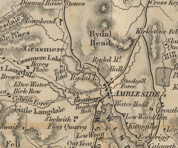
FD02NY30.jpg
"Clappergate"
item:- JandMN : 100.1
Image © see bottom of page
|
|
|
| evidence:- |
old map:- Garnett 1850s-60s H
placename:- Clappersgate
|
| source data:- |
Map of the English Lakes, in Cumberland, Westmorland and
Lancashire, scale about 3.5 miles to 1 inch, published by John
Garnett, Windermere, Westmorland, 1850s-60s.
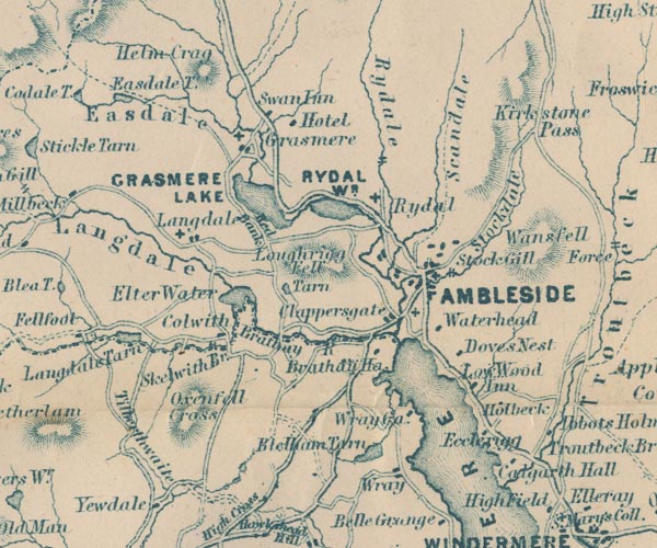
GAR2NY30.jpg
"Clappersgate"
blocks, settlement
item:- JandMN : 82.1
Image © see bottom of page
|
|
|
| evidence:- |
old text:- Martineau 1855
|
| source data:- |
Guide book, A Complete Guide to the English Lakes, by Harriet
Martineau, published by John Garnett, Windermere, Westmorland,
and by Whittaker and Co, London, 1855; published 1855-76.
 goto source goto source
Page 44:- "... Clappersgate, with its white houses, nestles under Loughrigg, at the head of the
lake; ..."
|
|
|
| evidence:- |
old map:- Prior 1874 map 1
placename:- Clappersgate
|
| source data:- |
Map, uncoloured engraving or lithograph? Winander Mere, scale
about 2.5 miles to 1 inch, published by John Garnett,
Windermere, Westmorland, 1874.
 click to enlarge click to enlarge
PI03M1.jpg
"Clappersgate"
block/s; building/s
item:- private collection : 133.1
Image © see bottom of page
|
|
|
| evidence:- |
old photograph:- Bell 1880s-1940s
|
| source data:- |
Photograph, sepia, Windermere lake from above Clappersgate, Windermere, Westmorland,
by Herbert Bell, photographer, Ambleside, Westmorland, 1890s.
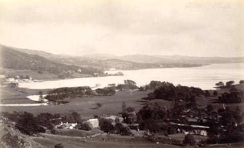 click to enlarge click to enlarge
HB0793.jpg
internegative at lower left:- "H. Bell"
item:- Armitt Library : ALPS456
Image © see bottom of page
|
|
|
| evidence:- |
old print:- Green 1809
placename:- Clappers Gate
|
| source data:- |
Print, soft ground etching, Clappers Gate, Westmorland, by William Green, published
by William Green, Ambleside, Westmorland, and Longman, Hurst, Rees and Orme, Paternoster
Row, London, 1809.
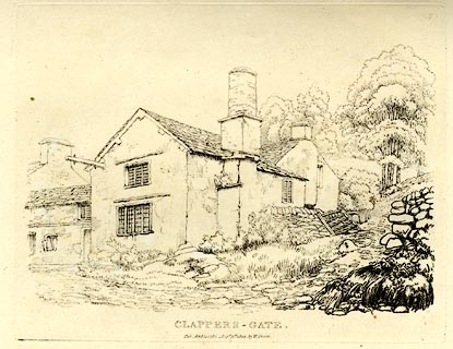 click to enlarge click to enlarge
GN0307.jpg
Plate 7 in Seventy Eight Studies from Nature.
printed in introductory pages to set of prints:- "Number 7. Clappersgate, is scarcely a mile from Ambleside, on the road to Hawkshead;
it consists of about a dozen houses."
printed at bottom:- "CLAPPERS-GATE. / Pub. Ambleside, Augst. 1st. 1809, by W. Green."
item:- Armitt Library : A6637.7
Image © see bottom of page
|
|
|
| evidence:- |
old print with text:- Farington 1789 (plate 10)
|
| source data:- |
Print, engraving, Brathay Bridge, near Ambleside, Lakes, Cumbria, painted by Joseph
Farington, engraved by W Byrne and T Medland, published by W Byrne, 69 Titchfield
Street, London, 1787.
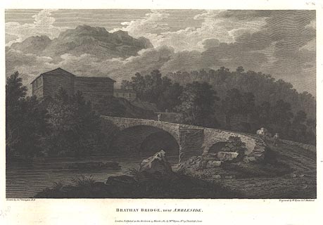 click to enlarge click to enlarge
BMZ12.jpg
From the lower side of the bridge, across which a packhorse is being led.
Plate 10 from Views of the Lakes, &c, in Cumberland and Westmorland, published 1789;
with descriptive text:- "BRATHAY BRIDGE NEAR AMBLESIDE."
"IT has been already remarked in the preceding set that this country derives no inconsiderable
advantage in respect of beauty from the form of it's buildings and bridges. The present
view is selected principally with design of illustrating and confirming the observation.
The scene itself lies upon the road leading from Ambleside to Hawkshead about a mile
distant from the former place. It can hardly fail to attract the notice of the admirer
of landscape and has not unfrequently called into exercise the powers of the artist.
The long lines and flat roofs so much admired in the Italian buildings are peculiarly
striking. The houses form a part of the village of Clappersgate. ..."
item:- Dove Cottage : Lowther.13
Image © see bottom of page
|
|
|
hearsay:-
|
In the 16th century Clappersgate was a port; there was a wharf on the river where
slate was loaded to be taken down Windermere by boat.
|
|
|


 click to enlarge
 click to enlarge

 goto source
 click to enlarge
 click to enlarge
 click to enlarge
 click to enlarge