 Old Cumbria Gazetteer
 |
 |
|
| Chapel Bridge, King's Meaburn | ||
| Chapel Bridge | ||
| site name:- | Lyvennet, River | |
| locality:- | Kemplee | |
| civil parish:- | King's Meaburn (formerly Westmorland) | |
| civil parish:- | Morland (formerly Westmorland) | |
| county:- | Cumbria | |
| locality type:- | bridge | |
| coordinates:- | NY61452193 | |
| 1Km square:- | NY6121 | |
| 10Km square:- | NY62 | |
|
|
||
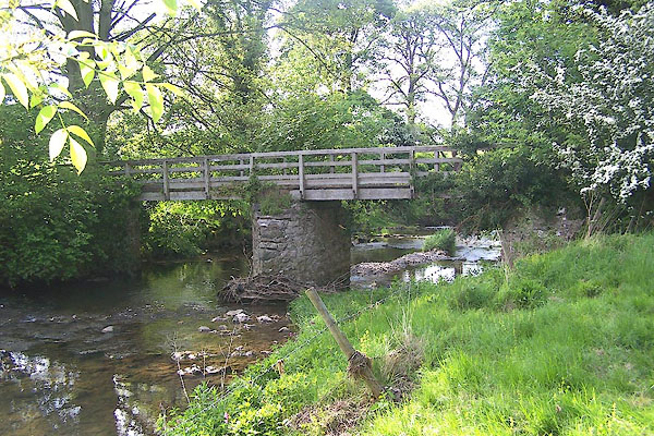 BMF20.jpg (taken 1.6.2006) |
||
|
|
||
| evidence:- | old map:- OS County Series (Wmd 8 16) placename:- Chapel Bridge |
|
| source data:- | Maps, County Series maps of Great Britain, scales 6 and 25
inches to 1 mile, published by the Ordnance Survey, Southampton,
Hampshire, from about 1863 to 1948. |
|
|
|
||
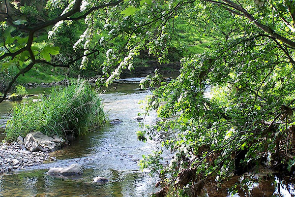 BMF21.jpg View of river. (taken 1.6.2006) |
||
|
|
||
 Lakes Guides menu.