 Old Cumbria Gazetteer
 |
 |
|
| Cartmel Fell | ||
| civil parish:- | Cartmel Fell (formerly Lancashire) | |
| county:- | Cumbria | |
| locality type:- | buildings | |
| locality type:- | locality | |
| coordinates:- | SD41548808 (etc) | |
| 1Km square:- | SD4188 | |
| 10Km square:- | SD48 | |
|
|
||
| evidence:- | probably old map:- Saxton 1579 placename:- Carpmanfell |
|
| source data:- | Map, hand coloured engraving, Westmorlandiae et Cumberlandiae Comitatus ie Westmorland
and Cumberland, scale about 5 miles to 1 inch, by Christopher Saxton, London, engraved
by Augustinus Ryther, 1576, published 1579-1645.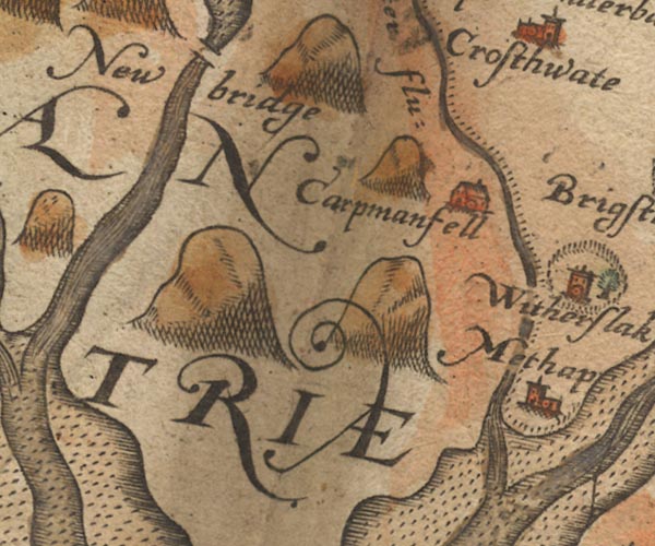 Sax9SD38.jpg Building, symbol for a hamlet, which may or may not have a nucleus. "Carpmanfell" Settlement. item:- private collection : 2 Image © see bottom of page |
|
|
|
||
| evidence:- | old map:- Speed 1611 (Cum/EW) |
|
| source data:- | Map, hand coloured engraving, Kingdome of Great Britaine and
Ireland, scale about 36 miles to 1 inch, by John Speed, about
1610-11, published by Thomas Bassett, Fleet Street and Richard
Chiswell, St Paul's Churchyard, London, 1676? click to enlarge click to enlargeSPD6Cm.jpg hillocks item:- private collection : 85 Image © see bottom of page |
|
|
|
||
| evidence:- | old map:- Speed 1611 (Wmd) placename:- Carp: man-fell |
|
| source data:- | Map, hand coloured engraving, The Countie Westmorland and
Kendale the Cheif Towne, scale about 2.5 miles to 1 inch, by
John Speed, 1610, published by George Humble, Popes Head Alley,
London, 1611-12.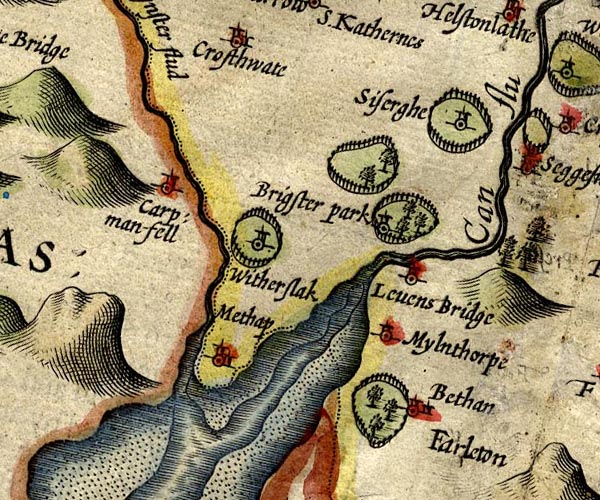 SP14SD48.jpg "Carp: man-fell" circle, tower item:- Armitt Library : 2008.14.5 Image © see bottom of page |
|
|
|
||
| evidence:- | old map:- Jansson 1646 placename:- Carpmanfell |
|
| source data:- | Map, hand coloured engraving, Cumbria and Westmoria, ie
Cumberland and Westmorland, scale about 3.5 miles to 1 inch, by
John Jansson, Amsterdam, Netherlands, 1646.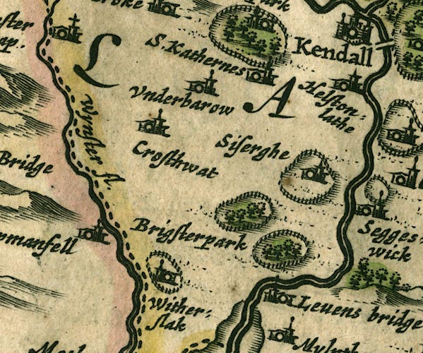 JAN3SD48.jpg "Carpmanfell" Buildings and tower. item:- JandMN : 88 Image © see bottom of page |
|
|
|
||
| evidence:- | probably old map:- Seller 1694 (Wmd) placename:- Crqmanfell |
|
| source data:- | Map, hand coloured engraving, Westmorland, scale about 8 miles
to 1 inch, by John Seller, 1694. click to enlarge click to enlargeSEL7.jpg "Crqmanfell" circle, italic lowercase text; settlement or house item:- Dove Cottage : 2007.38.87 Image © see bottom of page |
|
|
|
||
| evidence:- | old map:- Morden 1695 (Wmd) placename:- Carmanfell |
|
| source data:- | Map, hand coloured engraving, Westmorland, scale about 2.5 miles to 1 inch, by Robert
Morden, published by Abel Swale, the Unicorn, St Paul's Churchyard, Awnsham, and John
Churchill, the Black Swan, Paternoster Row, London, 1695.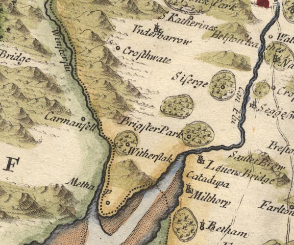 MD10SD48.jpg "Carmanfell" Circle. item:- JandMN : 24 Image © see bottom of page |
|
|
|
||
| evidence:- | old map:- Jefferys 1770 (Wmd) placename:- Cartmell Fells |
|
| source data:- | Map, 4 sheets, The County of Westmoreland, scale 1 inch to 1
mile, surveyed 1768, and engraved and published by Thomas
Jefferys, London, 1770.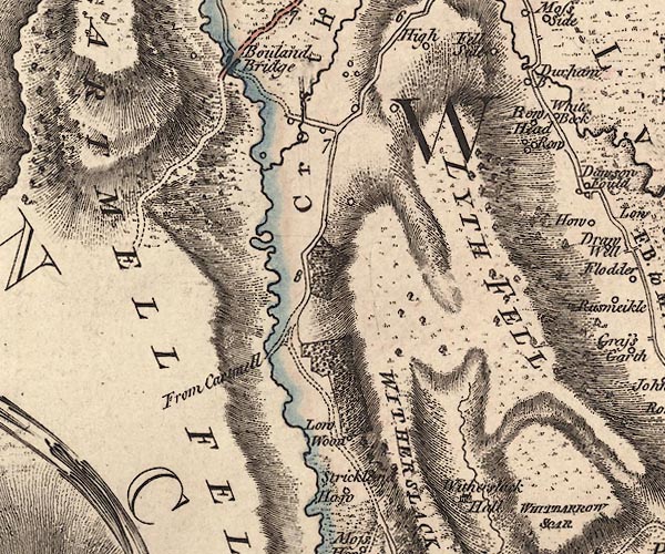 J5SD48NW.jpg 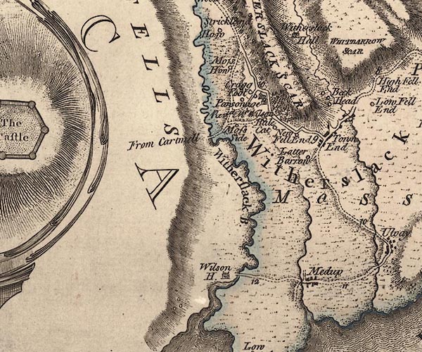 J5SD48SW.jpg  J5SD49SW.jpg "CARTMELL FELLS" hill hachuring; hill or mountain item:- National Library of Scotland : EME.s.47 Images © National Library of Scotland |
|
|
|
||
| evidence:- | old map:- Cary 1789 (edn 1805) placename:- Cartmel Fells |
|
| source data:- | Map, uncoloured engraving, Westmoreland, scale about 2.5 miles
to 1 inch, by John Cary, London, 1789; edition 1805. CY24SD49.jpg 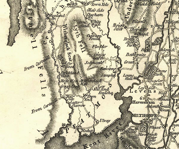 CY24SD48.jpg "Cartmell Fells" hill hachuring item:- JandMN : 129 Image © see bottom of page |
|
|
|
||
| evidence:- | old map:- Otley 1818 placename:- Cartmel Fell |
|
| source data:- | Map, uncoloured engraving, The District of the Lakes,
Cumberland, Westmorland, and Lancashire, scale about 4 miles to
1 inch, by Jonathan Otley, 1818, engraved by J and G Menzies,
Edinburgh, Scotland, published by Jonathan Otley, Keswick,
Cumberland, et al, 1833.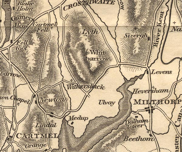 OT02SD48.jpg item:- JandMN : 48.1 Image © see bottom of page |
|
|
|
||
| evidence:- | descriptive text:- Otley 1823 (5th edn 1834) item:- geology |
|
| source data:- | Guide book, A Concise Description of the English Lakes, the
mountains in their vicinity, and the roads by which they may be
visited, with remarks on the mineralogy and geology of the
district, by Jonathan Otley, published by the author, Keswick,
Cumberland now Cumbria, by J Richardson, London, and by Arthur
Foster, Kirkby Lonsdale, Cumbria, 1823; published 1823-49,
latterly as the Descriptive Guide to the English Lakes. goto source goto sourcePage 161:- "A superincumbent bed of limestone, by some called the mountain, by others the upper transition limestone, mantles round these mountains, in a position unconformable to the strata of the slaty and other rocks upon which it reposes. It bassets out near ..." goto sourcePage 162:- "Witherslack, Cartmel, Dalton ..." |
|
|
|
||
| evidence:- | old map:- Ford 1839 map placename:- Cartmel |
|
| source data:- | Map, uncoloured engraving, Map of the Lake District of
Cumberland, Westmoreland and Lancashire, scale about 3.5 miles
to 1 inch, published by Charles Thurnam, Carlisle, and by R
Groombridge, 5 Paternoster Row, London, 3rd edn 1843.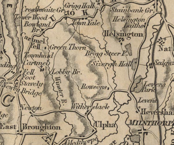 FD02SD48.jpg "Cartmel" item:- JandMN : 100.1 Image © see bottom of page |
|
|
|
||
| evidence:- | old map:- Garnett 1850s-60s H placename:- Cartmel Fells |
|
| source data:- | Map of the English Lakes, in Cumberland, Westmorland and
Lancashire, scale about 3.5 miles to 1 inch, published by John
Garnett, Windermere, Westmorland, 1850s-60s. GAR2SD38.jpg "Cartmel Fells" area item:- JandMN : 82.1 Image © see bottom of page |
|
|
|
||
| evidence:- | old text:- Martineau 1855 |
|
| source data:- | Guide book, A Complete Guide to the English Lakes, by Harriet
Martineau, published by John Garnett, Windermere, Westmorland,
and by Whittaker and Co, London, 1855; published 1855-76. goto source Page 22:- "... two brothers whose name and fame will not be let die. Their name was Dodgson; and they lived in Cartmel Fell above a century ago. They were so intent on their wood-cutting that they spent Sunday in cooking their food for the whole week. They ate little but oatmeal porridge; and, when that fell short, they tried Friar Tuck's ostensible diet of dried peas and hard beans. As they grew old, they began to feel the need of domestic help. Said the one to the other, "Thou mun out and tait a wife." "Yes!" was the reply; "if thear be a hard job, thou olus sets yan tult." The thing was accomplished, however; and when the old fellows were still chopping away at upwards of eighty, rain or shine, ill or well, there was the wife in the dwelling, and children to help. The brothers left considerable property; but it went the way of miser's money; and there are no Dodgson's now in Cartmel Fell. ..." |
|
|
|
||
Lakes Guides menu.