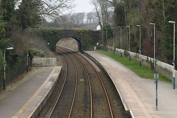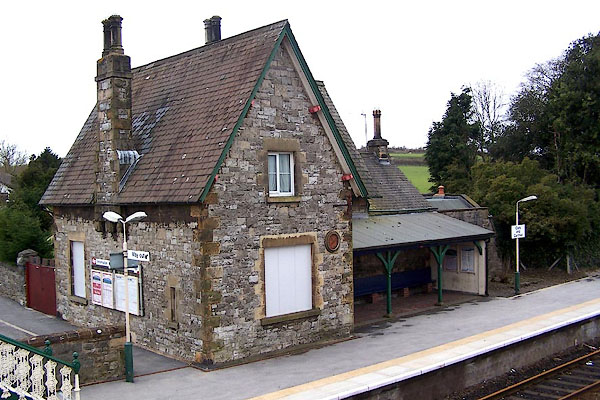
Cark and Cartmel Station, Cark | ||
Cark and Cartmel Station | ||
Cark-in-Cartmel Station | ||
Cark Station | ||
site name:- | Ulverstone and Lancaster Railway | |
locality:- | Cark | |
civil parish:- | Lower Holker (formerly Lancashire) | |
county:- | Cumbria | |
locality type:- | railway station | |
coordinates:- | SD36507625 | |
1Km square:- | SD3676 | |
10Km square:- | SD37 | |
SummaryText:- | Opened as Cark-in-Cartmel Station 1857; renamed Cark and Cartmel 1906; rename Cark Station 1986. | |
|
||
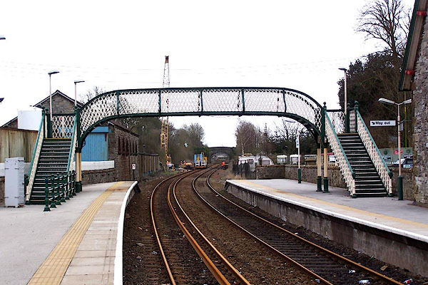
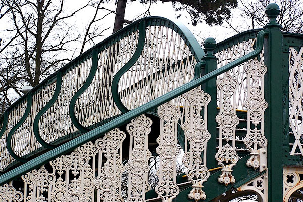
BLU18.jpg (taken 7.4.2006) BLU19.jpg Footbridge. (taken 7.4.2006) |
||
|
||
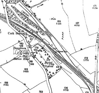
evidence:- | old map:- OS County Series (Lan 17 6) placename:- Cark Station item:- railway signal; railway bridge |
|
source data:- | Maps, County Series maps of Great Britain, scales 6 and 25
inches to 1 mile, published by the Ordnance Survey, Southampton,
Hampshire, from about 1863 to 1948. click to enlarge CSRY0161.jpg "Cark Station / Signal Box / S.P. / Cattle Pens / Coal Yard" |
|
|
||
evidence:- | probably old map:- Postlethwaite 1877 (3rd edn 1913) |
|
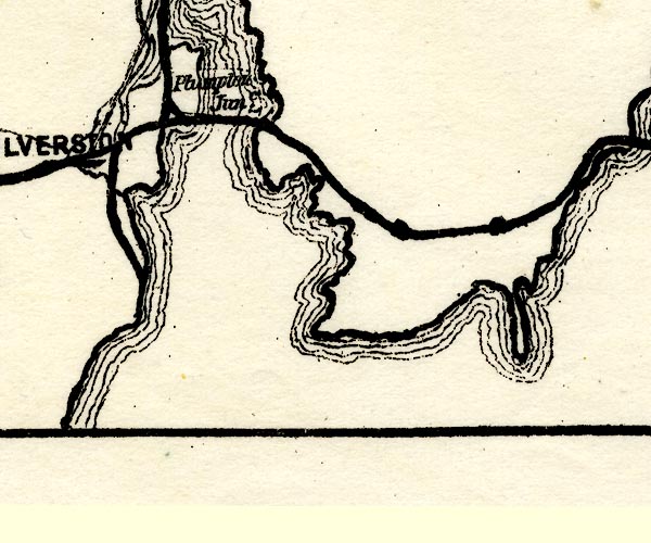
source data:- | Map, uncoloured engraving, Map of the Lake District Mining Field, Westmorland, Cumberland,
Lancashire, scale about 5 miles to 1 inch, by John Postlethwaite, published by W H
Moss and Sons, 13 Lowther Street, Whitehaven, Cumberland, 1877 edn 1913. PST2SD37.jpg station on railway item:- JandMN : 162.2 Image © see bottom of page |
|
|
||
evidence:- | database:- Listed Buildings 2010 |
|
source data:- | courtesy of English Heritage "FOOTBRIDGE OVER RAILWAY AT CARK AND CARTMEL STATION / / STATION ROAD / LOWER HOLKER / SOUTH LAKELAND / CUMBRIA / II / 77081 / SD3652876233" |
|
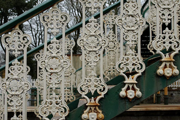
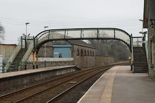
source data:- | courtesy of English Heritage "Footbridge. For Ulverston and Lancaster Railway later part of Furness Railway. 1857. Cast and wrought iron. Stairs have openwork splat balusters and newels with ball finials. Landings on fluted columns with round bases and foliated capitals; 3 centred arches with tracery spandrels. Landing and bridge have lattice balustrades." |
|
|
||
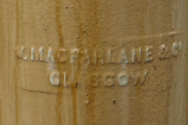
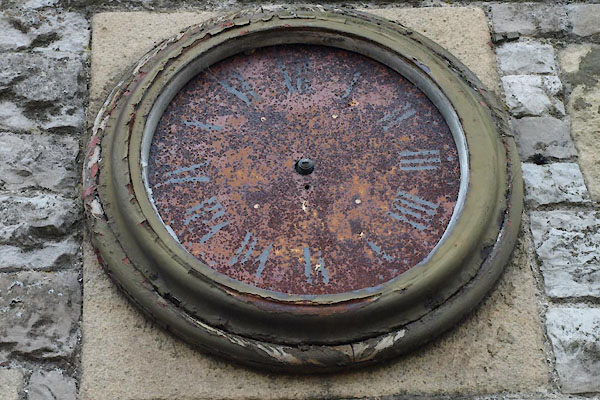
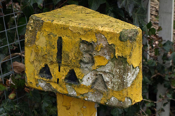
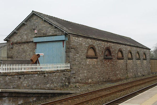
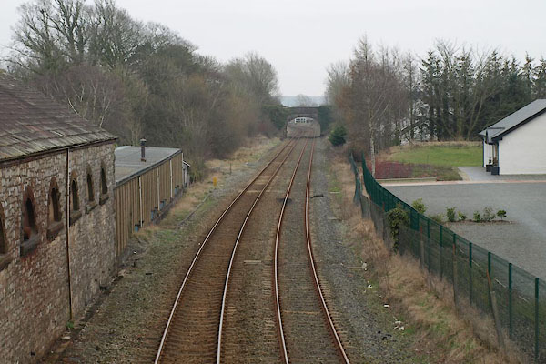
BLU20.jpg Footbridge. (taken 7.4.2006) BUE50.jpg Footbridge. (taken 4.3.2011) BUE51.jpg Footbridge, maker:- "W. MACFARLANE &CO. / GLASGOW" (taken 4.3.2011) BUE53.jpg Footbridge. (taken 4.3.2011) BUE56.jpg Station clock. (taken 4.3.2011) BUE57.jpg Milepost at end of platform, (taken 4.3.2011) BUE52.jpg Goods shed. (taken 4.3.2011) |
||
|
||
BUE54.jpg View SE. (taken 4.3.2011) BUE55.jpg View NW. (taken 4.3.2011) |
||
|
||
Paley and Austin series | ||
person:- | architect : Austin, Hubert J |
|
person:- | architect : Paley, Henry A |
|
date:- | 1865 |
|
Waiting shelter, later demolished. |
||
|
||
Paley and Austin series | ||
person:- | architect : Paley, Edward G |
|
person:- | architect : Austin, Hubert J |
|
date:- | 1875 |
|
New building. |
||
|