 Old Cumbria Gazetteer
 |
 |
|
| Calvert's Bridge, Keswick | ||
| Calvert's Bridge | ||
| site name:- | Greta, River | |
| Street:- | Penrith Road | |
| locality:- | Brigham | |
| civil parish:- | Keswick (formerly Cumberland) | |
| county:- | Cumbria | |
| locality type:- | bridge | |
| coordinates:- | NY27432384 | |
| 1Km square:- | NY2723 | |
| 10Km square:- | NY22 | |
|
|
||
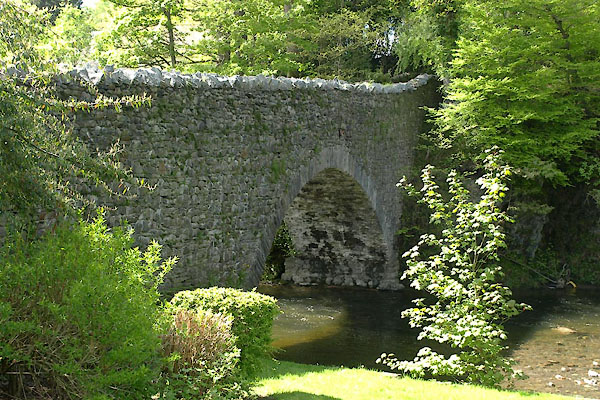 BYI96.jpg (taken 21.5.2013) 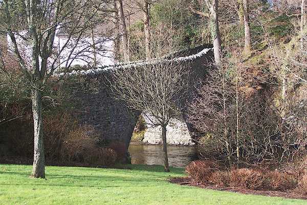 BNE33.jpg (taken 17.2.2007) |
||
|
|
||
| evidence:- | old map:- OS County Series (Cmd 64 2) placename:- Calvert's Bridge |
|
| source data:- | Maps, County Series maps of Great Britain, scales 6 and 25
inches to 1 mile, published by the Ordnance Survey, Southampton,
Hampshire, from about 1863 to 1948. |
|
|
|
||
| evidence:- | database:- Listed Buildings 2010 placename:- Calvert's Bridge |
|
| source data:- | courtesy of English Heritage "CALVERT'S BRIDGE / / PENRITH ROAD / KESWICK / ALLERDALE / CUMBRIA / II / 71793 / NY2743223834" |
|
| source data:- | courtesy of English Heritage "Possibly C19. Stone single segmental arch with solid parapets, and narrow roadway (about 12 ft)." |
|
|
|
||
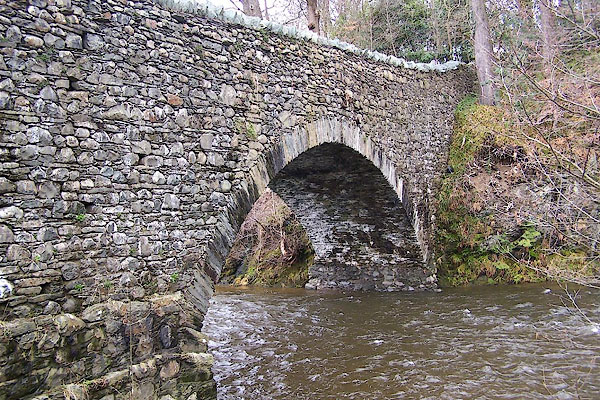 BLT72.jpg (taken 3.4.2006) 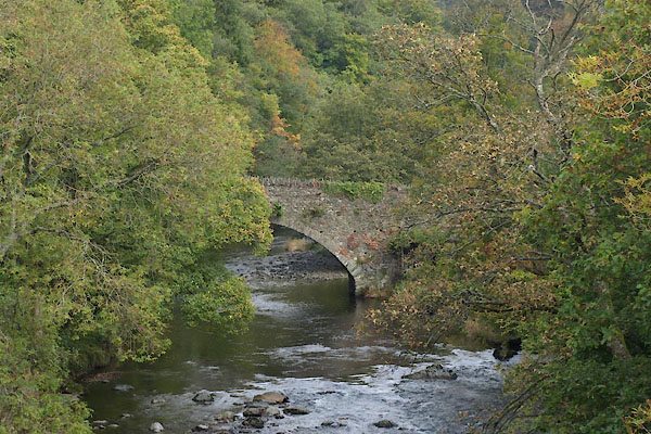 BVK99.jpg From downstream. (taken 1.10.2011) |
||
|
|
||
 Lakes Guides menu.