 Old Cumbria Gazetteer
 |
 |
|
| Calf Crag, Easedale | ||
| Calf Crag | ||
| civil parish:- | Lakes (formerly Westmorland) | |
| county:- | Cumbria | |
| locality type:- | rocks | |
| coordinates:- | NY30191045 | |
| 1Km square:- | NY3010 | |
| 10Km square:- | NY31 | |
| altitude:- | 1762 feet | |
| altitude:- | 537m | |
|
|
||
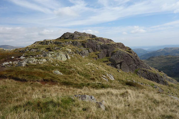 CBP96.jpg (taken 8.9.2014) 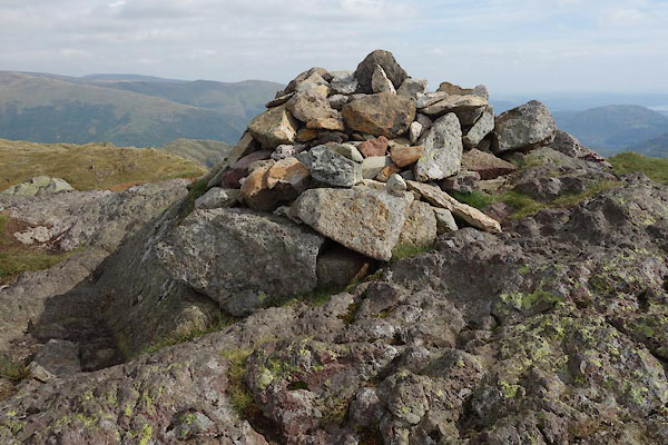 CBP98.jpg Cairn. (taken 8.9.2014) |
||
|
|
||
| evidence:- | old map:- OS County Series (Wmd 18 11) placename:- Calf Crag |
|
| source data:- | Maps, County Series maps of Great Britain, scales 6 and 25
inches to 1 mile, published by the Ordnance Survey, Southampton,
Hampshire, from about 1863 to 1948. |
|
|
|
||
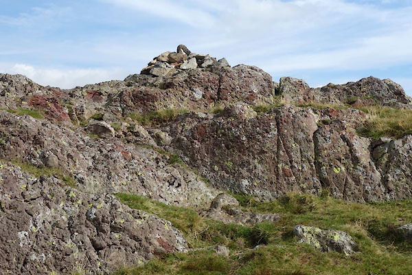 CBP97.jpg (taken 8.9.2014) |
||
|
|
||
| MN photo:- |
a rock. |
|
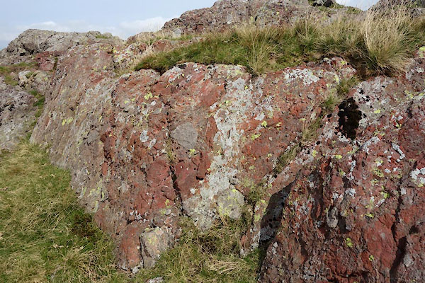 CBP94.jpg (taken 8.9.2014)  CBP95.jpg (taken 8.9.2014) |
||
|
|
||
 Lakes Guides menu.