 Old Cumbria Gazetteer
 |
 |
|
| Broomrigg stone circles, Ainstable | ||
| Broomrigg Stone Circles | ||
| locality:- | Broomrigg Plantation | |
| civil parish:- | Ainstable (formerly Cumberland) | |
| county:- | Cumbria | |
| locality type:- | stone circle | |
| coordinates:- | NY548467 (circle A) | |
| coordinates:- | NY548466 (circle B) | |
| coordinates:- | NY548465 (circle C) | |
| coordinates:- | NY550466 (circle D) | |
| 1Km square:- | NY5446 | |
| 1Km square:- | NY5546 | |
| 10Km square:- | NY54 | |
|
|
||
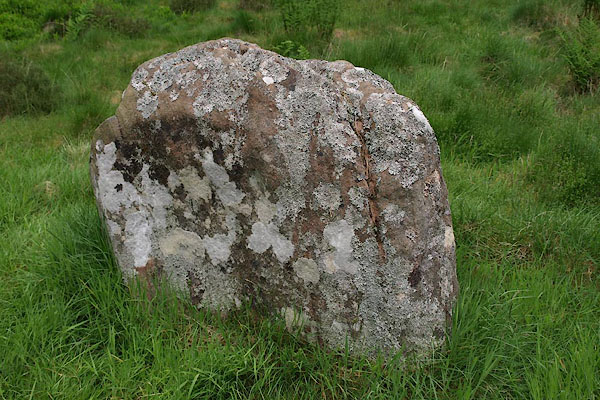 BPH10.jpg The stone near the forest ride which helps find the circles. (taken 30.5.2008) 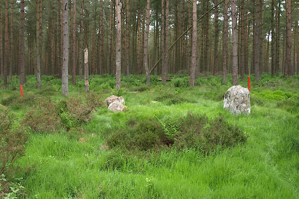 BPH16.jpg The stone near the forest ride which helps find the circles. (taken 30.5.2008) |
||
| To protect them from forestry operations (presumably) there are red markers. |
||
|
|
||
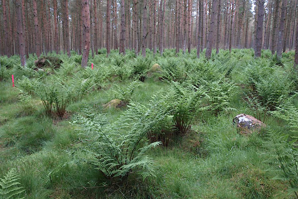 BPH11.jpg (taken 30.5.2008) 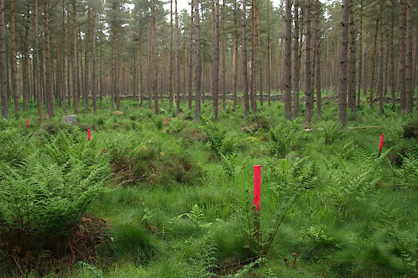 BPH12.jpg (taken 30.5.2008) 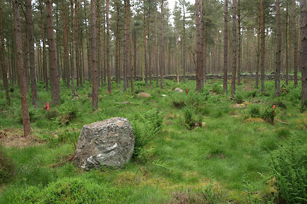 BPH13.jpg (taken 30.5.2008) 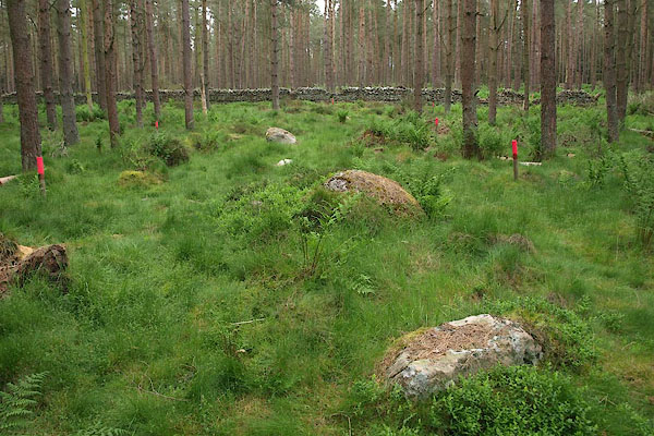 BPH14.jpg (taken 30.5.2008) 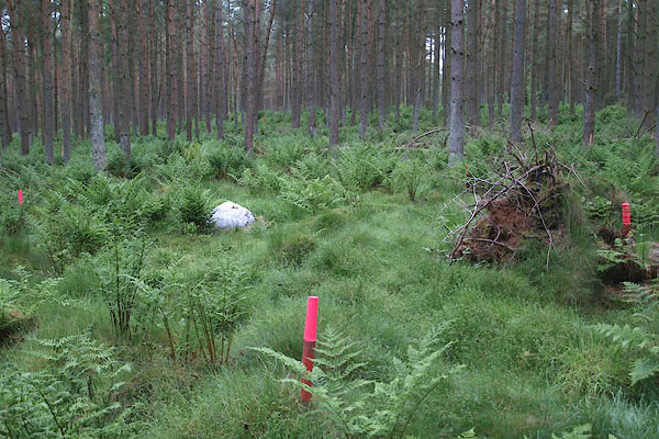 BPH15.jpg (taken 30.5.2008) |
||
|
|
||
| hearsay:- |
Four circles hidden in a conifer plantation. |
|
| Broomrigg A - elongated circle, major length about 50m, 3 visible stones now, possible
avenue to NW. |
||
| Broomrigg B - 4 of 7 stones are left, circle 3.4m diameter. |
||
| Broomrigg C - originally 14 stones, diameter about 15.6m. |
||
| Broomrigg D - ring of stones 5.5x4.5m |
||
| Waterhouse, John: 1985: Stone Circles of Cumbria: Phillimore and Co (Chichester, Sussex)::
ISBN 0 85033 566 3 Fletcher, W: 1957:: TWCAAS: vol.57: pp.1- Cherry, J: 1967:: TWCAAS: vol.67: pp.1- Burl, H A W: 1976: Stone Circles of the British Isles: Yale University Press (United States) |
||
|
|
||
| notes:- |
A cup and ring? marked stone is in Tullie House Museum. |
|
| Becckensall, Stan: 2002: Prehistoric Rock Art in Cumbria: Tempus Publishing (Stroud,
Gloucestershire) |
||
|
|
||
 Lakes Guides menu.