 Old Cumbria Gazetteer
 |
 |
|
| Broomrigg Plantation, Ainstable | ||
| Broomrigg Plantation | ||
| civil parish:- | Ainstable (formerly Cumberland) | |
| county:- | Cumbria | |
| locality type:- | wood | |
| coordinates:- | NY54664671 (etc) | |
| 1Km square:- | NY5446 | |
| 10Km square:- | NY54 | |
|
|
||
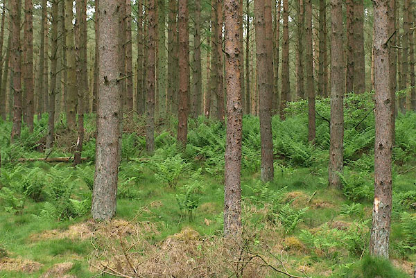 BPH17.jpg (taken 30.5.2008) 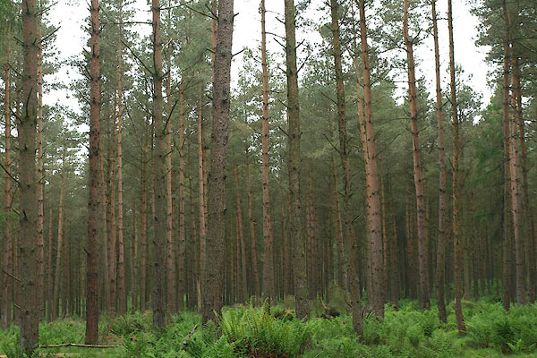 BPH18.jpg (taken 30.5.2008) |
||
|
|
||
| evidence:- | old map:- OS County Series (Cmd 32 9) placename:- Broomrigg Plantation |
|
| source data:- | Maps, County Series maps of Great Britain, scales 6 and 25
inches to 1 mile, published by the Ordnance Survey, Southampton,
Hampshire, from about 1863 to 1948. |
|
|
|
||
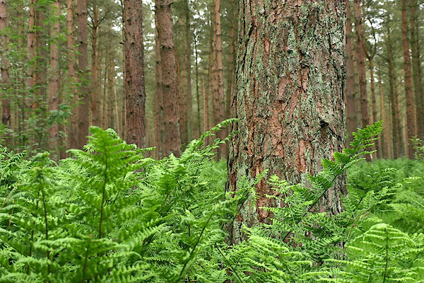 BPH19.jpg (taken 30.5.2008) |
||
|
|
||
 Lakes Guides menu.