 |
 |
|
|
|
|
Briery |
| civil parish:- |
Keswick (formerly Cumberland) |
| civil parish:- |
Underskiddaw (formerly Cumberland) |
| county:- |
Cumbria |
| locality type:- |
locality |
| locality type:- |
buildings |
| coordinates:- |
NY28572416 (etc) |
| 1Km square:- |
NY2824 |
| 10Km square:- |
NY22 |
|
|
| evidence:- |
old map:- OS County Series (Cmd 64 3)
placename:- Briery
|
| source data:- |
Maps, County Series maps of Great Britain, scales 6 and 25
inches to 1 mile, published by the Ordnance Survey, Southampton,
Hampshire, from about 1863 to 1948.
|
|
|
| places:- |
 |
NY28582412 Briery Bobbin Mill Siding (Keswick) |
|
|
|
NY28542414 mill, Briery (Keswick) |
|
|
|
NY28582420 mill, Briery (2) (Keswick) |
|
|
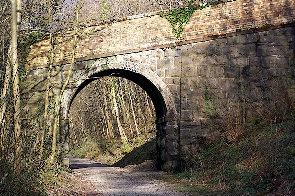 |
NY28562409 railway bridge, Briery (Keswick) |
|
|
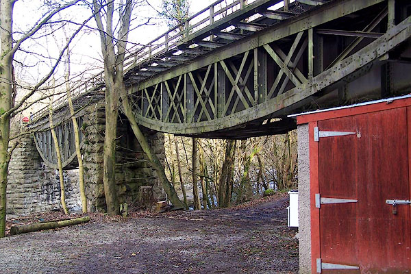 |
NY28742430 railway bridge, Briery (2) (Keswick) |
|
