 Old Cumbria Gazetteer
 |
 |
|
| Bradley, Great Strickland | ||
| Bradley | ||
| civil parish:- | Great Strickland (formerly Westmorland) | |
| county:- | Cumbria | |
| locality type:- | buildings | |
| coordinates:- | NY57352315 | |
| 1Km square:- | NY5723 | |
| 10Km square:- | NY52 | |
|
|
||
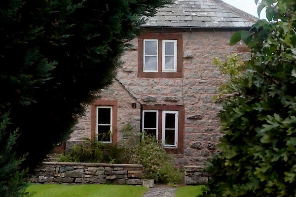 CDT25.jpg (taken 28.8.2015) |
||
|
|
||
| evidence:- | old map:- OS County Series (Wmd 8 10) placename:- Bradley |
|
| source data:- | Maps, County Series maps of Great Britain, scales 6 and 25
inches to 1 mile, published by the Ordnance Survey, Southampton,
Hampshire, from about 1863 to 1948. |
|
|
|
||
| evidence:- | database:- Listed Buildings 2010 placename:- Bradley |
|
| source data:- | courtesy of English Heritage "BRADLEY AND BARN ADJOINING / / / GREAT STRICKLAND / EDEN / CUMBRIA / II / 74271 / NY5735923156" |
|
|
|
||
| evidence:- | database:- Listed Buildings 2010 |
|
| source data:- | courtesy of English Heritage "BARN NORTH WEST OF BRADLEY / / / GREAT STRICKLAND / EDEN / CUMBRIA / DL / 74272 / NY5733823173" |
|
|
|
||
 Lakes Guides menu.