 Old Cumbria Gazetteer
 |
 |
|
| Bowmanstead, Coniston | ||
| Bowmanstead | ||
| civil parish:- | Coniston (formerly Lancashire) | |
| county:- | Cumbria | |
| locality type:- | buildings | |
| locality type:- | locality | |
| coordinates:- | SD30019684 | |
| 1Km square:- | SD3096 | |
| 10Km square:- | SD39 | |
|
|
||
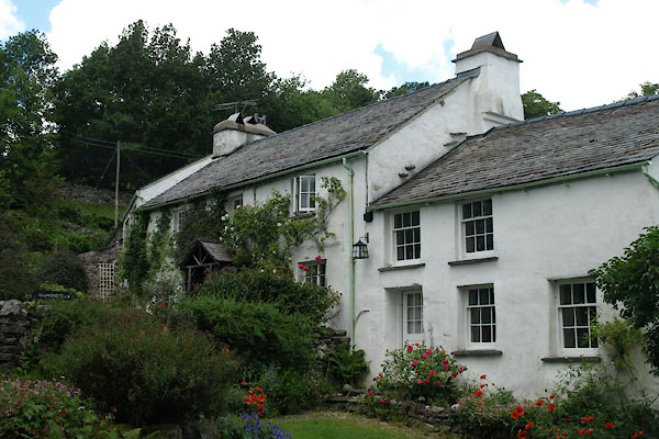 BWU01.jpg (taken 18.6.2012) |
||
|
|
||
| evidence:- | old map:- OS County Series (Lan 4 8) placename:- Bowmanstead |
|
| source data:- | Maps, County Series maps of Great Britain, scales 6 and 25
inches to 1 mile, published by the Ordnance Survey, Southampton,
Hampshire, from about 1863 to 1948. |
|
|
|
||
| evidence:- | database:- Listed Buildings 2010 placename:- Bowanstead |
|
| source data:- | courtesy of English Heritage "BOWANSTEAD / / A 593 / CONISTON / SOUTH LAKELAND / CUMBRIA / II / 76793 / SD3001096842" |
|
|
|
||
| hearsay:- |
There was a garrison of archers based here for the defence of Coniston Hall. |
|
|
|
||
 Lakes Guides menu.