 Old Cumbria Gazetteer
 |
 |
|
| Borrowdale, Whinfell | ||
| Borrowdale | ||
| civil parish:- | Whinfell (formerly Westmorland) | |
| civil parish:- | Tebay (formerly Westmorland) | |
| civil parish:- | Orton S (formerly Westmorland) | |
| civil parish:- | Fawcett Forest (formerly Westmorland) | |
| civil parish:- | Shap Rural (formerly Westmorland) | |
| county:- | Cumbria | |
| locality type:- | valley | |
| coordinates:- | NY57190250 (etc etc) | |
| 1Km square:- | NY5702 | |
| 10Km square:- | NY50 | |
|
|
||
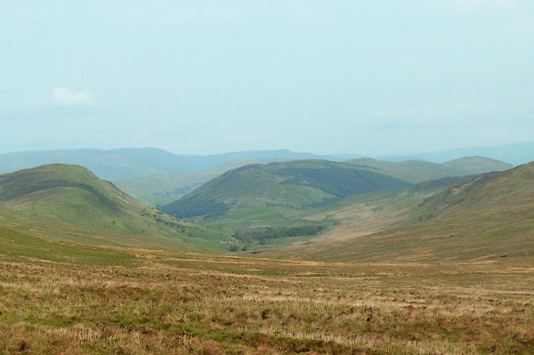 BPF80.jpg From Borrowdale Moss. (taken 24.5.2008) 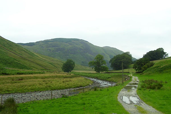 BPN58.jpg (taken 23.7.2008) |
||
|
|
||
| evidence:- | old map:- OS County Series (Wmd 27 8) placename:- Borrowdale |
|
| source data:- | Maps, County Series maps of Great Britain, scales 6 and 25
inches to 1 mile, published by the Ordnance Survey, Southampton,
Hampshire, from about 1863 to 1948. OS County Series (Wmd 28 9) OS County Series (Wmd 28 14) |
|
|
|
||
| evidence:- | old map:- Jefferys 1770 (Wmd) placename:- Borrowdale |
|
| source data:- | Map, 4 sheets, The County of Westmoreland, scale 1 inch to 1
mile, surveyed 1768, and engraved and published by Thomas
Jefferys, London, 1770.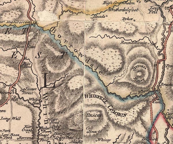 J5NY50SE.jpg "Borrowdale" hill hachuring; valley item:- National Library of Scotland : EME.s.47 Image © National Library of Scotland |
|
|
|
||
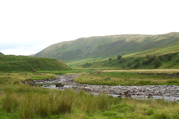 BPN72.jpg (taken 23.7.2008) 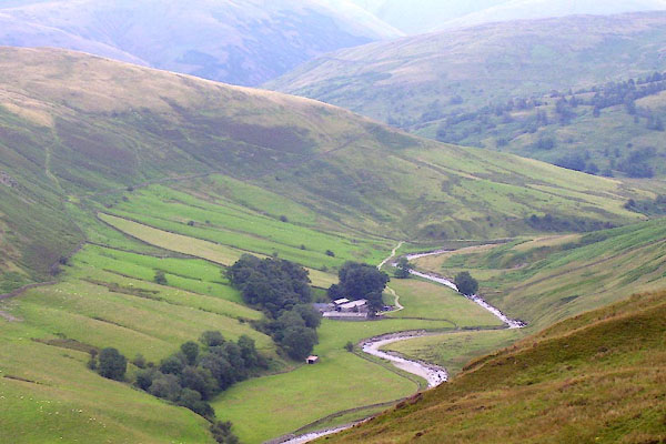 BPN73.jpg (taken 23.7.2008) |
||
|
|
||
 Lakes Guides menu.