 Old Cumbria Gazetteer
 |
 |
|
| Boon Crag Farm, Coniston | ||
| Boon Crag Farm | ||
| locality:- | High Water Head | |
| civil parish:- | Coniston (formerly Lancashire) | |
| county:- | Cumbria | |
| locality type:- | buildings | |
| coordinates:- | SD31589836 | |
| 1Km square:- | SD3198 | |
| 10Km square:- | SD39 | |
|
|
||
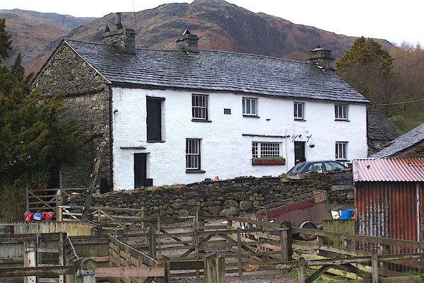 BLV63.jpg (taken 13.4.2006) 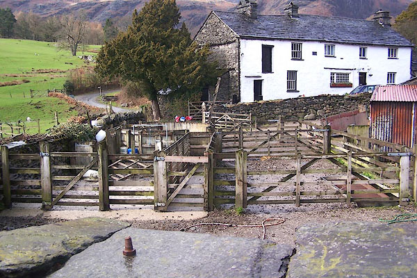 BLV64.jpg Sheep pens. (taken 13.4.2006) |
||
|
|
||
| evidence:- | old map:- OS County Series (Lan 4 4) placename:- Boon Crag |
|
| source data:- | Maps, County Series maps of Great Britain, scales 6 and 25
inches to 1 mile, published by the Ordnance Survey, Southampton,
Hampshire, from about 1863 to 1948. |
|
|
|
||
| evidence:- | database:- Listed Buildings 2010 |
|
| source data:- | courtesy of English Heritage "BARNS TO EAST OF BOON CRAG FARMHOUSE / / B 5285 / CONISTON / SOUTH LAKELAND / CUMBRIA / II / 76797 / SD3157898368" |
|
|
|
||
| evidence:- | database:- Listed Buildings 2010 |
|
| source data:- | courtesy of English Heritage "BOON CRAG FARMHOUSE / / B 5285 / CONISTON / SOUTH LAKELAND / CUMBRIA / II / 76796 / SD3155498377" |
|
|
|
||
 Lakes Guides menu.