 |
 |
   |
|
|
|
Bigrigg |
| civil parish:- |
Egremont (formerly Cumberland) |
| county:- |
Cumbria |
| locality type:- |
locality |
| locality type:- |
buildings |
| coordinates:- |
NY00141304 (etc) |
| 1Km square:- |
NY0013 |
| 10Km square:- |
NY01 |
|
|
| evidence:- |
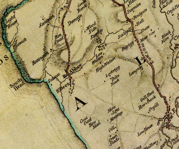
old map:- Donald 1774 (Cmd)
placename:- Bigrigg
|
| source data:- |
Map, hand coloured engraving, 3x2 sheets, The County of Cumberland, scale about 1
inch to 1 mile, by Thomas Donald, engraved and published by Joseph Hodskinson, 29
Arundel Street, Strand, London, 1774.

D4NX91SE.jpg
"Bigrigg"
block or blocks, labelled in lowercase; a hamlet or just a house
item:- Carlisle Library : Map 2
Image © Carlisle Library |
|
|
| places:- |
 |
NY00501325 Bigrigg Goods Depot (Cleator Moor) |
|
|
 |
NY009138 Bigrigg Junction (Cleator Moor) |
|
|
 |
NY00421345 Fletcher Pit (Egremont) |
|
|
 |
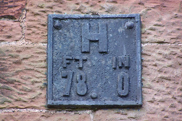
NX99801380 hydrant plate, Bigrigg (Egremont) |
|
|
 |
NY00351330 James's Pit (Egremont) |
|
|
 |
NY00101307 milestone, Egremont (3) (Egremont) |
|
|
 |
NY00181295 police station, Bigrigg (Egremont) |
|
|
 |
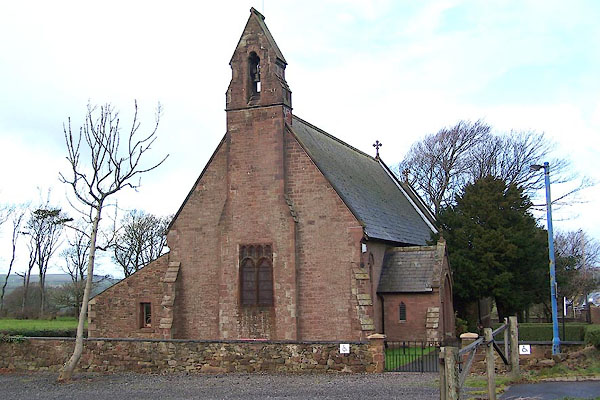
NX99781381 St Michael and St John's Church (Egremont) L |
|
|
 |
NX99991336 Summer Hill (Egremont) |
|
|
 |
NY00011330 Summerhill Terrace (Egremont) |
|
|
 |
NY00041315 village hall, Bigrigg (Egremont) |
|
|
 |
NY00181302 West View (Egremont) |
|


