 Old Cumbria Gazetteer
 |
 |
|
| Belah Viaduct, Kaber | ||
| Belah Viaduct | ||
| Stainmore Viaduct | ||
| site name:- | South Durham and Lancashire Union Railway | |
| site name:- | Belah, River | |
| civil parish:- | Kaber (formerly Westmorland) | |
| civil parish:- | Stainmore (formerly Westmorland) | |
| county:- | Cumbria | |
| locality type:- | railway viaduct | |
| locality type:- | viaduct | |
| coordinates:- | NY83801035 | |
| coordinates:- | NY84021056 | |
| 1Km square:- | NY8310 | |
| 10Km square:- | NY81 | |
| old boundary | ||
| locality:- | Westmorland boundary | |
| locality:- | Cumberland boundary | |
|
|
||
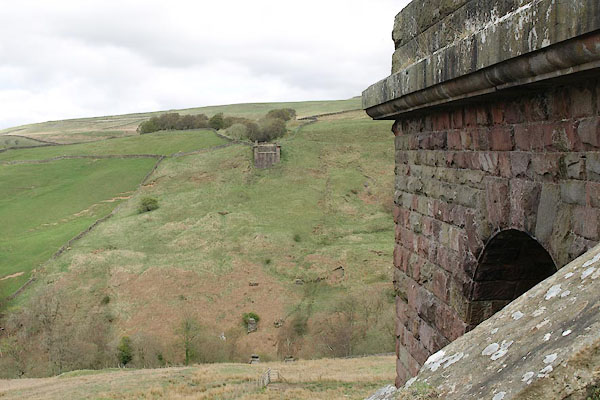 BSQ20.jpg from the SW pier. (taken 30.4.2010) 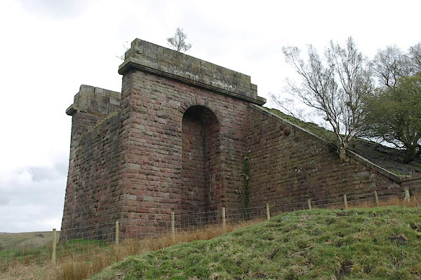 BSQ19.jpg SW pier. (taken 30.4.2010) |
||
|
|
||
| evidence:- | old map:- OS County Series (Wmd 24 5) placename:- Belah Viaduct |
|
| source data:- | Maps, County Series maps of Great Britain, scales 6 and 25
inches to 1 mile, published by the Ordnance Survey, Southampton,
Hampshire, from about 1863 to 1948.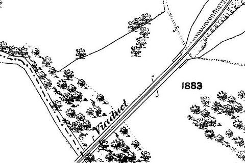 click to enlarge click to enlargeCSRY0195.jpg "Viaduct" the 6 inch sheet has "Belah Viaduct" |
|
|
|
||
 BSP92.jpg (taken 30.4.2010) 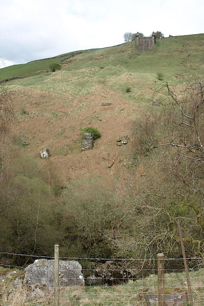 BSQ21.jpg (taken 30.4.2010) 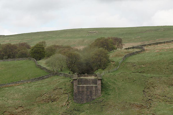 BSQ22.jpg View NE. (taken 30.4.2010) 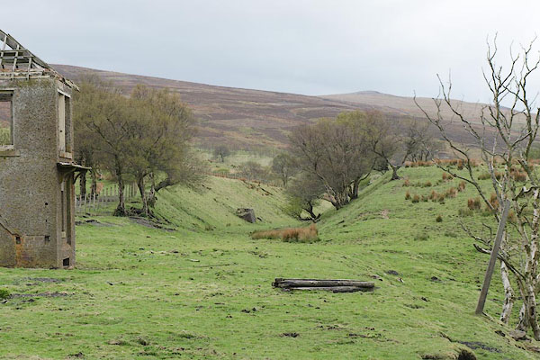 BSQ23.jpg View SW. (taken 30.4.2010) 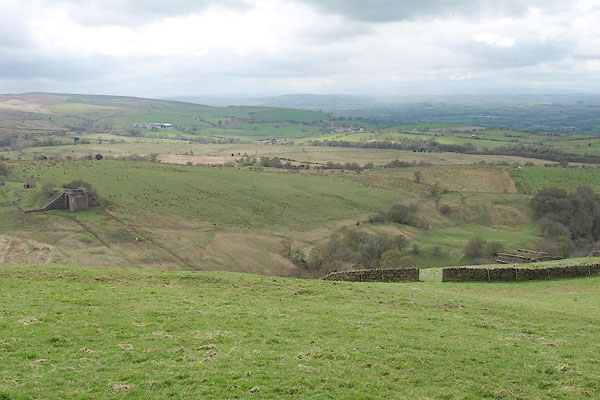 BSQ26.jpg (taken 30.4.2010) 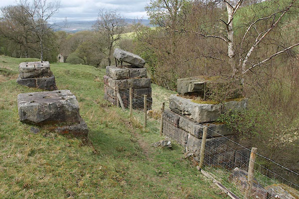 BSQ27.jpg (taken 30.4.2010) |
||
|
|
||
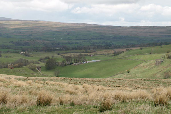
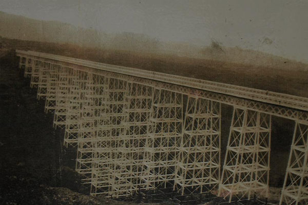 BVB04.jpg |
||
|
|
||
| hearsay:- |
196 feet high, the highest in England when it was built, 1859-60; 1040 feet long,
24 feet wide. There were 16 spans of girder work on cast iron piers on stone bases.
Designed by Thomas Bouch. Demolished 1963. |
|
|
|
||
 Lakes Guides menu.